Boundary Surveys
Corners found or set and the deed compared with fences and buildings.
Boundary Surveys →
Boundary, foundation, topographic and subdivision surveys for Mona homeowners, builders and landowners, from the surveyors just down the road in Nephi.
Mona is one of the fastest-growing towns in Juab County, and most of our work here is for new homes: a boundary survey and site plan for the permit, staking before excavation and a foundation survey after the pour. Owners of older in-town lots usually need a boundary survey before replacing a fence or selling. Families dividing ground outside town need a parcel survey and new legal descriptions.

An early survey of Mona in the 1900s set many of the fence lines along the town’s roadways, and those road-frontage fences often match the boundary. Inside the blocks it’s a different story: interior fences were built over the years without surveys and frequently miss the deeded line. Outside town, parcels follow the section system and old surveys have to be retraced.
Surveys by our Nephi crew, stamped by a Utah PLS, with civil engineers in the same office.
Corners found or set and the deed compared with fences and buildings.
Boundary Surveys →Foundation location and elevation confirmed before framing.
Foundation Surveys →House, garage, utility and septic locations staked before digging.
Construction Staking →Contours for bench lots, driveways and drainage below Mount Nebo.
Topographic Surveys →Lot layout, roads, utilities and the recorded plat for new subdivisions.
Subdivision Design →Engineer foundation certifications for manufactured-home loans.
Foundation Inspections →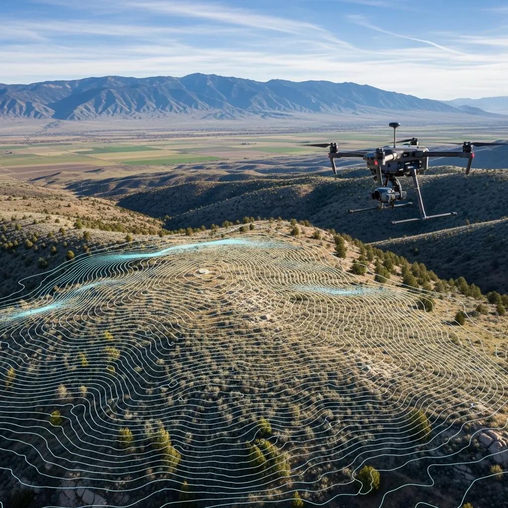
Fields around Mona are becoming home sites and subdivisions. Many sit on gentle slopes rising toward the mountains, where a topographic survey helps place the house, driveway and drainage before design begins.
Using one surveyor from start to finish keeps every measurement tied to the same control, and we’re close enough to respond quickly.
Lines, setbacks and topography for the permit.
House corners and offsets set before excavation.
Optional check of footing location before the pour.
Location and elevation verified after the pour.
Stamped document for the inspector or lender.
The situations we see most often in and around Mona.
Original blocks split over the years, often described from block corners.
Fences inside blocks frequently differ from the deeded line.
Rural parcels tied to section corners that may need retracing.
Recent plats with fresh pins make for quicker, simpler surveys.
Sloped lots need topography for drainage and foundations.
Ditches and pipelines bring easements to many parcels.
Mona is close to our office, so travel is minimal. Lot type and records set the rest, and every quote is a fixed fee.
| Survey Type | Typical Range | Typical Mona Situation |
|---|---|---|
| New subdivision lot | $1,025–$1,800 | Recent plat with existing pins |
| In-town block lot | $1,800–$2,500+ | Older lot with fence and deed differences |
| Acreage outside town | $2,500–$6,000+ | Section-line ground or family land |
| Boundary + topography | $2,000–$4,500 | New home on a sloped lot |
| Foundation survey | Quoted by scope | Lowest when bundled with staking |
| FHA foundation inspection | From $400 | Manufactured-home loan |
Mona deeds, plats and prior surveys are held at the Juab County offices, 160 North Main in Nephi. Every boundary survey we complete is filed with the county within 90 days, as Utah Code § 17-73-504 requires.
Your deed, adjoining deeds and the town or subdivision plat.
Earlier filed surveys and section corner records.
Pins, fences and occupation measured and compared.
Stamped map delivered and filed with Juab County.
Mona sits between our Nephi office and the south end of Utah County, so our crews pass through regularly. Nearby jobs are scheduled together to keep travel costs down.
Guides and services that go deeper than this page.
Every Juab County town we serve.
BuildingWhat the inspector checks after the pour.
GuideWhat the surveyor does and what you get.
NeighborsFixing a gap between fence and deed.
EngineeringSite plans, grading and subdivision design.
Your propertySend the parcel number and your plan.
Questions Mona property owners ask most.
Boundary surveys on newer subdivision lots typically run $1,025–$1,800. In-town block lots usually run $1,800–$2,500 or more, and acreage outside town $2,500–$6,000 or more. Mona is close to our Nephi office, so travel stays low, and every quote is a fixed fee.
Many building departments and lenders want the foundation’s location and elevation confirmed before framing. Send us your permit conditions and we’ll confirm what’s needed. Because we’re nearby, we can usually schedule it soon after your pour.
Sometimes, but not always. Along many of Mona’s roadways, long-standing fences follow lines from an early 1900s survey. Fences inside the blocks and on ground outside town often don’t match the deeds. A boundary survey shows both the deed line and the fence.
We show both on the survey along with the distance between them. Neighbors can often fix the difference with a recorded boundary line agreement or lot-line adjustment; disputes over long occupation are legal questions for an attorney.
Mona is in Juab County, so deeds, plats and prior surveys are held at the Juab County offices, 160 North Main in Nephi.
Most residential boundary surveys are delivered in 1–3 weeks from approval. Foundation surveys and staking are scheduled to your construction dates.
Yes. Utah Code Section 17-73-504 requires the surveyor to file a map of a boundary survey with the county within 90 days of establishing or re-establishing a boundary.
Yes. Our civil engineers prepare site plans, grading and drainage, and subdivision designs, and our surveyors handle the plat and staking, all from the Nephi office.

Send the Mona address or parcel number and what you’re planning. We’ll confirm the right survey and a fixed fee before any fieldwork.