Boundary Surveys
Research the records, recover or set corner monuments and retrace the legal boundary.
Boundary Survey Service →
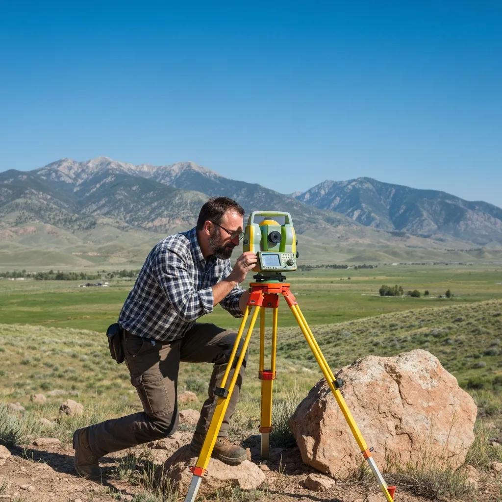
Boundary surveys, site plans for building permits, foundation surveys, topographic mapping and subdivision engineering for homeowners, builders and developers in Santaquin, Genola, Goshen and Elberta.
For a new home, start with a boundary survey and topography so we can draw the site plan the city asks for, then staking and a foundation survey during construction. For a fence, purchase or neighbor question, a boundary survey is the answer. Subdividing land? Santaquin’s preliminary checklist calls for plans by a licensed surveyor or engineer, survey-grade topography and section-corner ties, which we handle in-house.
Every survey is stamped by a licensed Utah Professional Land Surveyor, and every engineering plan by a licensed Professional Engineer.
Research the records, recover or set corner monuments and retrace the legal boundary.
Boundary Survey Service →Property lines, setbacks, distances, easements, utilities and ditches, drawn the way Santaquin’s checklist asks.
Site Planning →Stake the footprint before you dig, then confirm the foundation’s location and elevation.
Construction Staking →Survey-grade contours and features for grading, drainage and design, including hillside lots.
Topographic Surveys →Plats, plan and profile sheets, storm drain reports and section-corner ties for city review.
Subdivision Platting →Grading, storm drainage, utilities and stamped plans for homes and developments.
Civil Engineering →
Santaquin sits where I-15 meets US-6 at the south end of Utah County. Older orchard and farm ground is being divided into new neighborhoods, and lots are climbing into the foothills. That growth means more boundary, topographic and subdivision work, and more city review.
These are the conditions that most often shape scope, schedule and price in Santaquin and the surrounding communities.
Older farm descriptions tied to section corners are being split into lots, which starts with a careful parent survey.
Santaquin’s site plan checklist asks for existing ditches, so they need to be located and shown.
Foothill lots need survey-grade topography for grading, drainage and foundation design.
Recent subdivisions have recorded plats and monuments, which keeps residential work efficient.
The city asks corner-lot site plans to show driveways 30 feet from the corner and the clear-view area.
Nearby rural communities bring acreage, metes-and-bounds descriptions and new home sites.
Santaquin City’s list of items to submit for a single- or multi-family home asks for a site plan with property lines and dimensions, minimum setbacks, distances from the new home to every property line and existing building, and the easements, utilities, curb, gutter, sidewalk and irrigation ditches on the lot.
Building plans and structural calculations must be signed and stamped by an engineer, and a soils engineer’s on-site analysis is checked at the footing inspection. The checklist was revised in September 2021, so confirm the current version with the city before you apply.
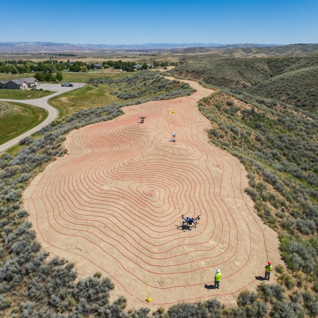
Contours and features drive grading, drainage and foundation design on Santaquin’s foothill lots.
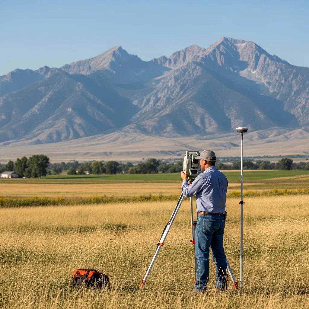
Dividing orchard and farm parcels starts with an accurate parent boundary and section-corner ties.
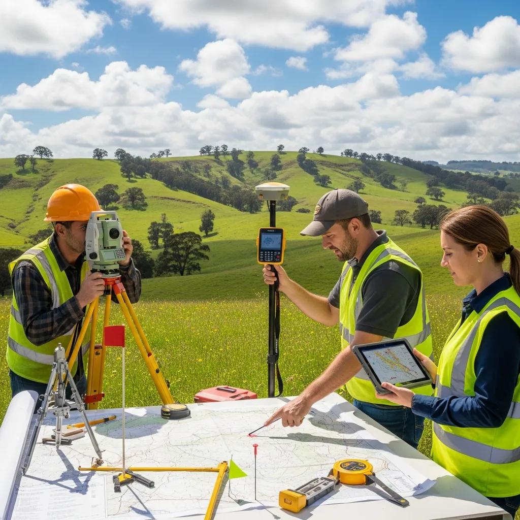
Santaquin’s 2024 preliminary subdivision checklist requires all plans to be prepared by a licensed surveyor and/or engineer. Because we have both in-house, one firm can carry the project from survey to approval.
Santaquin is close to our Nephi office, so travel is minimal. Older farm parcels, missing monuments, hillside lots or added design scope increase the fee. Every job is a fixed fee in writing.
| Service | Typical Planning Range | Common Santaquin Use |
|---|---|---|
| Residential boundary survey | $1,025–$1,800 | Fence, purchase, addition or a subdivision lot |
| Older or complex boundary | $1,800–$2,500+ | Unusual descriptions, missing pins or occupation conflicts |
| Rural / acreage boundary | $2,500–$6,000 | Orchard and farm parcels, Genola and Goshen acreage |
| Boundary + topographic survey | $2,000–$4,500 | New homes needing lines, elevations and a site plan |
| ALTA / NSPS survey | $3,000–$8,000+ | Commercial purchases near I-15 and US-6 |
| Site plans, staking & subdivisions | Quoted by scope | Permits, construction layout and new lots |
The right survey depends on the decision you’re making. These are the combinations we see most often in Santaquin.
Start with a boundary survey before building a permanent fence on or near the line.
Boundary and topo, the city site plan, staking for layout and a foundation survey.
Survey-grade topography for grading, drainage and retaining walls over 4 feet.
Parent boundary, new descriptions or a lot-line adjustment.
Boundary, topo, plat, storm drain report and improvement plans for city review.
An ALTA/NSPS survey coordinated with the title commitment and lender.
Because Santaquin is just up I-15 from Nephi, fieldwork fits into the schedule easily, and a missing pin or question on site can often be checked the same week.
The field visit is only one step. Most of the professional judgment happens in research, analysis and the plans the city reviews.
Address or parcel number, your goal and any permit date.
Deeds, plats, prior surveys and corner records from Utah County.
Recover monuments and measure lines, topography and features.
Stamped survey, site plan or engineering sheets.
PLS or PE review, delivery and county filing.
We serve Santaquin and its neighbors daily from Nephi. For other towns, see the pages below or the Utah County hub.
This page covers surveying and engineering in Santaquin. These pages go deeper on each service, pricing and timelines.
Countywide surveying from Lehi to Santaquin.
Property linesCorners, monument research and stamped survey maps.
PermitsSite plans, grading, drainage and utilities.
Design surveyContours, elevations and existing conditions.
DevelopmentLot layout, plats and improvement plans.
EngineeringGrading, storm drainage, utilities and stamped plans.
ConstructionLay out foundations, roads and utilities.
PricingPlanning ranges for every survey type.
Your propertySend the address or parcel number, goal and deadline.
Common questions from Santaquin homeowners, builders, landowners and developers.
A residential boundary survey typically runs $1,025–$1,800, with complex lots $1,800–$2,500 or more and acreage $2,500–$6,000. Boundary plus topographic usually runs $2,000–$4,500.
The city’s checklist asks for a site plan with lines, setbacks, distances, easements, utilities and ditches, plus engineer-stamped plans and calculations. A boundary survey and topography make the site plan accurate.
Yes. Our in-house engineers prepare site plans, grading and drainage, storm drain reports, subdivision plans and stamped house plans.
Yes. We prepare the boundary, survey-grade topography, plat, section-corner ties and PLSS certificate, storm drain report and improvement plans the city’s checklist requires.
Many builders and lenders want the foundation’s location and elevation confirmed before framing. Send us your permit conditions and we’ll tell you what’s needed.
Parcel maps are helpful references, but they’re not a legal boundary determination. For a fence, building, purchase or dispute, you need a field survey.
A straightforward residential boundary survey commonly takes one to three weeks. Being close by often helps us schedule fieldwork sooner.
Yes. Utah Code § 17-73-504 requires the surveyor to file a map of a boundary survey with the county surveyor within 90 days.
Yes. We regularly survey acreage and new home sites in Genola, Goshen and Elberta, along with Santaquin, Payson and Elk Ridge.
The property address or parcel number, what you’re trying to do and your deadline. A deed, plat, prior survey or city comments help if you have them.

Send the Santaquin property address or parcel number, what you’re trying to do and any permit or construction date. We’ll confirm the scope and a fixed fee before fieldwork begins.