How Long Does a Land Survey Take in Utah? Complete Timeline and Key Factors Explained
Understanding the timeline for land surveys in Utah is crucial for property owners and developers alike. A land survey is an essential process that determines property boundaries, topography, and other critical features of a parcel of land. This article will explore the various types of land surveys, their typical durations, and the factors that can influence these timelines. By the end, you will have a comprehensive understanding of how long a land survey takes in Utah and what you can do to ensure a smooth process. We will cover the typical durations for different types of surveys, the impact of weather and terrain, and how to prepare effectively for a land survey.
Despite advancements in tools and techniques, the fundamental purpose of surveying remains constant.
Technology’s Impact on Surveying Profession & Efficiency
Though development of technologies in the domain of surveying has of course necessitated surveyors of modern world to be more frequently updated in terms of skill and capabilities to adapt him/herself in the new environment, the basic objectives yet remains the same in the profession of surveying.
Surveying: Profession And Professionalism, NR Subedi, 2007
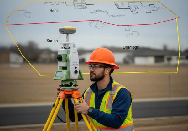
What Are the Typical Durations for Different Types of Land Surveys in Utah?
In Utah, the duration of land surveys can vary significantly based on the type of survey being conducted. Understanding these timeframes can help property owners plan accordingly.
- Residential Surveys: Typically take 1-3 weeks to complete, depending on the complexity of the property and the surveyor’s schedule.
- Commercial Surveys: Generally require about 3-7 days in the field, with additional time for data analysis and report preparation.
- Specialty Surveys: Such as environmental or geodetic surveys, can take several weeks due to their complexity and the need for specialized equipment.
These durations provide a general guideline, but actual times may vary based on specific circumstances.
How Long Does a Boundary Survey Usually Take?

A boundary survey is a specific type of land survey that focuses on determining the exact boundaries of a property. The duration for a boundary survey can vary based on several factors.
Simple residential boundary surveys usually take about 1-3 weeks to complete. However, more complex surveys, which may involve multiple property lines or disputes, can take longer. Factors affecting the duration include property size, terrain complexity, and the availability of historical records.
What Is the Timeline for Topographic and Construction Staking Surveys?

Topographic surveys are essential for understanding the contours and features of a piece of land, while construction staking surveys ensure that structures are built in the correct locations.
The timeline for topographic surveys can vary significantly based on the project’s scope. Smaller projects may take a few days, while larger, more complex sites can require several weeks. Construction staking timelines depend heavily on site conditions and the pace of construction activities, often taking 1-3 days once the topographic survey is complete.
Which Factors Affect the Duration of Land Surveys in Utah?
Several key factors can influence how long a land survey takes in Utah. Understanding these can help property owners anticipate potential delays.
- Property Size: Larger properties typically require more time to survey due to the increased area that needs to be measured and analyzed.
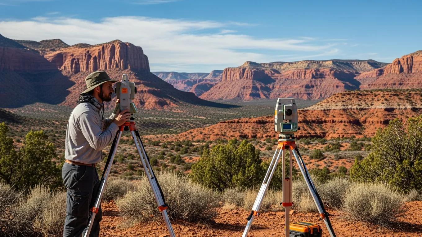
- Terrain Complexity: Difficult terrain, such as steep slopes or dense vegetation, can slow down the surveying process.
- Weather Conditions: Adverse weather can halt fieldwork, leading to delays in survey completion.
- Regulatory Approvals: Obtaining necessary permits and approvals can extend the timeline, especially for projects that require environmental assessments.
How Do Weather and Terrain Impact Survey Timeframes?
Weather and terrain are significant factors that can affect the duration of land surveys. Adverse weather conditions, such as rain, snow, or extreme heat, can halt fieldwork, causing delays. Additionally, difficult terrain, such as rocky or heavily wooded areas, requires more time and effort to navigate, which can also extend the survey timeline.
What Role Does Property Size and Access Play in Survey Scheduling?
The size of the property and its accessibility are crucial in determining how quickly a survey can be completed. Larger properties require more time to survey, as surveyors must cover more ground. Furthermore, if a property has limited access due to fences, gates, or other obstacles, this can delay the survey process. Ensuring clear access to the property can help facilitate a timely survey.
How Should You Prepare for a Land Survey to Ensure Timely Completion?
Proper preparation can significantly impact the efficiency of a land survey. Here are some essential steps property owners can take:
- Gather Necessary Documents: Collect any existing property deeds, previous surveys, and other relevant documents that may assist the surveyor.
- Ensure Clear Access: Make sure that the surveyor can access all areas of the property without obstruction.
- Communicate Specific Concerns: Discuss any specific issues or concerns with the surveyor before the survey begins.
What Are the Essential Preparation Steps Before Surveyor Arrival?
Before the surveyor arrives, property owners should take several steps to ensure a smooth process:
- Identify Boundaries: Mark the property boundaries as clearly as possible to assist the surveyor.
- Remove Obstacles: Clear any debris, vegetation, or other obstacles that may hinder the surveyor’s work.
- Discuss Concerns: Communicate any specific concerns or questions with the surveyor to ensure they are addressed during the survey.
How Does Scheduling and Property Access Affect Survey Timing?
Scheduling and access are critical components of the survey process. Clear access to the property is essential for timely completion, as any delays in accessing the site can push back the survey timeline. Additionally, scheduling the survey early and coordinating with the surveyor can help avoid potential conflicts and ensure that the survey is completed as planned.
What Are the Current Utah Land Survey Regulations and Permits Affecting Survey Duration?
In Utah, certain regulations and permits may be required for land surveys, which can affect the duration of the process. Property owners should be aware of any local regulations that may apply to their specific situation. For instance, some surveys may require environmental assessments or other approvals, which can extend the timeline.
How Much Does a Land Survey Cost in Utah and How Does It Relate to Survey Duration?
The cost of a land survey in Utah can vary based on several factors, including the type of survey, property size, and complexity. Generally, boundary surveys range from $300 to $1,000, while topographic surveys can cost between $500 and $2,000. The complexity of the project often correlates with both cost and time, as more intricate surveys require additional resources and time to complete.
What Are Typical Pricing Ranges for Different Survey Types?
Understanding the pricing for various survey types can help property owners budget accordingly. Here are some typical pricing ranges:
- Boundary Surveys: $300 to $1,000
- Topographic Surveys: $500 to $2,000
- Construction Staking Surveys: Pricing varies based on project scope and complexity.
These ranges provide a general guideline, but actual costs may vary based on specific circumstances.
How Does Project Complexity Affect Both Cost and Time?
The complexity of a land survey project can significantly impact both its cost and duration. Larger properties or those with complicated features may require more time and resources to survey accurately. Additionally, projects that involve multiple stakeholders or regulatory approvals can also lead to increased costs and extended timelines.
Where Can You Find Trusted Land Surveyors in Utah for Efficient Service?
Finding a reliable land surveyor is crucial for ensuring a smooth surveying process. Here are some tips for locating trusted professionals:
- Check for Licensure: Ensure that the surveyor is licensed and has the necessary qualifications.
- Look for Experience: Choose surveyors with a proven track record in the type of survey you need.
- Ask for References: Request references or reviews from previous clients to gauge the surveyor’s reliability and quality of work.
What Makes Ludlow Engineers a Reliable Choice for Utah Land Surveys?
Ludlow Engineers is a Utah-based firm specializing in land surveying and civil engineering services. Established in 1975, they have built a reputation for accuracy and timely delivery. Their local expertise and commitment to quality make them a reliable choice for property owners seeking efficient land survey services.
How to Schedule a Land Survey with Local Professionals?
Scheduling a land survey involves a few key steps:
- Find Licensed Surveyors: Research and identify licensed surveyors in your area.
- Inquire About Experience: Ask potential surveyors about their experience with similar projects.
- Request Quotes: Obtain quotes from multiple surveyors to compare pricing and services.
By following these steps, property owners can ensure they select a qualified surveyor who meets their needs.