
ALTA Land Survey Guide — Requirements, Costs, and Industry Standards
ALTA land surveys are a cornerstone of commercial real estate transactions — they give lenders, owners, and title companies the clear, documented picture they need. This guide breaks down what an ALTA survey is, why it matters, and which standards govern the work. You’ll find a practical walkthrough of the surveying process, typical costs and timelines, and why certification matters. With this context, property owners and real estate professionals can reduce risk and move deals forward with confidence.
Below we cover: what an ALTA survey is, the ALTA/NSPS standards, how a commercial land survey is performed, expected costs and schedules, the certification process, and common questions about ALTA surveys.
What Is an ALTA Land Survey and Why Is It Essential?
An ALTA land survey follows the protocols set by the American Land Title Association (ALTA) and the National Society of Professional Surveyors (NSPS). It produces a detailed, reliable record of a property’s boundaries, easements, improvements, and possible encroachments. For commercial deals, an ALTA survey helps all parties understand the legal and physical realities of a site before closing.
Defining an ALTA Land Survey and Its Purpose
ALTA surveys are tailored for commercial transactions and title insurance needs. They document property lines, built improvements, and recorded easements or encroachments that may affect ownership or use. The goal is simple: reveal issues early so buyers, sellers, and lenders can address them rather than discover surprises later.
How ALTA Surveys Support Commercial Property Transactions
In practice, an ALTA survey speeds due diligence and reduces deal risk. It flags boundary discrepancies, maps encroachments, and verifies access or utility easements — all items lenders and title companies rely on when issuing policies. Clear survey documentation builds transparency and helps transactions close more smoothly.
What Are the ALTA/NSPS Survey Standards and Compliance Requirements?

ALTA/NSPS standards define how surveys must be performed and reported to meet industry expectations. Following those standards is important not only for accuracy but also for the validity of title insurance and for protecting property rights. Knowing the standards helps surveyors and clients align on scope and deliverables.
Key ALTA/NSPS Standards for Accurate Land Surveying
The standards spell out procedures for boundary determination, monumentation, accuracy tolerances, and the format for reporting results. They require specific measurement practices and identification of physical markers so property lines are defensible and traceable. Adhering to these rules produces consistent, reliable surveys.
How Compliance Ensures Title Insurance Validity
Title companies often require surveys that conform to ALTA/NSPS standards before issuing policies. Compliance provides the documentation insurers need to assess risks related to boundaries, easements, and claims against the property. In short, a standards-compliant survey protects owners, lenders, and insurers alike.
Step-by-Step ALTA Land Survey Process for Commercial Real Estate

Commercial land surveys follow a deliberate sequence of tasks to ensure completeness and accuracy. Each stage builds on the last so the final deliverable reflects the property as it exists and as it is recorded.
Initial Site Assessment and Data Collection Techniques
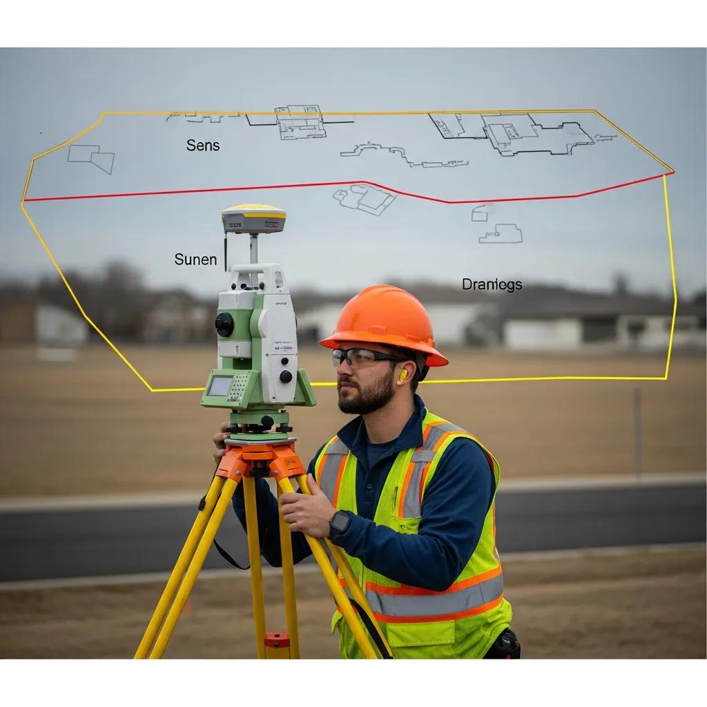
The survey begins with a site visit and records research. Surveyors gather deeds, plats, and title documents, then collect field data using GPS, total stations, and traditional measurement tools. Combining public records with precise field measurements creates a reliable map of the property.
Boundary Monumentation and Survey Accuracy Methods
After data collection, surveyors set or verify boundary monuments — physical markers that identify corners and control points. They apply accuracy checks like differential leveling and triangulation to validate measurements. Proper monumentation and verification make the survey usable for future reference.
What Are the Typical Costs and Timelines for ALTA Land Surveys?
Costs and schedules depend on property size, complexity, and local factors. Knowing the drivers behind price and time helps you plan budgets and closing timelines more realistically.
Factors Influencing Boundary Survey Cost and Duration
Several variables affect cost and turnaround: boundary survey costs and turnaround.
- Property Size : Larger parcels require more field time and mapping, which increases cost and schedule.
- Complexity of the Site : Sites with steep terrain, dense vegetation, or many structures take longer to survey and document.
- Local Regulations : Jurisdictional requirements and permitting can add steps that affect both price and delivery time.
2024 Industry Statistics on Commercial Survey Pricing and Timeframes
Current industry data show ALTA land surveys typically range from $2,000 to $4,000, depending on the factors above. Most ALTA surveys are completed in 2 to 6 weeks, though complex projects or heavy workloads can extend that window.
Use the table above to budget and set realistic timelines when planning a commercial transaction or development.
How Does Land Survey Certification Work and Why Is It Important?
Certification verifies that a qualified, licensed surveyor completed the work and that the survey meets applicable standards. Certified surveys carry legal weight and reduce uncertainty during transactions.
Role of Licensed Land Surveyors in ALTA Surveys
Licensed surveyors bring training, local knowledge, and professional responsibility to ALTA projects. They measure, interpret records, and produce certified drawings that lenders and title companies accept. Their stamp and signature mean the survey can be relied upon.
Certification Process and Its Impact on Property Transactions
Certification involves reviewing the survey for accuracy, completeness, and compliance with standards. A certified survey supports title insurance, clears questions in due diligence, and generally makes closings smoother by reducing ambiguity about the property.
What Are Common Questions About ALTA Land Surveys?
Below are common concerns clients raise about ALTA surveys. Clear answers help set expectations and guide next steps.
How Long Does an ALTA Survey Take?
Typical turnaround is 2 to 6 weeks, depending on parcel size, site complexity, permitting, and the surveyor’s current workload. Simple sites can be faster; complicated projects take longer.
Why Is an ALTA Survey Needed for Title Insurance?
Title insurers rely on ALTA surveys to identify risks that affect ownership and use — for example, boundary disputes, undisclosed easements, or encroachments. The survey’s documentation helps insurers evaluate and underwrite those risks.
To confirm accuracy and compliance, consider consulting with licensed land surveyors .
Frequently Asked Questions
What qualifications should I look for in a land surveyor for an ALTA survey?
Choose a licensed surveyor with proven ALTA/NSPS experience and strong local knowledge. Membership in professional bodies like ALTA or NSPS is useful, and client testimonials or case examples demonstrate the surveyor’s track record with comparable properties and jurisdictions.
Can I conduct my own ALTA land survey?
ALTA surveys require technical skill, specialized equipment, and adherence to strict standards. Because lenders and title companies expect certified work, hiring a licensed professional is the practical and legally sound choice.
What happens if an issue is found during an ALTA survey?
If the survey uncovers a boundary discrepancy, undocumented easement, or encroachment, the surveyor will document the finding and include it in the report. Parties typically use that information to negotiate resolutions, consult legal counsel, or adjust transaction terms before closing.
How often should I get an ALTA survey for my property?
Obtain an ALTA survey when ownership changes, when significant development occurs, or when lenders or title companies require it for refinancing or sale. Updating a survey after major site changes helps prevent surprises later.
Are there any risks associated with not having an ALTA survey?
Without a comprehensive ALTA survey you risk boundary disputes, undisclosed easements, and potential title claims. Those issues can delay closings, add legal costs, or reduce property value. A proper survey helps protect all parties in a transaction.
What is the difference between an ALTA survey and a boundary survey?
An ALTA survey is a more comprehensive, standards-driven deliverable tailored to commercial transactions and title insurance. A boundary survey focuses primarily on locating property lines. If you need title insurance or a full due diligence package, an ALTA survey is the appropriate choice.
Conclusion
ALTA land surveys provide the clarity commercial real estate deals require — accurate boundaries, documented easements, and a certified record that lenders and title companies trust. Working with a licensed surveyor who follows ALTA/NSPS standards reduces risk and keeps transactions on track. Contact our surveying team to learn how we can support your next commercial project.
