Size of the Mapping Area
Larger sites require more control, more measurements, more processing and a larger surface model.


Most Utah topographic surveys cost about $1,500–$4,500, but parcel size, terrain, vegetation, required detail and the collection method can move the price substantially. This guide explains what you are actually paying for—and when ground surveying, GNSS, drone photogrammetry or LiDAR makes sense.
For 2026 planning, a small residential topographic survey commonly runs about $1,500–$3,000. A combined boundary and topographic survey often falls around $2,000–$4,500. Larger residential acreage commonly starts around $2,500, while feature-dense commercial sites frequently run $3,000–$8,000 or more. Large open sites are quoted around the actual acreage, terrain and collection method.
These are useful planning ranges, not universal flat rates. Every Ludlow project is ultimately scoped around the actual site and required deliverables.
| Project Type | Typical Scope | Planning Range |
|---|---|---|
| Small residential lot | Contours, spot elevations, building and basic existing site features | $1,500–$3,000 |
| Boundary + topographic survey | Legal property limits plus elevations and existing conditions | $2,000–$4,500 |
| Residential acreage | Larger parcel with expanded terrain and feature collection | $2,500–$4,500+ |
| Small commercial site | Buildings, pavement, curbs, drainage, utilities and design surface | $3,000–$6,500+ |
| Large / feature-dense commercial | Extensive improvements, drainage and detailed design requirements | $5,000–$8,000+ |
| Large open acreage | Ground control plus GNSS, photogrammetry or other efficient surface collection | Quoted by scope |
| Steep / wooded / difficult terrain | More ground access, tighter field control or obstructed terrain | Quoted by scope |

A small residential lot may be collected efficiently with a total station and GNSS in a matter of hours. A 40-acre open development site may benefit from aerial surface collection. A heavily wooded parcel can reverse that equation because a camera cannot map terrain it cannot see.
Acreage matters, but it is only one variable. Terrain and the amount of information your design team needs can affect the fee just as much.
Larger sites require more control, more measurements, more processing and a larger surface model.
Steep hillsides, ravines, washes and sharp grade changes require enough measurements and break lines to represent the surface correctly.
Tree canopy and dense vegetation can limit aerial mapping and slow ground crews attempting to measure the true terrain.
A vacant field can be simpler than a one-acre commercial lot packed with curb, pavement, walls, utilities, buildings and drainage.
A detailed one-foot surface normally requires denser data than a broad five-foot planning surface.
Project control, benchmark requirements and coordination with an established engineering coordinate system can expand the field scope.
A PDF contour exhibit is different from a fully layered CAD file, surface model, break-line dataset or point-cloud deliverable.
Remote acreage, gated sites, active industrial properties and mountain access can increase mobilization and field time.
If legal property lines also need to be established, the project becomes a combined boundary and topographic survey rather than topo-only mapping.
Professional surveys frequently combine technologies. The question is not which tool is newest—it is which combination produces reliable data most efficiently on that particular site.
Measures angles and distances to collect precise individual points and break lines. Especially useful around buildings, curbs, walls, drainage structures and obstructed sites.
Satellite-based positioning is highly efficient for control and open-site topographic measurements where field conditions support reliable corrections and observations.
Overlapping aerial photographs are processed into an orthomosaic, point cloud and surface model. It performs best where the ground can be seen from above.
Laser-based ranging produces dense three-dimensional point data and can be valuable on large or geometrically complex mapping projects.
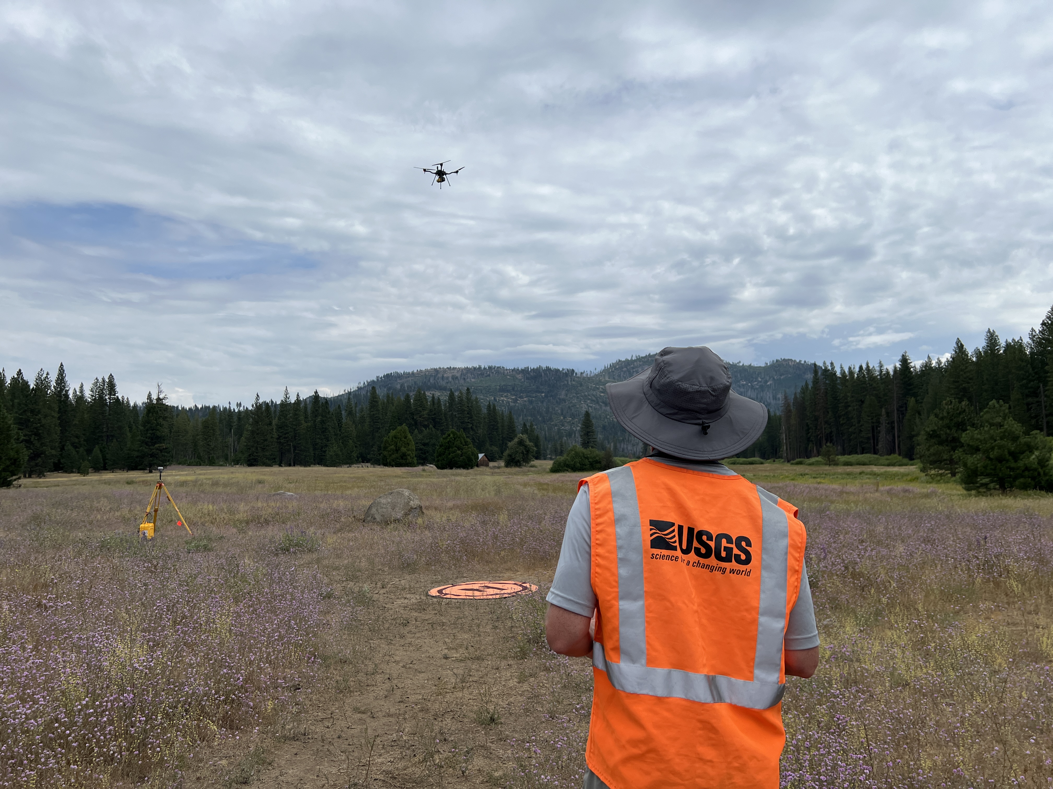
Large open areas can benefit from dense aerial data without requiring a surveyor to physically occupy every terrain point. Ground control and quality checks still matter.
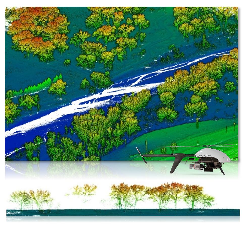
LiDAR can create large point datasets for terrain and surface modeling, but processing, control and professional interpretation remain part of the survey workflow.
There is no universal winner. The most efficient method changes with site size, visibility, required feature detail and the precision the design requires.
Total station and GNSS are often ideal for residential lots, small commercial properties, dense improvements, buildings, curbs, utilities and sites where the terrain is hidden by trees.
Drone photogrammetry can be efficient for large acreage, construction sites, stockpiles and terrain where extensive ground surface is visible from the air.
Many projects use aerial collection for broad surface coverage and conventional ground methods for control, obscured areas, critical features and quality checks.

LiDAR measures distance using laser pulses and produces dense three-dimensional point data. It can be useful for large sites, corridors, complex terrain and mapping applications where a dense 3D representation provides real value.
The additional sensor and processing capability only makes economic sense when the project benefits from it. A conventional ground survey can still be the better answer for a small lot or a limited number of precise design features.
Before comparing quotes, confirm that each proposal includes the same level of mapping and the same files your architect or engineer actually needs.
Contour lines depicting the shape and elevation change across the site at the agreed interval.
Measured elevations at important structures, pavement, curbs, walls, drainage features and grade changes.
Layered digital survey geometry for use in civil and architectural design software.
A readable plan showing contours, features, notes, benchmarks and the project survey information.
A digital representation of existing ground used for grading, earthwork, drainage and three-dimensional site design.
Horizontal and vertical references allow designers, survey crews and construction teams to work from the same framework.

USGS mapping guidance makes the same fundamental point: field surveys establish the horizontal and vertical control that provides the framework for mapped detail. Modern GNSS, photogrammetry and LiDAR change how efficiently measurements are collected, but they do not eliminate the need for control and quality assurance.
You do not need to specify the equipment. Tell the surveyor what you are designing, what the design team needs and the property conditions. The collection method can then be chosen around the result.
Usually the best combination when a residential designer needs property limits, one-foot or two-foot contours, driveway grades, building relationships and drainage information.
Often includes curb, pavement, buildings, drainage, visible utilities, access, walls and detailed elevation data for civil site design.
Aerial photogrammetry or LiDAR may reduce field time while still providing dense terrain data over the broader site.
Total station and GNSS measurements become more important where buildings or vegetation block a clear aerial view of the actual ground.
Focus measurements around structures, swales, flow paths, walls, adjacent grades and other features influencing runoff.
A scope from your engineer or architect is more useful than requesting a specific technology without knowing what the final drawing has to accomplish.
This page owns topographic-survey cost and technology intent. The pages below handle the actual service, overall survey pricing, UAV mapping and the engineering work that uses the topo.
Request the actual Utah topographic survey and review service scope, process and deliverables.
All survey pricesCompare topographic costs with boundary, ALTA, construction and aerial surveying.
Aerial technologyHow drone photogrammetry and aerial mapping fit into professional land surveying.
Property linesLegal property lines and corners for projects that need both boundary and topographic information.
Next stepUse the topographic base for building placement, grading, drainage and utilities.
EngineeringMove from measured existing conditions into engineered grading, drainage and land development.
ScheduleUnderstand typical timelines and what can delay fieldwork or final delivery.
Flood elevationsCertified building and ground elevations for applicable floodplain requirements.
Your propertySend the parcel, acreage, terrain and design requirements for a project-specific topo scope.
Common questions from Utah homeowners, architects, engineers, builders and developers comparing survey methods.
Many Utah topographic surveys cost about $1,500–$4,500. A small residential lot commonly runs $1,500–$3,000, while larger, commercial or terrain-heavy sites can cost $3,000–$8,000 or more.
A combined boundary and topographic survey commonly falls around $2,000–$4,500 for standard Utah residential projects. Larger or more complicated parcels can cost more.
It can be on large, open sites because dense surface data can be captured efficiently. On a small, wooded or feature-dense site, ground surveying may be more efficient.
Survey-grade GNSS determines positions using satellite observations and corrections, while a total station measures angles and distances between ground points. Professional topographic surveys commonly use both.
Photogrammetry derives measurable spatial information from overlapping photographs. In drone surveying, the images can be processed into orthomosaics, point clouds and terrain surfaces.
LiDAR uses laser ranging to generate dense three-dimensional point measurements. It can be valuable for large or complex mapping projects but is not necessary for every topographic survey.
No. A drone is a data-collection tool. Survey control, project requirements, quality assurance and professional review remain part of a professional topographic survey.
No. Aerial imagery does not independently determine legal property boundaries. If the project needs reliable property lines, include professional boundary surveying in the scope.
Your architect or engineer should normally define it. One-foot contours are common for detailed residential and grading work; two- or five-foot intervals can suit larger or less detailed mapping.
Dense vegetation can hide the actual ground from aerial imagery and slow crews working through the site, increasing the field effort needed to model the terrain reliably.
Most design projects benefit from DWG or DXF CAD files plus a PDF plan. Larger engineering projects may also require surface models, break lines or other digital terrain data.
Send the property address or parcel number, approximate acreage, what the survey will be used for, required contour interval if known, desired CAD deliverables and any engineer or architect survey requirements.
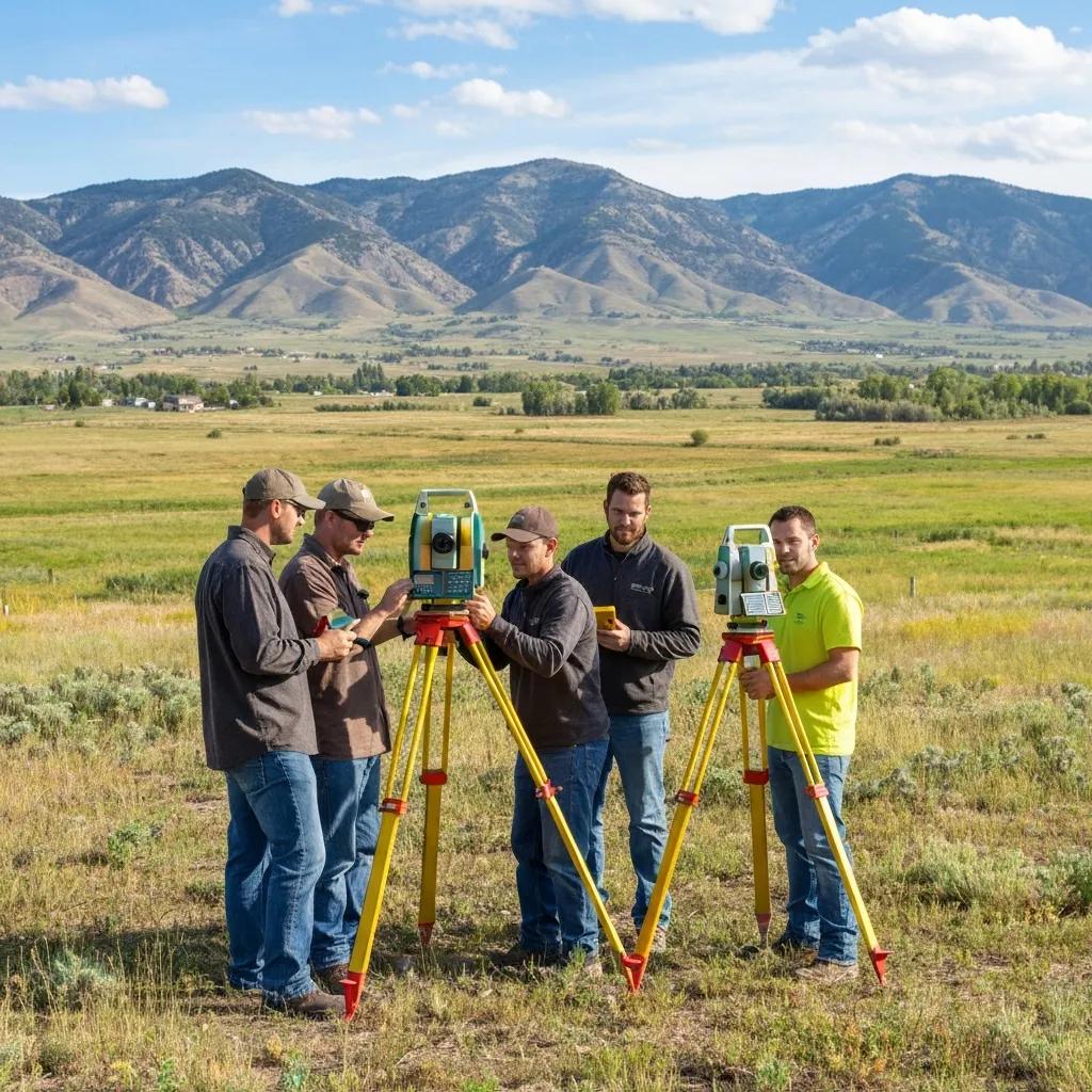
Send Ludlow Engineering the Utah property, approximate acreage, what is being designed and any survey requirements from your architect or engineer. We can choose the appropriate collection method and provide a fixed-fee topographic survey proposal.