Foundation Footprint
The as-built outline of the foundation, drawn to scale on the lot.

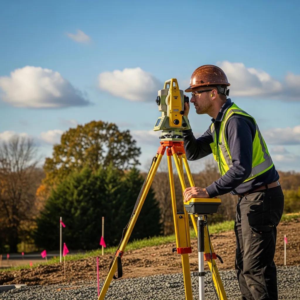
A foundation survey confirms that a new foundation was built in the right place and at the right height, before the framing goes up. Here’s what it shows, when Utah cities and lenders ask for one, how it differs from a FEMA elevation certificate, and how to schedule it.
A foundation survey (also called a foundation location survey, form survey, footing certificate or foundation elevation certificate) is a licensed surveyor’s measurement of a newly built foundation. It shows where the foundation sits on the lot, the distance from each corner to the nearest property lines, whether required setbacks are met, and the elevation of the top of the foundation compared to the approved plans or a benchmark. It is done after the footings or walls are in place and before framing starts.
The exact content depends on what your city, county or lender asked for, but a complete foundation survey usually includes these items.
The as-built outline of the foundation, drawn to scale on the lot.
Measured distances from foundation corners to the front, side and rear property lines.
The measured elevation compared to the approved plan, a benchmark, the curb or the street.
The lot lines the measurements are taken from, based on found or set corner monuments.
Recorded easements near the foundation, so you know nothing was built where it can’t be.
Signed and sealed by a Utah-licensed Professional Land Surveyor for the inspector or lender.

A foundation that’s a foot into a setback, or poured too low for the driveway or drainage, is an expensive problem once walls and a roof sit on it. The foundation survey is the checkpoint that catches it while the fix is still small.
Utah doesn’t have a single statewide rule. Each city, county and lender sets its own conditions, so always check your permit. These are the most common triggers we see.
Some cities require verification of foundation location or elevation before the framing inspection, especially on tight lots.
Payson’s lot-of-record checklist asks for an accurate survey so property corners are staked before the footing inspection.
Midway City’s elevation certificate, completed by a licensed surveyor or civil engineer, records the foundation elevation and building height on sloped lots.
Construction lenders often want proof the foundation sits within the lot and setbacks before releasing the next draw.
Some subdivisions and HOAs require foundation location and height checks to protect neighbors and drainage.
Even when nobody requires it, builders on tight lots order one to avoid tear-out and disputes.
The foundation survey is only as good as the property lines it’s measured from. That’s why it works best as part of a sequence: confirm the boundary, stake the footprint, then survey what was built.
Call us when the forms go in so the crew can come soon after the pour, before framing materials arrive. Waiting until the walls are up makes measurements harder and corrections much more expensive.
These three names sound alike but answer different questions for different people. Most confusion comes from the word “elevation.”
| Document | Question it answers | Who asks for it | Prepared by |
|---|---|---|---|
| Foundation survey / foundation elevation certificate | Is the new foundation in the right place and at the right height? | Building department, construction lender, builder, HOA | Licensed land surveyor |
| FEMA Elevation Certificate | How high is the building compared to the flood elevation? | Flood insurer, lender, floodplain administrator | Licensed surveyor or engineer, on FEMA’s form |
| FHA / HUD foundation report | Is a manufactured home on a permanent foundation that meets HUD’s guide? | FHA, VA, USDA and other lenders | Licensed professional engineer or architect |
On the stamped drawing, each foundation corner is tied to the nearest property line, and the top of foundation (T.O.F.) is labeled with its measured elevation. The inspector compares those numbers to the setbacks and heights on your approved plans.
Most foundation surveys are quoted as a fixed fee in writing, and the total is lower when the boundary and staking were done by the same firm, because the corners and control are already in place.
| Situation | What drives the fee | How we price it |
|---|---|---|
| We did the boundary & staking | Control and corners already set; quick return visit | Lowest; often bundled |
| Recent recorded survey exists | Corners need to be verified before measuring | Fixed fee quote |
| No reliable corners | Boundary has to be established first | Boundary from $1,025+ |
| Elevation certificate needed | Benchmark tie and height measurements | Fixed fee quote |
| Rural or remote site | Travel from Nephi, shown as its own line item | Travel itemized |
These are the issues we see most often. Each is far cheaper to fix at the foundation stage than after framing.
A corner sits inside the required setback because the forms were set from a fence, not a surveyed line.
Water drains toward the house or the garage won’t meet the driveway grade.
The finished building may exceed a height limit, as Midway’s certification checks on sloped lots.
The building is rotated off the plan, pinching one setback while widening another.
Part of the foundation lands in a recorded utility or drainage easement.
No one confirmed the boundary, so every measurement is from the wrong place.
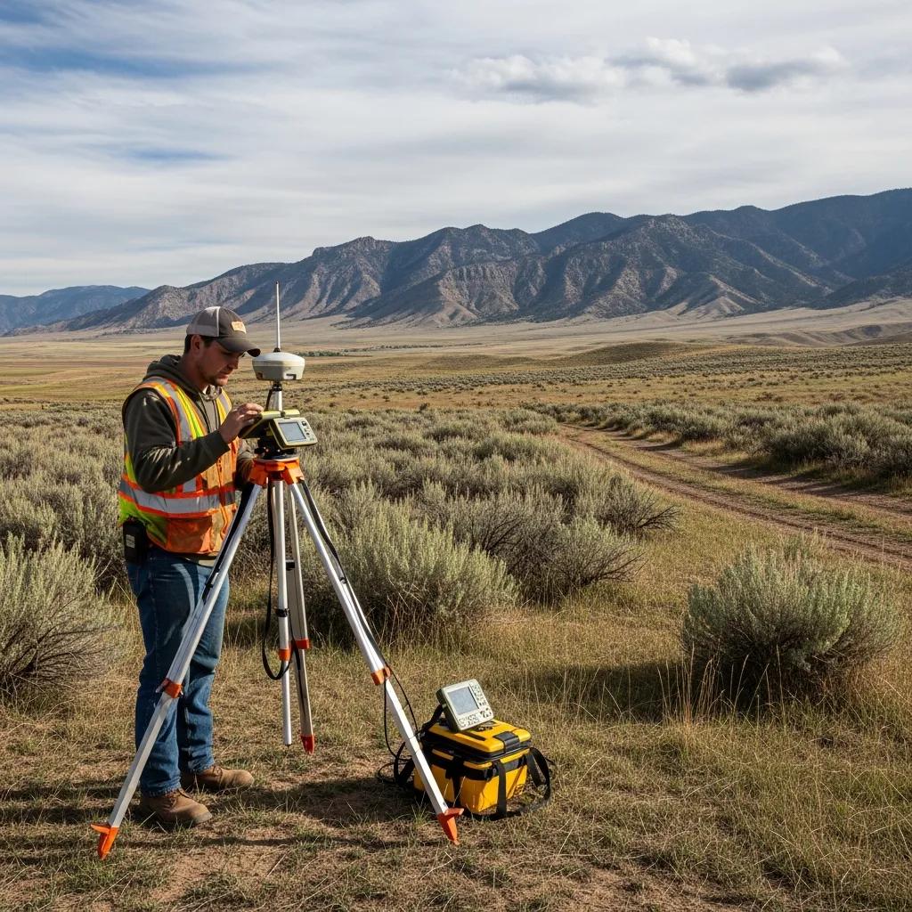
On farm ground and older parcels, corners are often missing. On those sites we establish the boundary first, then stake and certify the foundation, so every number on the certificate is measured from the real line.
The more notice we have, the easier it is to get the crew there right after the pour.
Address, permit conditions, approved plans and target pour date.
We confirm the scope and quote, including any boundary work needed.
We stake the footprint and benchmark before excavation.
After the pour, we measure location and top-of-foundation elevation.
Stamped drawing or letter delivered for the inspector or lender.
From our Nephi office we survey foundations in these communities and everywhere between. Travel outside our core counties is shown as a line item in the quote.
Alpine, Benjamin, Cedar Valley, Elberta, Fairfield, Goshen, Highland, Lehi, Lindon, Mapleton, Payson, Pleasant Grove, Provo Canyon, Salem, Santaquin, Saratoga Springs, Spanish Fork, Springville, Sundance, Thistle, Vineyard, Woodland Hills
Nephi, Mona, Levan, Rocky Ridge, Mammoth
Axtell, Centerfield, Chester, Ephraim, Fairview, Fayette, Fountain Green, Gunnison, Indianola, Manti, Mayfield, Moroni, Sterling
Abraham, Delta, Deseret, Fillmore, Holden, Kanosh, Leamington, Lynndyl, Meadow, Oasis, Scipio, Sugarville, Sutherland
Castle Dale, Elmo, Emery, Ferron, Huntington, Orangeville
Price, Helper, Wellington, East Carbon, Kenilworth, Scofield
A foundation survey is one step in getting a building approved. These pages cover the steps before and around it.
Establish the lot lines every measurement depends on.
Before you digMark the footprint and benchmark for the excavator.
For the permitHouse, setbacks, grading and drainage on one sheet.
For designExisting elevations for grading and foundation design.
Flood zonesBuilding elevation compared to the flood elevation.
Manufactured homesEngineer reports for manufactured-home loans.
Common questions from Utah homeowners, builders and lenders.
A licensed surveyor’s measurement of a newly built foundation showing its location on the lot, distances to property lines, setbacks and top-of-foundation elevation, done before framing.
A stamped record of the foundation’s measured elevation, often compared to the approved plans or a benchmark. It’s different from a FEMA flood Elevation Certificate.
After the footings or foundation walls are placed and before framing starts, so any problem can be corrected while it’s still small.
There’s no single statewide rule. Requirements come from each city, county, lender or HOA, so check your permit conditions. We’ll confirm what’s needed if you send them.
A Utah-licensed Professional Land Surveyor. Some city elevation certifications also accept a licensed civil engineer.
Usually, yes. Setback distances are only meaningful if they’re measured from surveyed property lines, not fences or assumed corners.
It’s quoted as a fixed fee and is lowest when we also did the boundary and staking. If the boundary has to be established first, boundary surveys start around $1,025.
No. FHA and other lenders require a licensed engineer’s report on manufactured-home permanent foundations. That’s a separate service we also provide.
Call when the forms are set. With notice, we can usually schedule the measurement soon after the pour so framing isn’t delayed.
More than 60 communities across Utah, Juab, Sanpete, Millard, Emery and Carbon counties, from our office in Nephi.

Send the address, permit conditions and target pour date. We’ll confirm the scope and a fixed fee, and plan the visit so framing isn’t held up.