Boundary Surveys
Find and mark your legal corners before a fence, addition, sale or dispute. Stamped and filed with the county.
Boundary Surveys →
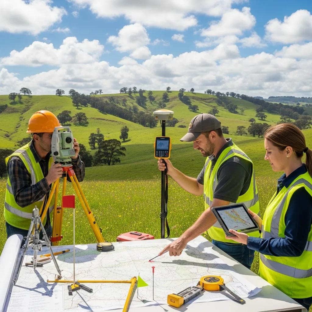
Licensed surveyors and civil engineers under one roof, covering every step of a Utah project from the first boundary corner to the final construction stake. Find the service you need below, or call and we'll point you to it.
Start with what you're trying to do, not the name of the survey. Knowing where your lines are calls for a boundary survey. A lender or title company usually wants an ALTA survey. Designing a home, driveway or drainage needs topography. Getting a building permit usually means a site plan, then construction staking and a foundation survey once the concrete is in. Splitting or reshaping land calls for a lot-line adjustment or a subdivision plat. The table below matches the most common goals to the right service.
Find your situation on the left. The service in the middle is what most Utah cities, lenders and title companies will ask for.
| If you need to… | Order this | Usually requested by |
|---|---|---|
| Build a fence or settle a line dispute | Boundary survey | You, your neighbor, the city |
| Buy, sell or refinance commercial property | ALTA / NSPS survey | Lender, title company, buyer |
| Design a home, driveway or drainage | Topographic survey | Architect, engineer, builder |
| Get a building permit | Site plan | City or county building department |
| Start construction | Construction staking | Contractor, excavator |
| Pass the foundation inspection | Foundation survey | Building inspector, lender |
| Lower flood insurance or build in a flood zone | Elevation certificate | Insurer, floodplain administrator |
| Split, combine or reshape lots | Lot-line adjustment or subdivision plat | Planning & zoning |
| Finance a manufactured home | FHA foundation inspection | FHA, VA or conventional lender |
Every survey is signed and sealed by a Utah Professional Land Surveyor. For an overview of all survey types, see our land surveys guide.
Find and mark your legal corners before a fence, addition, sale or dispute. Stamped and filed with the county.
Boundary Surveys →Title-grade surveys for commercial purchases, refinances and development financing, with the Table A items your lender asks for.
ALTA Surveys →Contours, elevations and site features for grading, drainage, driveways and engineering design.
Topographic Surveys →Stakes for footings, utilities, curb and grade so contractors build exactly what the plans show.
Construction Staking →Confirms a new foundation's location against setbacks and its elevation before framing begins.
Foundation Surveys →FEMA elevation certificates for flood insurance, Letters of Map Amendment and floodplain building permits.
Elevation Certificates →Records what was actually built (structures, utilities and grades) for city sign-off and final inspections.
As-Built Surveys →Survey and new legal descriptions to move a shared line between neighbors or clean up an old encroachment.
Lot-Line Adjustments →Aerial mapping for large parcels, stockpiles, construction progress and terrain that's slow or unsafe on foot.
Drone Surveying →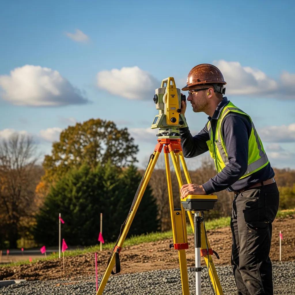
When the same firm surveys and engineers your project, the topography goes straight into the grading plan and the boundary straight into the site plan. There's no re-measuring, no file conversions between companies, and one point of contact when the city sends comments.
Stamped plans by Utah-licensed Professional Engineers, prepared to the requirements of the city or county reviewing them.
Grading, drainage, utilities and stormwater design for residential, commercial and public projects.
Civil Engineering →Stamped residential and commercial site plans showing grading, utilities and access, built to your city's checklist.
Site Plans →Lot layout, roads, utilities and the recorded plat, from concept through city approval.
Subdivision Design →Condo plats that define units, common areas and limited common areas for recording and sale.
Condominium Platting →Custom floor plans, elevations and construction drawings for homeowners and builders.
House Plan Drafting →Engineer foundation certifications for FHA, VA and conventional manufactured-home loans.
Foundation Inspections →Starting prices for typical residential and small commercial jobs. Size, terrain, records and travel set the final number, and every job gets a fixed-fee quote in writing first.
| Service | Starting At | Typical Turnaround |
|---|---|---|
| Boundary survey | $1,025 | 1–3 weeks |
| Topographic survey | $1,500 | 1–3 weeks |
| ALTA / NSPS survey | $3,000 | 3–6 weeks |
| Site plan | $2,500 | 3–8 weeks |
| House plan drafting | $1,800 | 3–6 weeks |
| FHA foundation inspection | $400 | 1–2 weeks |
| Staking, foundation, elevation & as-built surveys | Quoted by scope | Scheduled to your build |
| Subdivision & condominium plats | Quoted by scope | Set by the approval process |
Most projects need more than one service. These are the combinations we quote most often, all under a single contract.
Boundary + topography, site plan, construction staking, then a foundation survey for the inspector.
ALTA/NSPS survey with the Table A items your lender needs, plus a flood determination if it's near a floodplain.
Boundary survey of the parent parcel, then a lot-line adjustment or minor subdivision with new legal descriptions.
Boundary and topo, subdivision design, civil plans, the recorded plat, and staking for roads and utilities.
Elevation certificate before and after construction, with a topographic survey for the site design.
Boundary or site plan for the permit, then an engineer's FHA foundation certification for the loan.

Most Utah projects bounce between a survey company and a separate engineering firm. Keeping both in-house changes the project in a few practical ways.
A single boundary survey and a full subdivision follow the same five steps.
Address or parcel number, your goal and any deadline.
Usually within one business day, with scope in writing.
Records pulled, then our crew measures the site.
Maps and plans prepared; you review at key milestones.
Sealed and filed, with support through permits and construction.
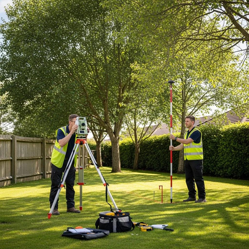
A fence-line survey gets the same licensed surveyor and the same attention as a 200-lot subdivision.
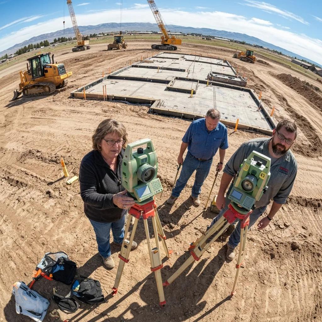
Survey, design, platting and staking from one firm that knows your project from day one.
Our office is at 1451 S. Main in Nephi, in the middle of the state, so crews reach the Wasatch Front, central Utah and Castle Country in a day. Each area below has its own page with local conditions, records and pricing notes.
Don't see your area? Call us. We travel for the right project and show travel as its own line item on the quote.
Answers to the questions we hear most before a project starts.
Typical ranges by survey type and what changes the price.
GuideWhat the surveyor does and what you get at the end.
CommercialWhat lenders expect and how Table A items affect price.
EasementsAccess, utility and ditch easements and how they're surveyed.
HomesWhen Utah cities require an engineer's stamp on plans.
Our firmFamily-run surveying and engineering in Utah since 1975.
Quick answers about choosing, pricing and scheduling a service.
Use the quick guide on this page. Property lines and fences need a boundary survey; lenders and title companies usually ask for an ALTA survey; design work needs a topographic survey; building permits need a site plan, then staking and often a foundation survey. If you're unsure, call (435) 623-0897 and we'll tell you what you need, and what you don't.
Boundary surveys start at $1,025, topographic surveys at $1,500, ALTA surveys at $3,000, site plans at $2,500, house plans at $1,800 and FHA foundation inspections at $400. Every job gets a fixed-fee quote in writing before work begins. See the survey cost guide for typical ranges.
Yes, and most clients do. Because our surveyors and engineers work under one roof, bundling typically saves 10 to 25 percent on the total project and removes the handoff between firms. A common bundle is boundary plus topography, site plan, construction staking and a foundation survey.
Most quotes go out within one business day. Once the contract and deposit are in, fieldwork usually starts within 5 to 10 business days, and smaller residential jobs often start the same week.
Yes. Deliverables are signed and sealed by Utah-licensed Professional Engineers (PE) and Professional Land Surveyors (PLS), as required by the Utah Division of Professional Licensing.
Both. A homeowner who needs a fence-line survey gets the same care as a developer with a 200-lot subdivision. We've worked that way since 1975.
Our office is in Nephi, and our crews work across Juab, Utah, Sanpete, Millard, Sevier, Salt Lake, Wasatch, Carbon and Emery counties, with projects farther out by request.
The property address or parcel number, what you're trying to do (build, sell, split, finance, fence) and any permit, closing or construction date. Plans, a title commitment or a lender checklist help if you have them.

Call (435) 623-0897 and tell us about your project. We'll point you to the right service, or combination, and send a fixed-fee quote within one business day.