Nephi
Our home office. Townsite lots, new subdivisions, farm ground and civil engineering.
Nephi Surveying →
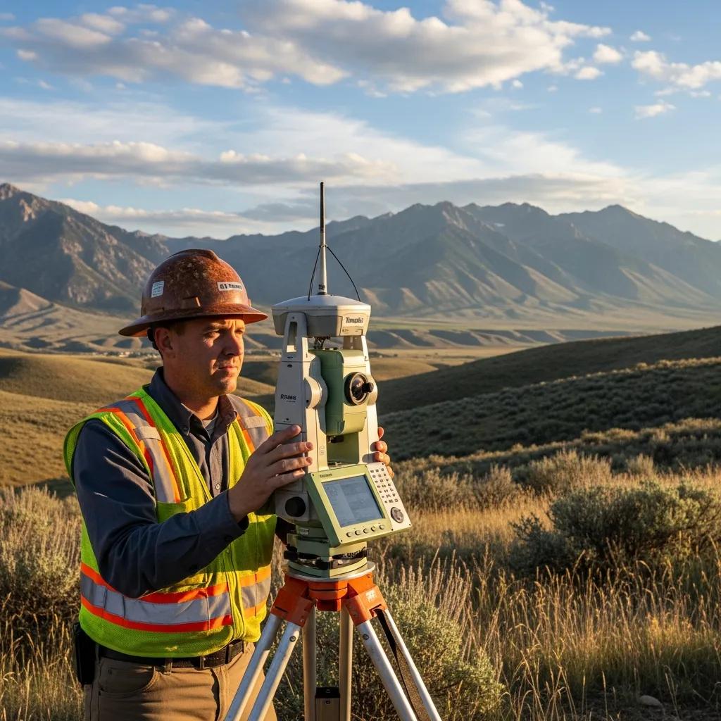
Boundary, foundation, topographic, subdivision and mining-claim surveys across Juab County, from the I-15 towns below Mount Nebo to the Tintic mining district and the west desert.
Juab County surveys fall into three areas. The I-15 towns (Nephi, Mona, Levan and Rocky Ridge) need boundary, foundation and lot-split surveys for homes and growing subdivisions. The Tintic district around Eureka and Mammoth adds patented mining claims and old mining-town lots. The west desert has large, remote parcels tied to original section corners and often bordered by federal land.
Each town page covers local conditions, records and pricing in more detail.
Our home office. Townsite lots, new subdivisions, farm ground and civil engineering.
Nephi Surveying →Fast-growing town with new homes on former farm ground below Mount Nebo.
Mona Surveying →Rural lots, farm parcels and new homes along SR-28 and I-15.
Levan Surveying →Hillside residential lots where topography and foundation elevations matter.
Rocky Ridge Surveying →Historic mining-town lots and patented mining claims.
Eureka Surveying →Remote ranch and desert parcels across the western half of the county.
Ask About Your Parcel →Stamped by a Utah PLS, with our civil engineers in the same Nephi office.
Corners found or set, fences and buildings located, and the survey filed with the county.
Boundary Surveys →Foundation location and elevation confirmed before framing in Mona, Levan, Rocky Ridge and Nephi.
Foundation Surveys →Contours and features for hillside lots, drainage and site design.
Topographic Surveys →Parcel splits, lot-line adjustments and subdivision plats for county and city approval.
Subdivision Design →Title-grade surveys for commercial and industrial property along the interstate.
ALTA Surveys →Engineer foundation certifications for manufactured-home loans.
Foundation Inspections →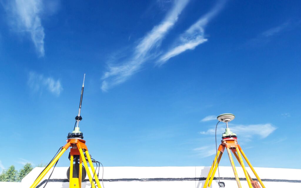
Rural Juab County parcels tie back to the public land survey’s section corners. Over nearly fifty years, our crews have recovered and re-monumented many of them, which often shortens the search on your survey.
Conditions that most often affect scope, schedule and price across the county.
Nephi, Mona and Levan were laid out as pioneer townsites, and older lots trace back to those plats.
Fields near Mona and Nephi are being split for new homes and subdivisions.
Eureka and Mammoth parcels can be described by mineral survey numbers, not standard sections.
Large desert and ranch parcels with distant corners and federal land neighbors.
Sloped lots east of I-15 need topography for drainage and foundations.
Irrigation canals and ditches bring easements to many farm and town parcels.

New homes are going up throughout Juab County. Because our crews start from Nephi, we can usually get to your site soon after the pour, so framing isn’t held up waiting for a surveyor.
Deeds, recorded plats and prior surveys are held at the Juab County offices, 160 North Main in Nephi. Every boundary survey we finish is filed with the county within 90 days, as Utah Code § 17-73-504 requires.
Your deed, adjoining deeds and the townsite or subdivision plat.
Earlier filed surveys and section corner records, including our own.
Pins, stones, fences and occupation measured and compared.
Stamped map delivered to you and filed with Juab County.
Travel is minimal for most of the county since we’re based in Nephi. Remote west desert work is quoted with travel shown separately. Every quote is a fixed fee.
| Survey Type | Typical Range | Typical Juab County Situation |
|---|---|---|
| Platted lot boundary | $1,025–$1,800 | Subdivision lot in Nephi, Mona or Levan |
| Older town lot | $1,800–$2,500+ | Original townsite block, old deeds |
| Farm or acreage parcel | $2,500–$6,000+ | Section-line farm ground |
| Boundary + topography | $2,000–$4,500 | Hillside home in Rocky Ridge or the benches |
| Mining claim or west desert | Quoted by scope | Tintic claims, remote ranch parcels |
| Foundation survey | Quoted by scope | Lowest when bundled with staking |
Five steps from your call to the filed map.
Parcel number, your plan and any deadline.
Scope and price in writing.
Deeds, plats and prior surveys pulled in Nephi.
Corners searched, measured and set.
Stamped map to you, filed with Juab County.
Nephi sits in the middle of the state, so the same crews that cover Juab County also work the neighboring counties. Our civil engineers handle site plans, subdivisions and utilities from the same office.
Guides and services that go deeper than this page.
Our Nephi office, team and civil engineering.
GuideWhat the surveyor does and what you get.
BuildingWhat the inspector checks after the pour.
Land divisionMoving a shared line between two parcels.
All surveysCompare survey types and starting prices.
Your propertySend the parcel number and your plan.
Questions we hear most from Juab County property owners.
Our office is at 1451 S. Main in Nephi, the Juab County seat. We’ve surveyed Juab County since 1975, and crews are dispatched from Nephi to every town in the county.
Boundary surveys on platted lots in Nephi, Mona and Levan typically run $1,025–$1,800. Older town lots and farm parcels usually run $1,800–$6,000 or more, and remote west desert or mining-district parcels are quoted by scope. Every quote is a fixed fee.
Yes. We confirm new foundation locations and elevations before framing throughout Juab County, and because we’re based in Nephi, we can usually schedule them quickly around your pour.
Deeds, recorded plats and prior surveys are held at the Juab County offices at 160 North Main in Nephi, a few blocks from our office.
Yes. Patented mining claims in the Tintic district are described by mineral survey numbers rather than standard lots or sections, and retracing them takes specific research. We handle claim boundaries, splits and sales.
Yes. West desert parcels often adjoin federal land and rely on original section corners that may be far apart or hard to reach, so we plan the research and travel up front and quote a fixed fee.
Yes. Utah Code Section 17-73-504 requires the surveyor to file a map of a boundary survey with the county within 90 days of establishing or re-establishing a boundary.
Yes. Our civil engineers in Nephi design site plans, subdivisions, grading, drainage and water and sewer systems across Juab County. See our Nephi page for details.

Send the address or parcel number and what you’re planning. We’ll confirm the right survey and send a fixed fee before any fieldwork.