

Land Surveyor Utah County, UT
Boundary, topographic, ALTA/NSPS, subdivision and construction surveying throughout Utah County—from Lehi and American Fork through Provo, Orem and Springville to Spanish Fork, Payson and Santaquin.
Need a Land Surveyor in Utah County?
Ludlow Engineering provides professional land surveying throughout Utah County for homeowners, buyers, builders, lenders, attorneys and developers. Common projects include residential boundary surveys, topographic surveys for new construction, ALTA/NSPS surveys for commercial transactions, lot splits and subdivisions, construction staking and survey work that feeds directly into civil engineering.
Land Surveying Services in Utah County
Different projects require different surveys. The fastest way to start is to tell us what decision the finished survey needs to support.
Boundary Surveys
Locate or retrace legal property corners and boundary lines for fences, additions, purchases, encroachments and property questions.
Boundary Survey Service →ALTA / NSPS Surveys
Commercial land-title surveys for lenders, title companies, buyers, attorneys and developers under the current ALTA/NSPS standard.
Utah County ALTA Surveys →Topographic Surveys
Map elevations, contours, structures, drainage and existing features for architects, engineers, builders and site designers.
Topographic Surveys →Subdivision & Platting
Surveying, layout, plat preparation and engineering coordination for lot splits, subdivisions and parcel-development projects.
Subdivision & Platting →Construction Staking
Transfer approved building, roadway, utility and grading information from engineered plans to accurate field locations.
Construction Staking →UAV / Drone Surveying
Survey-controlled aerial mapping for topography, site documentation, large parcels and selected construction or development applications.
Drone Surveying →
A Fence Line and a Legal Boundary Are Not Always the Same Thing.
Older neighborhoods, missing corner monuments, previous lot-line changes and improvements built near a presumed property line can create uncertainty. A professional boundary survey combines the recorded property description with monument evidence, adjoining records and precise field measurements before establishing the boundary on the ground.
Land Surveyors Across Utah County
This page is the county hub. The city pages below provide more specific information for communities where Ludlow has dedicated local survey pages.
Provo
Residential, commercial, ALTA, boundary, topographic and development surveying in Provo.
North Utah CountyLehi
Surveying for residential growth, commercial development, Silicon Slopes transactions and construction.
South Utah ValleySpanish Fork
Boundary, topographic and development surveying for valley-floor and foothill properties.
South Utah CountyPayson
Property surveys, development mapping and site-related surveying for homes, acreage and construction.
South countySantaquin
Boundary and property surveys for residential lots, acreage, development and building projects.
North benchAlpine
Property-line and site surveying for hillside and established residential properties.
Also serving Orem, Springville, Mapleton, American Fork, Pleasant Grove, Lindon, Vineyard, Highland, Cedar Hills, Saratoga Springs, Eagle Mountain, Salem, Elk Ridge, Woodland Hills, Goshen, Genola and surrounding Utah County communities.
Utah County Is More Than One Type of Property.
Survey conditions change from older platted neighborhoods in Provo and Orem to rapid development in Lehi, Saratoga Springs and Eagle Mountain, then again to larger parcels and sloped foothill properties in south and east Utah County. Records, access, terrain, improvements and the purpose of the survey all affect the correct field approach.
What Changes From Lehi to Payson?
A surveyor is solving a property-specific problem, not simply collecting coordinates. Utah County’s different development patterns and terrain create different survey considerations.
Lehi, American Fork & Pleasant Grove
Commercial growth, subdivisions, multifamily sites and redevelopment create demand for ALTA surveys, construction staking, subdivision work and design-ready topographic mapping.
Provo, Orem & Springville
Established subdivisions, older property descriptions, infill development and improvements close to property lines make record research and boundary retracement especially important.
Saratoga Springs & Eagle Mountain
Large areas of new construction and subdivision development frequently require boundary control, platting, topography, construction staking and ongoing site engineering.
Spanish Fork, Payson & Santaquin
Residential growth mixes with acreage, agricultural remnants and foothill terrain. Boundary and topographic survey needs often overlap when property is being prepared for construction.
Alpine, Highland & Foothill Lots
Slope makes elevation information important. New homes, additions, grading and drainage work commonly need both boundary control and detailed topographic data.
Low-Lying & Drainage-Sensitive Sites
Properties near lower valley elevations may require careful evaluation of grade, drainage and flood-related requirements, depending on the specific parcel and project.
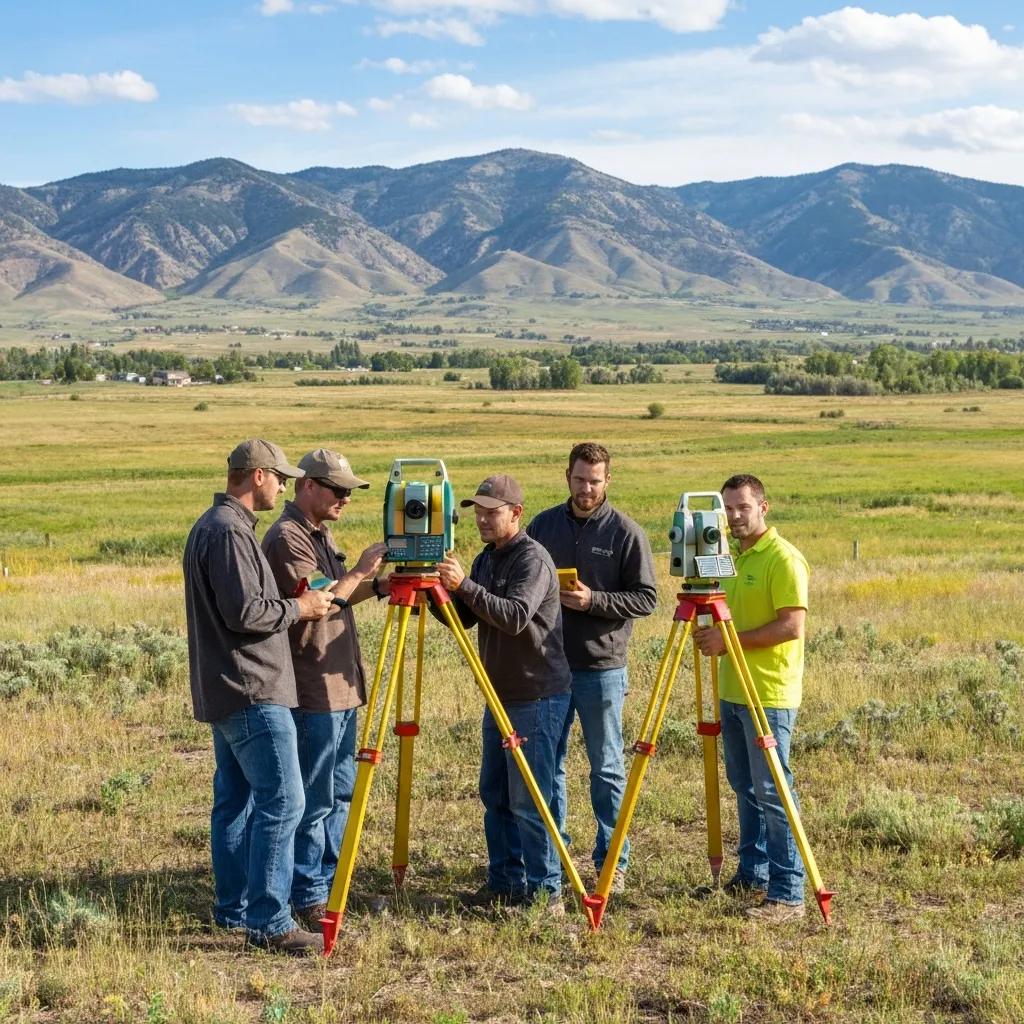
Surveyors and Engineers Under One Roof
Boundary work, topographic data, subdivision mapping and the engineering that follows can remain coordinated within one firm.

The Equipment Measures. The Surveyor Resolves.
GNSS and robotic total stations provide precise measurements, but professional boundary work still depends on records, monuments, evidence and licensed survey judgment.
Utah County Surveyor vs. a Private Land Surveyor
If you searched for “Utah County Surveyor,” you may actually be looking for the county office, a filed Record of Survey, subdivision plat, corner record or Public Land Survey System information.
The county office is an important records resource, but it does not come to privately owned property and establish your personal boundary for you. Private property surveys are performed by privately practicing Professional Land Surveyors licensed in Utah.
Which One Do You Need?
Start with the Utah County Surveyor’s maps and records.
Use Utah County Recorder land-record resources.
Hire a Utah-licensed private Professional Land Surveyor.
Send Ludlow the parcel and project purpose for a scoped quote.
How a Utah County Land Survey Works
The exact work varies by survey type, but most projects move through the same five stages.
Send the Parcel
Provide the property address or parcel number, what you are trying to accomplish and any deadline.
Records Research
Review deeds, plats, filed surveys, adjoining records and other information relevant to the specific survey.
Field Survey
Locate the necessary monuments, improvements, elevations or features using professional survey equipment.
Analysis & Drafting
Reconcile the record and field information and prepare the appropriate survey map, plat or design base.
Professional Delivery
A licensed Professional Land Surveyor reviews and signs the professional survey deliverable when required.
Land Survey Cost in Utah County
Price depends on the survey type, parcel size, available records, monument condition, terrain, improvements, access and requested deliverables. Ludlow defines the fee before fieldwork begins.
| Survey Type | Typical Utah County Planning Range | Common Use |
|---|---|---|
| Residential boundary survey | $1,200–$2,800 | Property corners, fences, purchases, additions and boundary questions |
| Boundary + topographic site survey | $2,000–$4,500 | New homes, additions and design projects needing both lines and elevations |
| Topographic survey | From $1,800 | Site plans, architecture, grading, drainage and engineering design |
| ALTA/NSPS commercial survey | $3,000–$9,500 | Commercial acquisition, financing and title due diligence |
| Subdivision / lot split | Quoted by scope | Creating or reconfiguring parcels and preparing plats for review |

What Should You Send a Surveyor?
You do not need to assemble a complete title package before contacting Ludlow. The property and the reason for the survey are enough to begin.
This identifies the property and lets research begin.
Fence, buy, build, divide, finance, resolve a line or something else.
Useful when there are easements, title questions or unusual descriptions.
Especially useful for older properties and subdivision lots.
Tell us about closing, permitting or construction dates when requesting the quote.
The Survey Often Becomes the Base for What Comes Next.
For construction and land-development projects, the survey is frequently the first professional deliverable rather than the last.
Topography → Site Plan
Measured elevations and existing conditions can become the base for grading, drainage, access and utility design.
Site Planning & Design →Boundary → Subdivision
The existing boundary must be understood before new lots, easements or parcel lines can be created and platted.
Subdivision Design →Engineering → Staking
Once plans are approved, construction staking transfers the engineered design to precise positions and elevations on the ground.
Construction Staking →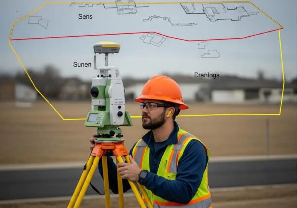
Buying or Financing Commercial Property?
A residential boundary survey and an ALTA/NSPS Land Title Survey answer different questions. Utah County commercial buyers, lenders and title companies commonly use ALTA surveys to coordinate boundaries, improvements, easements and selected Table A requirements during transaction due diligence.
Surveying Resources for Your Next Step
This page owns the broad Utah County land-surveyor intent. The pages below answer specific service, cost, records and planning questions without competing with this county hub.
Land Survey Services
Compare Ludlow’s full range of Utah boundary, ALTA, topo, drone and construction survey services.
County records guideUtah County Surveyor Office
Learn where to find records, plats and survey maps and when you need a private licensed surveyor instead.
Property linesBoundary Surveys
Property corners, boundary evidence, monuments, survey maps and residential property-line work.
Commercial propertyUtah County ALTA Surveys
ALTA/NSPS surveys for commercial purchases, lenders, title insurers and development transactions.
Site designTopographic Surveys
Elevation, contour and existing-condition data for architecture, grading, drainage and civil design.
BudgetLand Survey Cost Guide
Understand how survey type, acreage, records, terrain and complexity affect Utah survey pricing.
ScheduleSurvey Turnaround Times
Plan around closings, permits and construction deadlines by understanding what controls the survey schedule.
DevelopmentSite Planning & Design
Take accurate survey information into grading, drainage, utilities, access and site-development planning.
EngineeringCivil Engineering
Surveying and engineering coordination for subdivisions, commercial sites and residential development projects.
Utah County Land Survey FAQ
Common questions from Utah County property owners, buyers, builders and development teams.
How much does a land survey cost in Utah County?
Ludlow’s current planning range for a typical residential boundary survey in Utah County is about $1,200–$2,800. Boundary-plus-topographic site surveys commonly run $2,000–$4,500, while ALTA and subdivision work depends on the commercial or development scope.
Does Ludlow serve all of Utah County?
Yes. Ludlow works throughout Utah County, including Lehi, American Fork, Provo, Orem, Springville, Spanish Fork, Payson, Santaquin, Saratoga Springs, Eagle Mountain and surrounding communities.
Can the Utah County Surveyor survey my private property?
No. The Utah County Surveyor maintains county survey records, monuments and the survey control system but does not provide private property surveys. Private parcels are surveyed by Utah-licensed private Professional Land Surveyors.
Where can I find existing surveys in Utah County?
The Utah County Surveyor provides access to filed Records of Survey, corner records and other survey maps. The Recorder’s Office provides deeds, subdivision plats and other recorded property documents.
What should I send to get a survey quote?
Start with the property address or parcel number, what you are trying to accomplish and your deadline. A deed, title report, recorded plat or previous survey is also helpful when available.
Do I need a boundary survey before installing a fence?
If the fence location depends on the legal property line, a boundary survey is the appropriate way to establish that line rather than relying only on GIS graphics, occupation or an existing fence.
Can Ludlow handle a lot split or subdivision?
Yes. Ludlow provides boundary surveying, subdivision layout, plat preparation, civil engineering and construction staking for development projects, subject to the requirements of the applicable city or Utah County.
What survey do I need before designing a new home?
Many new-home projects need a boundary and topographic site survey so the designer has both legal property limits and accurate elevation and existing-condition information.
Do you provide ALTA surveys in Utah County?
Yes. Ludlow provides 2026 ALTA/NSPS Land Title Surveys for commercial properties throughout Utah County and coordinates the survey scope with buyers, lenders and title companies.
How long does a Utah County survey take?
Turnaround depends on the type of survey, property records, parcel complexity, field conditions and current workload. If you have a closing or construction deadline, provide it when requesting the quote.
Start With the Property and What You Need to Accomplish.
Send Ludlow Engineering the Utah County property address or parcel number, the reason you need the survey and any closing, permit or construction deadline. We will identify the appropriate scope and provide a project-specific quote.