
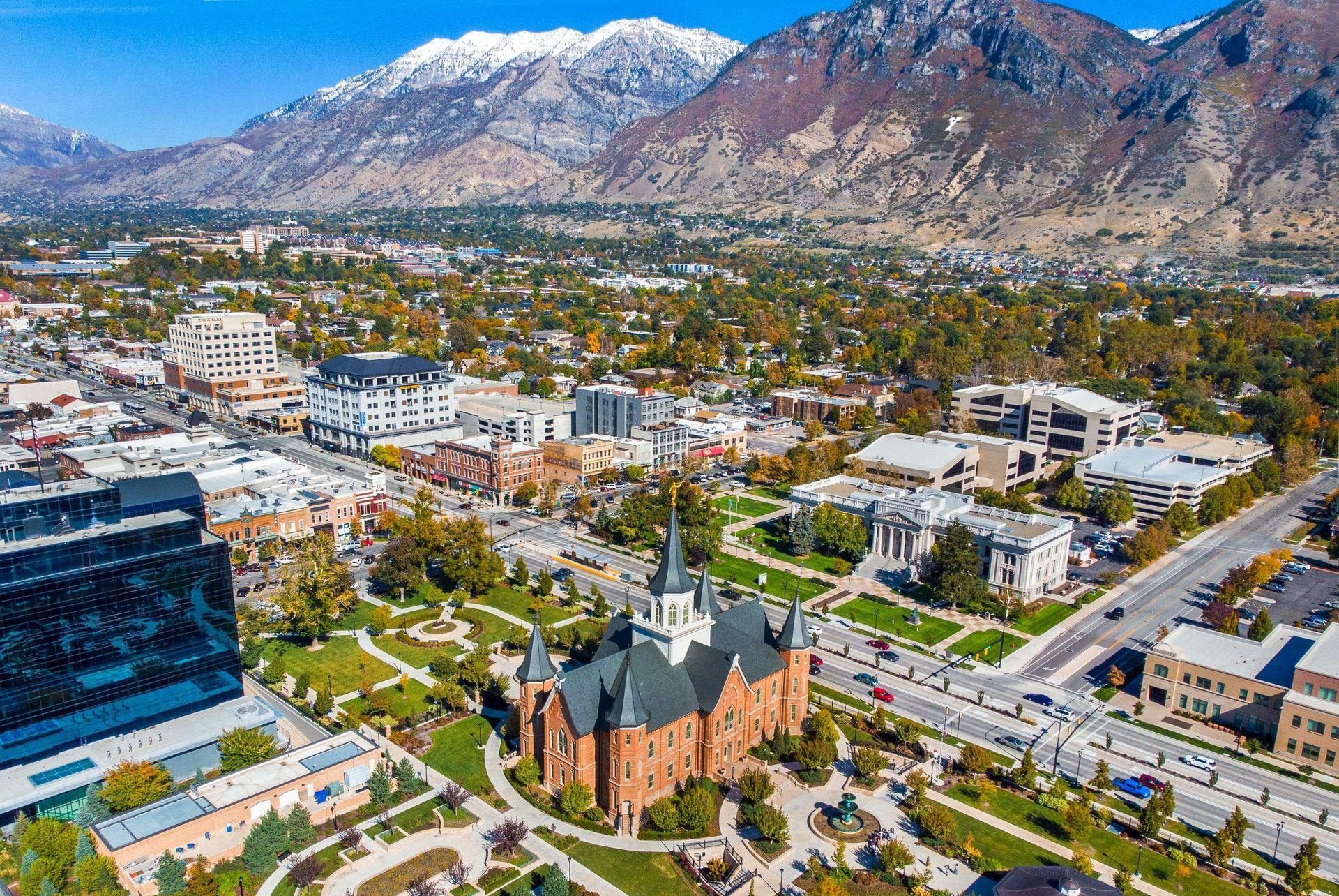
Land Surveyor Provo, Utah
Professional boundary, property-line, topographic, ALTA/NSPS, subdivision and construction surveys for homeowners, buyers, builders, lenders and developers throughout Provo and Utah Valley.
What Kind of Land Survey Do You Need?
The right survey depends on the question your property needs answered. A boundary survey determines legal property lines and corners. A topographic survey records elevations and existing site features. An ALTA/NSPS survey supports commercial title and lender due diligence. Subdivision and construction surveys support land development and building.
Land Survey Services in Provo
Boundary and property-line surveying come first. Other survey types build on the same professional control, records research and field measurement when your project needs elevations, title information, platting or construction layout.
Boundary & Property-Line Surveys
Locate or retrace legal property corners and lines before installing a fence, buying property, building an addition, resolving an encroachment or making another decision that depends on the legal boundary.
Provo Boundary Survey →Topographic Surveys
Map elevations, contours, buildings, pavement, walls, drainage features and other existing site conditions for architectural and civil design.
Topographic Survey Service →ALTA / NSPS Surveys
Commercial land-title surveys coordinated with the title commitment, lender requirements and selected 2026 Table A items.
ALTA Survey Service →Subdivision & Platting
Existing boundary surveying, proposed lot layout, plat preparation and engineering coordination for property division and development projects.
Subdivision & Platting →Construction Staking
Transfer approved building, roadway, utility and grading information from engineered plans to precise locations and elevations on the ground.
Construction Staking →As-Built & Elevation Surveys
Document completed improvements, utility locations or elevations for municipal review, floodplain requirements, project closeout or future design.
Elevation Certificates →
A Precise Measurement of the Wrong Corner Is Still the Wrong Boundary.
Property-line surveying begins with deeds, plats, filed surveys and monument evidence. Field measurements then connect that record to physical evidence on the ground. The Professional Land Surveyor evaluates both before establishing or retracing the boundary.
Boundary Surveys for Provo Property Owners
Boundary surveying is the foundation of many residential property decisions in Provo, particularly where improvements sit close to lot lines or older monumentation is difficult to identify.
A Boundary Survey Can Help You
Do Not Rely on These Alone
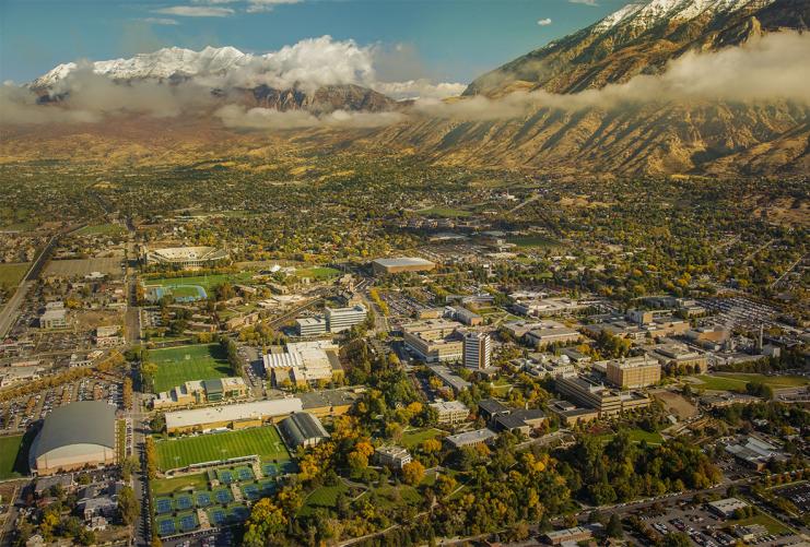
Where the Property Sits in Provo Can Change the Survey Scope.
The city stretches from lower valley terrain toward Utah Lake to established central neighborhoods and steep east-bench properties below the Wasatch Range. Flat subdivision lots, older urban parcels and sloped foothill sites can require very different combinations of boundary research, elevation data and field measurement.
Property Types We Encounter Around Provo
The survey method is built around the parcel itself rather than applying the same field approach to every property.
Older Platted & Infill Lots
Established neighborhoods can involve older monuments, improvements close to property lines and multiple generations of recorded property information.
Sloped Building Sites
Hillside and foothill projects frequently need both boundary control and detailed topographic data for grading, drainage, access and building design.
Downtown & Major Corridors
Commercial acquisitions can involve buildings, parking, access, easements and title exceptions that make ALTA/NSPS surveying appropriate.
New Construction
New-home projects often move from boundary and topographic surveying into site planning, structural or civil engineering and construction staking.
Elevation & Flood Questions
Where floodplain or building-elevation requirements apply, survey elevations can support design, permitting or an Elevation Certificate.
Lot Splits & Subdivisions
Creating new lots begins with an accurate understanding of the existing property boundary before proposed lines and plats are prepared.

Records + Monuments + Field Evidence
Professional boundary surveying reconciles the written record with monument evidence and precise measurements found on the ground.

Modern Equipment Supports Professional Judgment
GNSS receivers and robotic equipment allow precise measurement, but determining a legal boundary still requires records research and licensed survey analysis.
How a Provo Land Survey Works
Different survey types produce different deliverables, but professional land-survey work generally follows the same research, fieldwork and review sequence.
Define the Need
Send the property address or parcel number and tell us why you need the survey.
Research Records
Review deeds, subdivision plats, filed surveys, adjoining records and other applicable property documents.
Field Survey
Locate monuments and collect the measurements, improvements or elevations required by the scope.
Analyze & Draft
Reconcile field evidence with the record and prepare the appropriate map, plat or survey deliverable.
PLS Review
A licensed Professional Land Surveyor reviews and signs the professional survey work when required.
Where Do Provo Survey Records Come From?
Private property surveying in Provo involves several public record systems. The Utah County Recorder maintains deeds, recorded documents, ownership information and official subdivision plats. The Utah County Surveyor maintains filed Records of Survey, PLSS information and corner records.
Ludlow researches the records relevant to the specific assignment rather than beginning with only an online parcel graphic.
Which Record Answers Which Question?
Utah County Recorder
Utah County Recorder
Utah County Surveyor
Utah County Surveyor
Hire a licensed Professional Land Surveyor
Land Survey Cost in Provo
Cost depends on the survey type, property records, monument condition, parcel size, terrain, improvements and requested deliverables. These figures are planning ranges rather than a substitute for a property-specific proposal.
| Survey | Typical Planning Range | Common Provo Use |
|---|---|---|
| Residential boundary survey | $1,200–$2,800 | Property lines, fences, purchases, additions and corner recovery |
| Boundary + topographic survey | $2,000–$4,500 | New homes, additions and design work needing both boundaries and elevations |
| Topographic survey | $1,500–$4,500 | Site plans, grading, drainage, architecture and civil engineering |
| ALTA / NSPS survey | $3,000–$8,000+ | Commercial property acquisition, financing and title due diligence |
| Subdivision / lot split | Quote based | Creating or modifying parcels and preparing plans for jurisdictional review |
| Construction staking | Quote based | Buildings, utilities, grading, roads and other approved improvements |

The Survey Often Becomes the Base for the Entire Project.
For building and development projects, land surveying is usually the first technical step. The boundary establishes where the property actually is. Topography establishes the site's existing elevations and physical conditions. Engineering then uses that survey base to design the proposed project.
Why Use Ludlow for a Provo Survey?
The advantage is not simply owning modern survey equipment. It is keeping records research, boundary analysis, fieldwork, survey drafting and the engineering that may follow inside one coordinated professional firm.
Surveying Utah Since 1975
Ludlow Engineering has worked with Utah property owners, builders and developers for more than five decades.
Licensed PLS on Staff
Professional survey deliverables are reviewed under Utah Professional Land Surveyor responsibility where required.
Surveyors + Engineers
A topographic or boundary survey can feed directly into site, civil, subdivision or construction work without changing firms.
Fixed Fee Before Fieldwork
You receive a defined project scope and fee so you know what the survey includes before the crew mobilizes.
Research Before Measurement
Boundary work starts with the controlling documents and available survey records—not with an arbitrary coordinate from a map.
Modern Survey Equipment
GNSS, robotic total stations and other modern collection tools support field efficiency while professional judgment remains central to the finished survey.
Continue to the Survey You Need
This page owns broad Provo land-surveyor intent. The pages below provide deeper information about the individual survey types and the broader Utah County service area.
Utah County Land Surveyors
Survey services throughout Provo, Orem, Lehi, Spanish Fork, Payson and the rest of Utah County.
Property linesBoundary Surveys
Property corners, legal lines, monument recovery and residential boundary work.
Existing conditionsTopographic Surveys
Contours, elevations and site features for design, permitting and construction.
CommercialALTA / NSPS Surveys
Commercial land-title surveying for buyers, lenders, attorneys and title companies.
DevelopmentSubdivision & Platting
Survey and engineering support for lot splits, subdivisions and development plats.
ConstructionConstruction Staking
Place approved building, grading and utility design accurately on the ground.
PricingLand Survey Cost Guide
Understand what drives boundary, topographic and commercial survey pricing.
ScheduleHow Long Does a Survey Take?
Plan around purchases, permits and construction deadlines.
Beginner guideWhat Is a Land Survey?
Learn how records research, field measurement and professional analysis work together.
Provo Land Survey FAQ
Common questions from homeowners, buyers, builders and developers looking for a land surveyor in Provo.
How much does a land survey cost in Provo?
A typical Provo residential boundary survey generally plans around $1,200–$2,800. A combined boundary and topographic survey commonly falls around $2,000–$4,500. Acreage, records, monument condition and complexity affect the final fee.
Who can determine my property line in Provo?
A licensed Professional Land Surveyor should determine the legal location of a private property boundary. Provo City specifically directs private-property owners needing property lines determined to contact a licensed surveyor.
Can I use the Utah County parcel map as my boundary?
Parcel maps are useful for general reference and property research, but a displayed parcel graphic does not replace a professional boundary survey when the exact legal location of the line matters.
Where are Provo property records kept?
The Utah County Recorder maintains recorded documents, ownership information and subdivision plats. The Utah County Surveyor maintains filed Records of Survey and PLSS/corner information.
Do I need a survey before installing a fence?
If the fence is intended to follow the legal property line, a boundary survey is the appropriate way to establish that line before permanent improvements are installed.
What survey do I need before building a house in Provo?
Many projects need both boundary and topographic information: the boundary defines the property limits while the topographic survey provides elevations and existing site conditions for design.
Can Ludlow survey a hillside property in Provo?
Yes. East-bench and foothill properties frequently benefit from detailed topographic surveying in addition to boundary control because slope affects grading, drainage, access and building design.
Do you provide commercial surveys in Provo?
Yes. Ludlow provides boundary, topographic and 2026 ALTA/NSPS Land Title Surveys for Provo commercial properties and development sites.
Can you handle a Provo lot split or subdivision?
Yes. Ludlow provides the boundary surveying, proposed lot layout, platting, civil engineering and construction staking required for subdivision projects, subject to Provo City review requirements.
Do you provide drone surveys in Provo?
Yes, when aerial mapping is useful for a larger site or project. UAV technology is treated as a supporting data-collection method; legal boundaries and professional survey deliverables remain under the responsible Professional Land Surveyor.

Start With the Property and the Question You Need Answered.
Send Ludlow Engineering the Provo property address or Utah County parcel number, what you are trying to accomplish and any closing, permitting or construction deadline. We will identify the appropriate land-survey scope and provide a fixed-fee proposal.