Property Survey Costs: What Homeowners Pay — and How to Save Time & Money
Knowing what a property survey will cost helps homeowners plan for purchases, improvements, or boundary questions. This guide explains common survey types, typical price ranges, and practical ways to save time and money. Homeowners can run into unexpected fees or delays when the surveying process is unfamiliar. By reading our blog on average costs and the factors that drive them, you’ll be better prepared for your survey needs. We cover what surveys do, average costs in Utah and nationwide, the major cost drivers, and smart steps to reduce expense and turnaround time.
What Is a Property Survey and Why Is It Essential for Homeowners?
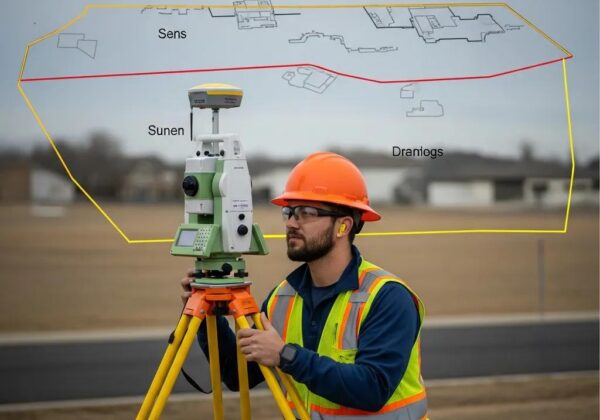
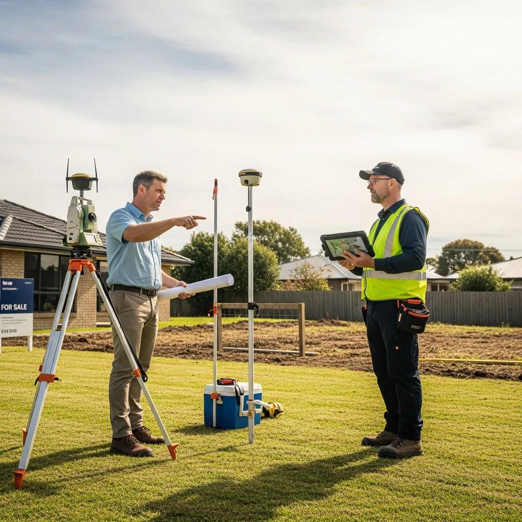
A property survey is a licensed land surveyor’s map and report that documents property boundaries, improvements, easements, and the legal description. It shows exactly where the property begins and ends, identifies potential encroachments, and helps ensure compliance with local zoning and lending requirements. A professional survey reduces the risk of neighbor disputes and gives buyers and lenders confidence in a property’s legal boundaries.
How Does a Property Survey Protect Your Investment?
Surveys protect your investment by clearly defining property lines so you know what you own and can avoid costly boundary disputes. They also help prevent title problems during a sale or loan closing by giving buyers, lenders, and title companies a reliable record of the property’s limits and any easements.
Further research explores how property boundaries form the legal foundation of private land ownership and the economic forces that shape dispute resolution.
Property Boundaries & Surveying Costs — key insights
This interdisciplinary paper examines the boundary as both the ontological foundation of private land ownership and a pre‑contract condition for exchanges in planned urban development. Under conditions of positive transaction costs (per the third Coase Theorem), and using real examples, the paper explains why parties sometimes turn to courts rather than markets to resolve boundary disputes. It identifies two surveying reasons (historical and cartographic) and three economic reasons tied to land price levels, the transaction costs of enforcing dispute resolutions, and the externalities of boundary determination.
The determination of the “true” property boundary in planned development: a
Coasian analysis, LWC Lai, 2018
What Are the Average Property Survey Costs in Utah and Nationwide?

Survey prices vary widely with location, survey type, and site conditions. In Utah, a standard survey typically costs between $350 and $1,000. Nationwide averages usually fall in the $400 to $1,500 range. Use these figures as a planning baseline—actual cost depends on the specifics of the job.
How Do Boundary, Mortgage, ALTA, and Topographic Surveys Differ in Price?
Different surveys have different scopes and levels of detail, which affects price. Below are common survey types and their typical cost ranges:
What Local Factors Affect Survey Prices in Utah Counties?
Local factors such as terrain, accessibility, and county regulations influence price. Urban areas may be more expensive because of higher demand and permit requirements, while remote or rugged sites can add time and equipment costs for survey crews.
Which Key Factors Influence Property Survey Costs?
Several elements combine to determine the final surveyprice. Understanding them helps homeowners set realistic budgets and timelines.
How Do Property Size and Terrain Impact Survey Pricing?
Larger parcels take more time to survey, and complicated terrain—steep slopes, heavy vegetation, or irregular lot shapes—adds effort and specialized equipment, increasing the cost.
What Role Do Location and Record Availability Play in Cost?
If public records and previous surveys are easy to access, the job is typically quicker and cheaper. When records are missing or ownership history is complicated, surveyors must spend extra time on research and field verification, which raises the fee.
How Can Homeowners Save Time and Money on Property Surveys?
With a little preparation you can speed the process and lower costs. Clear communication and accessible documentation make a big difference.
What Preparations Reduce Survey Time and Fees?
Gather deeds, previous surveys, and any permits before the surveyor arrives. Clear brush or obstacles that block access, and mark existing fences or corners if known. These steps let crews work faster and reduce onsite labor time. Land surveys are an important part of this process.
How to Compare Quotes Effectively for the Best Value?
Ask for itemized estimates that list services, deliverables, and possible extra fees. Compare surveyors’ experience, turnaround time, and what’s included—field work, research, mapping, and deliverables. A low quote can be costly later if the scope is incomplete.
What Surveying Services Does Ludlow Engineers Offer to Utah Homeowners?
Ludlow Engineers and Associates, founded in 1975, is a Utah civil engineering and land surveying firm. We provide Land Surveys, Boundary Surveys, ALTA Title Surveys, Civil Engineering, House Plans, Civil Site Plans, Topographic Surveys, FHA Foundation Inspections, and UAV aerial surveying—practical services for homeowners, builders, and lenders.
Using modern tools like unmanned aircraft helps deliver surveys faster and, in many cases, at lower cost without sacrificing accuracy.
Low-Cost Property Surveys with UAV Technology
Keywords: UAV photogrammetry, unmanned aerial vehicle, digital non‑metric camera, low‑cost equipment, surveying, orthophoto, digital elevation model. This study shows how unmanned aerial vehicles and photogrammetric workflows can produce orthophotos and digital elevation models with lower operating costs than traditional manned airborne surveys.
Low cost surveying using an unmanned aerial vehicle, 2013
How Does Ludlow’s Local Experience Benefit Your Property Survey?
Our decades of local experience mean we know Utah’s permitting rules, common title issues, and the terrain. That familiarity shortens research time, avoids common pitfalls, and delivers a cleaner, more predictable survey process.
How to Request a Customized Property Survey Quote from Ludlow Engineers?
Contact Ludlow with basic property details and your goals—address, parcel size, and any prior surveys or deeds. We’ll schedule a short consultation, confirm the scope, and provide a tailored estimate that explains services and timelines.
What Are the Most Common Questions About Property Survey Costs?
Homeowners frequently ask a few straightforward questions that clarify expectations and next steps.
How Much Does a Land Survey Typically Cost?
Expect a typical range of $350 to $1,500 depending on survey type, property size, terrain, and local requirements.
Do I Need a Land Survey When Buying or Selling a Home?
Often, yes. Surveys identify boundaries and easements that buyers, sellers, and lenders rely on to avoid surprises at closing. Lenders or title companies may require one as part of the transaction.
Frequently Asked Questions
What types of property surveys are available, and how do I choose the right one?
Common surveys include boundary, mortgage, ALTA, and topographic. Choose based on your goal: boundary surveys locate property lines, ALTA surveys are used for commercial closings, and topographic surveys map site elevations and features. Discuss your objective with a licensed surveyor to select the proper scope.
How long does a property survey typically take to complete?
Timing depends on survey type, property size, and complexity. A standard boundary survey often takes a few days to a week; ALTA or complex jobs that require title research and detailed mapping can take several weeks. Ask your surveyor for a realistic timeline for your job.
Are there any hidden costs associated with property surveys?
There can be additional charges for extended research, travel to remote sites, permit fees, or resolving disputed boundaries. Request a detailed estimate upfront and ask about potential extra costs so you’re not surprised later.
Can I perform my own property survey?
You can make informal measurements, but for legal, lending, or title purposes you need a licensed surveyor. Professionals have the tools, training, and record access to produce accurate, legally defensible surveys.
What should I do if I disagree with the results of my property survey?
First, discuss discrepancies with the surveyor—often questions can be resolved with documentation or clarification. If disagreement remains, consider a second opinion from another licensed surveyor or consult a real estate attorney to explore mediation or legal options.
How can I ensure my property survey is accurate?
Hire a licensed and experienced surveyor with local knowledge, provide all relevant documents (deeds, past surveys), clear access to the site, and maintain open communication through the process. These steps help ensure an accurate result.
Conclusion
Understanding survey types, typical costs, and what drives price helps you protect your property and budget more confidently. Prepare documents, choose the right survey for your needs, and compare detailed quotes to save time and money. For tailored guidance, explore our resources or contact a licensed surveyor to discuss your property and next steps.