1
Who Is the Utah-Licensed PLS Responsible for My Survey?
Boundary surveying is professional work. Ask who will take professional responsibility for the final survey and confirm that person’s Utah Professional Land Surveyor license.

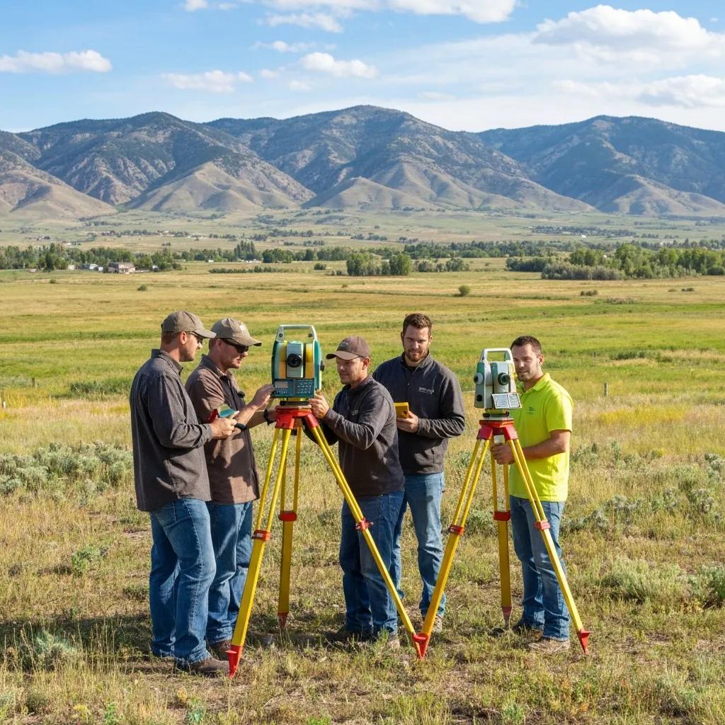
Looking for a land surveyor near you in Utah? Start by verifying that a Utah-licensed Professional Land Surveyor will be responsible for the work, then compare the actual survey scope—not just the lowest number at the bottom of the quote.
First confirm that the person responsible for the professional survey is licensed to practice land surveying in Utah. Then make sure the firm understands the type of survey you actually need, gives you a written scope, explains the deliverables and timeline, and has experience with similar property and record conditions. The best quote is the one that clearly defines the work—not automatically the lowest price.
These questions make it much easier to compare firms and prevent the most common problem with survey quotes: two prices that are actually describing two different scopes.
Boundary surveying is professional work. Ask who will take professional responsibility for the final survey and confirm that person’s Utah Professional Land Surveyor license.
Explain the decision you need to make: fence, purchase, building, commercial closing, design, lot split or construction. A good surveyor should help match the service to the goal.
Ask whether the fee includes records research, fieldwork, monument search, corner setting, drafting, professional review, filing and the agreed final map or digital files.
Do not assume every quote includes the same deliverables. Confirm whether you receive a signed survey map, CAD data, legal description, elevation data, physical corner marking or another specific product.
Missing monuments, difficult access, unexpected acreage, poor deed descriptions or an expanded scope can change a project. Ask whether the fee is fixed and how additional work would be authorized.
Tell the surveyor about your closing, fence installation, permit or construction deadline. Ask for the full project timeline—not merely the day the field crew can visit.
Experience with the county records, property type and project scope can matter—especially for rural acreage, older boundaries, commercial ALTA work and complicated development sites.
A boundary survey is not just a GPS coordinate. Ask how the surveyor evaluates deeds, recorded plats, previous surveys, found monuments and physical occupation when the evidence conflicts.
For qualifying boundary surveys, Utah law requires the surveyor to file the survey map with the county surveyor or designated office within 90 days of establishing or re-establishing the boundary.

GNSS receivers and robotic total stations can measure points with extraordinary efficiency. They do not decide which deed controls, whether an old monument should be accepted or where a legal boundary belongs when the evidence conflicts. Those questions require records, field evidence and the judgment of a licensed Professional Land Surveyor.
Searches for “surveyor near me” usually begin with a property problem—not the technical name of a service. Match your goal to the likely survey below.
Establish or retrace legal property lines and corners using records, monument evidence and field measurements.
Boundary Survey →Map elevations, contours, improvements and existing conditions for site, grading and building design.
Topographic Survey →Detailed commercial land-title survey coordinated with title documents, lender requirements and selected Table A items.
ALTA Survey →Transfer approved building, road, utility and grading locations from the plans to precise positions in the field.
Begin with the existing boundary, then create the proposed lots, legal descriptions and required plat documents.
Subdivision & Platting →Surveyed building and ground elevations for applicable FEMA, floodplain, lender or insurance-related requests.
Elevation Certificates →Ignore the old $400–$900 boundary-survey figures still found on some legacy pages. Current Utah pricing depends heavily on the property and scope, but Ludlow’s established planning ranges provide a much more useful starting point.
| Survey Type | Typical Utah Planning Range | Common Use |
|---|---|---|
| Modern residential boundary lot | $1,025–$1,500 | Fence, purchase, corners, addition or straightforward subdivision lot |
| Older / rural residential boundary | $1,500–$2,500 | Older records, acreage, metes-and-bounds parcels or more complicated evidence |
| Rural acreage boundary | $2,500–$6,000+ | Large parcels, remote corners, PLSS evidence and difficult access |
| Topographic survey | $1,500–$4,500 | Architecture, grading, drainage and civil design |
| Boundary + topographic | $2,000–$4,500 | New homes and projects needing both property lines and elevations |
| ALTA / NSPS Land Title Survey | $3,000–$8,000+ | Commercial purchases, title and lender due diligence |
| FEMA Elevation Certificate | $400–$700 typical | Floodplain permits, insurance information and elevation documentation |
| Subdivision / construction staking | Quote based | Scope varies significantly by property and project |
A $1,200 proposal and a $1,800 proposal are not truly comparable until you know whether both firms are promising the same research, fieldwork, monuments, filing and final deliverables.

Utah treats land surveying as a licensed profession. DOPL requires Professional Land Surveyor applicants to satisfy education, examination and surveying-experience requirements, including the Utah professional land-surveyor examination.
For a property owner, the practical question is simple: who is the Utah-licensed PLS taking professional responsibility for this work?
The biggest risks usually come from unclear scope, unclear professional responsibility or choosing a product that does not actually solve the property problem.
If the firm cannot identify the Utah Professional Land Surveyor responsible for professional survey work, stop and verify before proceeding.
Boundary retracement requires records and monument evidence, not merely coordinates collected from a receiver.
A vague quote makes disputes over corners, maps, filing and additional charges much more likely.
A substantially lower proposal may be legitimate—but ask what work or deliverable is different before assuming it is the same survey.
A professional cannot know in advance whether old monuments, deeds and occupation will agree until the relevant evidence is evaluated.
A boundary survey, topo, ALTA survey and construction staking are different professional services. The cheapest wrong survey is still money wasted.
Most homeowners see only the field visit. A complete boundary survey also includes record research, analysis, drafting, professional review and county filing where required.
Provide the property, goal and deadline. The surveyor determines the likely work and prepares the proposal.
Review deeds, subdivision plats, prior surveys and other property records relevant to the boundary.
Locate existing monuments, establish control and collect the measurements required to evaluate the property.
Compare field evidence with the record, resolve the professional boundary analysis and prepare the survey map.
The responsible Professional Land Surveyor reviews the work, issues the agreed deliverable and completes required filing.
You do not need to solve the technical questions before calling. A few pieces of information let the surveyor identify the likely scope much faster.

For surveying, local value comes from Utah licensure, records experience, familiarity with counties and municipalities and the ability to mobilize a professional crew to the property.

Older Utah property can depend on deeds, subdivision records, Public Land Survey System evidence and monuments that predate modern satellite positioning by decades.
Ludlow Engineering is based in Nephi and works across Utah. Use the local page closest to your property, or send us the parcel directly if your city is not listed.
Countywide boundary, topo, ALTA and development surveying.
Utah CountyResidential and commercial land surveying in Provo and nearby Utah Valley.
North Utah CountyProperty, development and construction surveying in one of Utah’s fastest-growing areas.
Weber CountyBoundary, property-line, topo and commercial surveying in the Ogden area.
Central UtahManti, Ephraim, Mount Pleasant, Fairview and rural Sanpete properties.
Sevier CountyBoundary, topographic and development surveying in Richfield and central Utah.
Carbon CountyResidential, commercial and rural surveying in Price and Castle Country.
South Utah CountyProperty and land-survey services for Payson and surrounding communities.
Anywhere in UtahSend the property address or parcel number and Ludlow can review your location.
This page owns the broad “land surveyor near me” hiring intent. These pages provide deeper information about specific survey types, costs and timelines.
Compare boundary, topo, ALTA, flood, UAV and other survey services.
Property linesUnderstand corners, monument evidence, filing and the full boundary process.
PricingDetailed cost ranges across the major survey types and property sizes.
TimelineUnderstand research, fieldwork, drafting and professional review timelines.
Beginner guideLearn what professional surveyors measure, research and deliver.
DesignContours and existing-site information for architects and engineers.
CommercialCommercial title surveys under the current 2026 national standard.
After the surveyTurn survey information into building layout, grading, drainage and utilities.
Your propertySend the parcel and goal so Ludlow can identify the right scope.
Common questions from Utah property owners trying to choose a qualified surveyor without overpaying for the wrong service.
Look for a Utah-licensed Professional Land Surveyor with experience in the survey type and property conditions you need. Verify licensure through Utah DOPL and compare written scope, deliverables, timeline and price before hiring.
A standard Utah residential boundary survey commonly costs about $1,025–$2,500. Rural acreage commonly runs $2,500–$6,000+ and ALTA/NSPS commercial surveys generally start around $3,000.
There is no universal cheapest survey because the service should match the problem. For property-line questions, order a boundary survey rather than buying a cheaper product that does not legally address the boundary.
For most Utah homeowner use, “property-line survey,” “property survey” and “boundary survey” refer to professional work establishing or retracing the legal property lines and corners.
Consumer GPS, phone coordinates and online parcel maps are not substitutes for professional boundary retracement. A legal boundary depends on the controlling record and monument evidence, not simply a displayed coordinate.
Utah Professional Land Surveyors are regulated through the Utah Division of Professional Licensing. Ask for the responsible surveyor’s name and license information and verify it through DOPL.
Comparing quotes can be useful, but compare the scopes carefully. Make sure each proposal includes the same survey type, fieldwork, monument work, deliverables and professional review.
The difference can come from parcel size, records, missing monuments, terrain, travel, survey type and deliverables. Two firms may also be quoting materially different scopes while using the same general service name.
A straightforward residential boundary survey commonly takes about one to three weeks in Utah. Rural acreage, missing monuments and complicated records can extend the schedule.
If the fence is intended to follow the legal property line, a professional boundary survey is the reliable way to locate that line before permanent construction.
It depends on the property and transaction, but a boundary survey can identify property lines, corner locations and potential occupation or encroachment issues before they become your problem after closing.
Many new-home projects benefit from both boundary and topographic surveying. The boundary establishes legal site limits while the topo supplies elevations and existing conditions for design.
A surveyor can professionally determine and document the boundary based on the available legal and physical evidence. Legal ownership or title disputes may still require agreement between owners, title professionals or legal counsel.
Utah Code §17-23-17 requires qualifying boundary-survey maps to be filed with the county surveyor or designated office within 90 days after the boundary is established or re-established.
Send the property address or parcel number, what you are trying to accomplish and your deadline. A prior survey, deed, title report or subdivision plat is also helpful when available.
Send Ludlow Engineering the property address or parcel number, what you are trying to accomplish and any deadline you are working toward. We can identify the appropriate survey scope and provide a written proposal before fieldwork begins.