Ludlow Engineering logo, representing a land surveying company in Utah, associated with land survey cost variations and related services.

FEMA Elevation Certificate in Utah

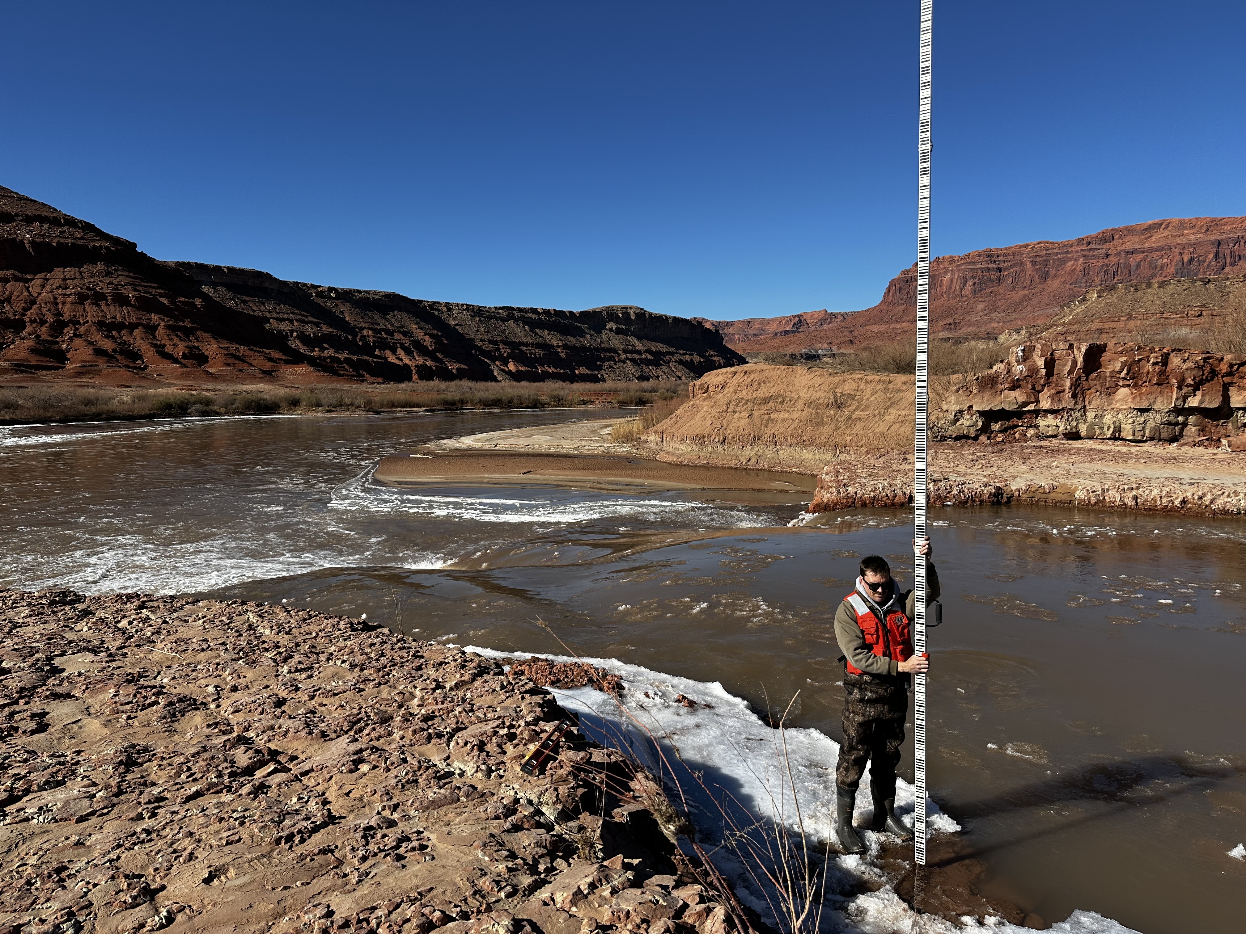
Surveyor measuring river elevation along the San Juan River in Utah
Home  ›  Land Surveys  ›  FEMA Elevation Certificates
Utah · FEMA · NFIP · Certified Elevations

FEMA Elevation Certificate Utah

Licensed Utah surveyors measure your building and ground elevations and complete the FEMA Elevation Certificate for floodplain permitting, insurance information, lender requests, property transactions and FEMA map-change support.

Elevation Certificates start at $400. Most standard Utah residential certificates are completed within about 1–2 weeks. Send the property address and tell us why the certificate was requested—we can review the project before you schedule the field survey.
From $400 Standard Utah residential service
1–2 Weeks Common standard turnaround
Utah PLS / PE Professional elevation certification
Statewide Residential & commercial properties
Direct answer

What Is a FEMA Elevation Certificate?

A FEMA Elevation Certificate documents a building’s elevation and characteristics in relation to flood-hazard information shown on the applicable Flood Insurance Rate Map. The form can record the flood zone, map panel, Base Flood Elevation where available, lowest-floor elevations, adjacent grades, building diagram and other information used for floodplain management, insurance rating and FEMA map-change requests.

01 · First determine why it was requested

Do You Actually Need an Elevation Certificate?

Not every property in or near a mapped flood zone automatically needs a new survey-based Elevation Certificate. The answer depends on whether the request is coming from a floodplain administrator, insurer, lender, buyer or FEMA map-change process.

Flood insurance

Buying an NFIP Policy

Under FEMA’s current Risk Rating methodology, an Elevation Certificate is not required simply to purchase NFIP flood insurance. An owner may voluntarily provide one, however, and the measured information can be considered in rating the policy.

Local floodplain management

New Construction or Major Improvements

Communities participating in the NFIP must maintain elevation information for qualifying new and substantially improved buildings in mapped Special Flood Hazard Areas. Your local floodplain administrator may require an Elevation Certificate during permitting or project closeout.

Lender / transaction

A Bank or Buyer Asked for One

Lenders, insurers, buyers and real-estate professionals may request elevation documentation during a transaction. Send us the exact request so we know what information the project needs.

Flood-zone challenge

LOMA or LOMR-F Support

Certified elevation information may support a FEMA Letter of Map Amendment or Letter of Map Revision Based on Fill when a property owner believes the mapped flood-zone designation does not reflect the actual elevation conditions.

North Fork of the Weber River in Utah illustrating riverine flood conditions
Flood risk is tied to elevation

A Flood Map Shows the Hazard Area. The Survey Measures the Building.

FEMA’s Flood Insurance Rate Map identifies mapped flood-hazard zones and, in many studied areas, a Base Flood Elevation. The Elevation Certificate adds site-specific building and ground measurements so the structure can be evaluated against that mapped flood information.

02 · Site-specific elevation data

What Does the Surveyor Measure?

The exact information depends on the building type and purpose of the certificate, but the FEMA form requires more than one single floor elevation.

Building

Lowest-Floor Elevations

Required building elevations are measured according to the applicable FEMA building diagram and Section C instructions.

Ground

Lowest & Highest Adjacent Grade

Ground elevations immediately next to the building are important for floodplain management and selected FEMA map-change requests.

Map information

Flood Zone & FIRM Panel

The form identifies the applicable NFIP community, flood zone, FIRM panel and effective or revised map information.

Flood elevation

Base Flood Elevation

Where an applicable BFE exists, the certificate identifies the elevation and its source and vertical datum.

Building configuration

Foundation / Building Diagram

The FEMA building diagram helps determine which building elevations are relevant to the certificate.

Openings

Crawlspace & Enclosure Openings

The form records specified flood openings for qualifying crawlspaces, enclosures and attached garages.

Documentation

Building Photographs

Finished-construction certificates require building photographs that document the structure associated with the elevation data.

Certification

Professional Survey Data

Surveyed elevation information is certified by the appropriate licensed professional under FEMA’s form requirements and applicable law.

USGS riverine floodplain diagram showing Base Flood Elevation and other flood elevations
03 · The number most owners hear about

What Is the Base Flood Elevation?

The Base Flood Elevation, or BFE, is the elevation associated with the base flood—the flood having a 1% chance of being equaled or exceeded in any given year. This is commonly called the “100-year flood,” although that phrase does not mean a flood occurs only once every hundred years.

Where FEMA has established a BFE, the Elevation Certificate can show the relationship between the building’s surveyed elevations and that mapped flood elevation.

Important: being above the BFE and being outside the mapped Special Flood Hazard Area are not the same thing. An Elevation Certificate documents elevations. A FEMA Letter of Map Change is the process that can officially amend the mapped determination where the requirements are met.
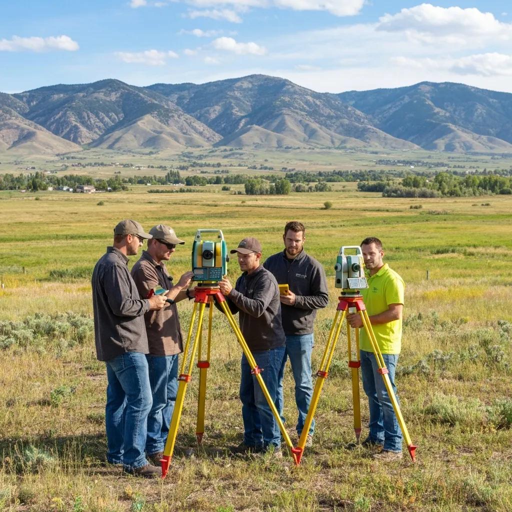
Licensed land surveyor using professional total station and GNSS equipment

Survey-Grade Elevation Control

The certificate is based on professional elevation measurements referenced to the appropriate vertical datum—not an elevation taken from a phone, consumer GPS receiver or online map.

Professional Utah land surveying crew performing field elevation measurements

The Building and Ground Are Both Important

Floodplain elevation work can include finished-floor, foundation, equipment and adjacent-ground measurements, depending on the building and FEMA form requirements.

04 · From address to certified FEMA form

How the Elevation Certificate Process Works

The fastest projects begin with the property address and the reason the certificate is being requested.

1

Send the Address

Provide the Utah property address, parcel information if available and the reason the certificate was requested.

2

Review Flood Data

Identify the applicable FIRM panel, mapped flood zone, BFE information and local project requirements.

3

Field Survey

Measure the building and adjacent-ground elevations using professional survey control and the appropriate vertical datum.

4

Complete the EC

Prepare the FEMA Elevation Certificate using the property, map, building and surveyed elevation information.

5

Certify & Deliver

Complete the professional certification and provide the finished document for the owner and requesting party.

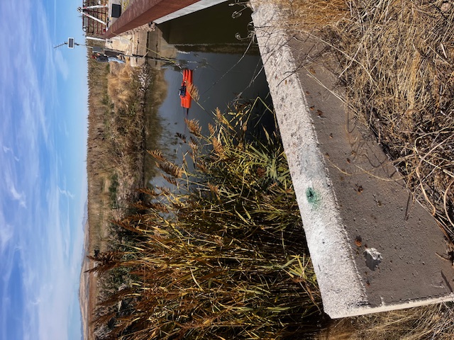
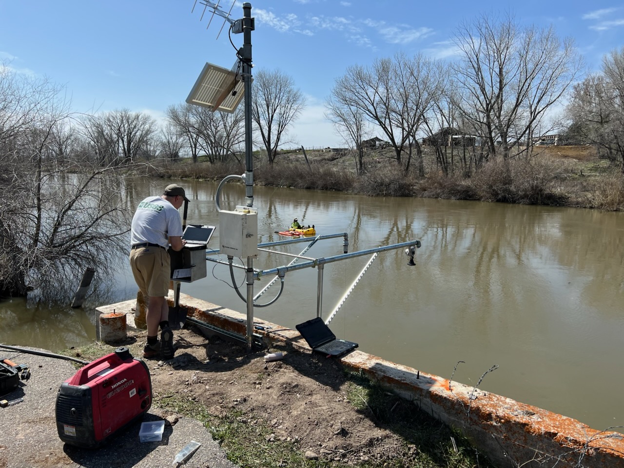
USGS technician monitoring the Bear River in Utah illustrating flood and river elevation data
Flood maps and field elevations answer different questions

Start With the Effective FEMA Map—Then Measure the Actual Structure.

The map establishes the regulatory flood-hazard information for the location. The site survey establishes the building and ground elevations at the property. Together, those datasets support the floodplain administrator, insurer, lender or FEMA process that requested the information.

05 · Current Ludlow planning ranges

FEMA Elevation Certificate Cost in Utah

Pricing depends on property location, building configuration, survey control, benchmark availability, access and whether the work expands into a FEMA Letter of Map Change request.

Project Typical Scope Planning Range
Standard single-family home Flood-map review, field elevations and completed survey-based Elevation Certificate $400–$700
Complex residential property Difficult access, unusual foundation, additional elevation work or rural travel $700–$1,000+
Commercial building Larger or more complex structure and property-specific floodplain documentation Quoted by scope
LOMA / map-change support Additional certified elevation, survey and FEMA application support beyond a standard EC Quoted separately
Professional land surveyor collecting precise elevation data for FEMA flood map work
06 · Think the FEMA map is wrong for your structure?

Elevation Certificate vs. LOMA: They Are Not the Same Thing.

An Elevation Certificate documents the building and ground elevations. It does not itself remove a building or parcel from a mapped Special Flood Hazard Area.

If certified survey information supports it, a property owner may apply to FEMA for a Letter of Map Amendment or another appropriate Letter of Map Change. FEMA—not the surveyor—makes the official map determination.

LOMA: commonly used where natural ground is shown to be above the applicable base flood elevation.
LOMR-F: addresses qualifying property or structures elevated by fill.
Elevation data: certified lowest-adjacent-grade or other survey information may be required for the request.
Federal insurance mandate: only an applicable FEMA map-change determination can amend the FIRM for mandatory-purchase purposes.
Lender discretion: a lender may still require flood insurance even after FEMA issues a favorable map-change determination.
07 · Flood elevation work throughout Utah

Where Elevation Certificates Come Up in Utah

Utah is dry overall, but flood risk is highly localized. River corridors, lake-adjacent ground, mountain runoff, alluvial fans and desert washes create very different floodplain conditions across the state.

Wasatch Front

River & Creek Corridors

Properties along the Jordan, Weber, Provo and other waterways can intersect mapped flood hazard areas even within highly developed communities.

Utah County

Provo River & Utah Lake

Low-lying and river-adjacent property can generate flood-zone, insurance and permitting questions requiring verified elevation data.

Central Utah

River Valleys & Creek Bottoms

Properties near the Sevier River and smaller streams may involve mapped floodplains or locally regulated flood-hazard areas.

Southern Utah

Washes & Flash-Flood Terrain

Desert channels and washes create a different flood environment from the broad riverine floodplains common in northern valleys.

Mountain areas

Snowmelt & Steep Drainages

Mountain runoff and confined drainages can affect properties well away from large rivers or lakes.

Statewide

Local Ordinances Still Control Permitting

FEMA mapping provides the national flood-hazard framework, while the city or county floodplain administrator applies the community’s adopted development requirements.

08 · Three things owners frequently misunderstand

What an Elevation Certificate Does—and Does Not Do

Several older flood-elevation pages on the web still repeat rules from before FEMA’s current insurance rating system. These distinctions matter before you pay for a survey.

Insurance

It Is Not Required Just to Buy NFIP Insurance

Under FEMA’s current rating methodology, owners can purchase NFIP coverage without providing an Elevation Certificate. Submitting one is optional and FEMA can consider its information when determining the premium.

Map status

It Does Not Remove the Flood Zone

The certificate documents elevations. If you want FEMA to amend the mapped determination, a separate Letter of Map Change request must be reviewed and approved by FEMA.

Expiration

A Completed Certificate Does Not Automatically Expire

FEMA states that a completed Elevation Certificate does not expire simply because the form itself has an administrative expiration date. Physical changes to the building can invalidate specific elevation or building information.

10 · Direct answers

FEMA Elevation Certificate FAQ

Common questions from Utah homeowners, buyers, builders, lenders, insurers and floodplain administrators.

How much does a FEMA Elevation Certificate cost in Utah?

Ludlow’s standard residential Elevation Certificates typically run about $400–$700. Difficult access, rural travel, unusual building conditions or expanded flood-zone work can increase the fee to $700–$1,000 or more.

How long does an Elevation Certificate take?

Most standard Ludlow Elevation Certificate projects are completed in approximately one to two weeks. Tell us about closing, permit or insurance deadlines when requesting the quote.

Do I need an Elevation Certificate to buy flood insurance?

Not necessarily. FEMA states that an Elevation Certificate is not required simply to purchase NFIP coverage under the current Risk Rating methodology. Providing one is optional and its measured information may affect the premium.

Can an Elevation Certificate lower my flood insurance premium?

Possibly. FEMA can consider the building and elevation information when rating a policy. Whether it reduces the premium depends on the specific building, flood risk and other rating factors.

What is the current FEMA Elevation Certificate form?

FEMA currently identifies the Elevation Certificate as Form FF-206-FY-22-152, formerly numbered FEMA Form 086-0-33.

Does an Elevation Certificate expire?

FEMA states that a certified and completed Elevation Certificate does not expire merely because the printed form has an expiration date. Physical changes to the building can invalidate information on the certificate and require updated documentation.

Who can certify the survey elevations?

FEMA’s surveyed-elevation sections are certified by a land surveyor, engineer or architect authorized by applicable law. Ludlow’s survey-based Utah elevation work is prepared through its licensed professional surveying and engineering team.

What is a Base Flood Elevation?

The Base Flood Elevation is the elevation associated with the flood having a 1% annual chance of being equaled or exceeded. It is commonly referred to as the 100-year flood elevation.

What is a Special Flood Hazard Area?

A Special Flood Hazard Area is the land area covered by the base flood on FEMA’s Flood Insurance Rate Map. These areas include high-risk flood-zone designations such as many A and V zones.

Can an Elevation Certificate remove my property from a flood zone?

No. The certificate provides elevation information. FEMA must issue an applicable Letter of Map Change, such as a LOMA or LOMR-F, to officially amend the mapped determination.

What is a LOMA?

A Letter of Map Amendment is a FEMA determination that can amend the flood-map status of qualifying land or a structure that is naturally above the applicable base flood elevation. Certified survey elevation information may be required.

If FEMA issues a LOMA, can my lender still require flood insurance?

Yes. FEMA states that a favorable LOMA or LOMR-F can remove the federal mandatory-purchase requirement where applicable, but an individual lending institution can still choose to require flood insurance.

Do you provide Elevation Certificates for new construction?

Yes. New construction and substantial-improvement projects in regulated floodplains often require elevation documentation for local floodplain-management compliance. Confirm the required construction stage with the local floodplain administrator.

What should I send for a quote?

Send the property address, parcel number if available, why the certificate was requested, the requesting lender/insurer or jurisdiction if applicable, and your deadline. Existing flood documents or prior Elevation Certificates are also helpful.

Utah river elevation survey illustrating professional flood elevation measurement
Utah · FEMA Elevation Certificate · Licensed Survey Professionals

Send the Address Before You Order the Survey.

Tell Ludlow Engineering where the Utah property is located, why the Elevation Certificate was requested and when you need it. We can review the project, confirm the survey scope and provide a fixed-fee proposal before the field visit.