Boundary Surveys
Corners found or set and the deed reconciled with fences and buildings on the ground.
Boundary Surveys →
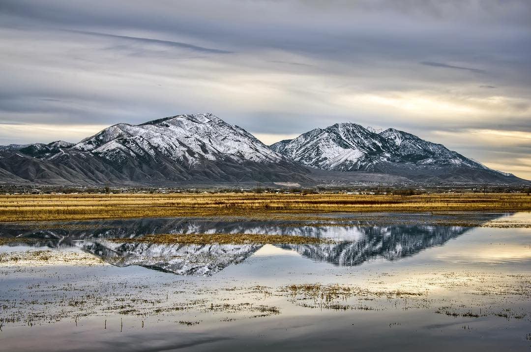
Boundary, foundation, topographic, subdivision and ALTA surveys for homeowners, builders and developers in Spanish Fork and the farm communities west of town, stamped by a licensed Utah Professional Land Surveyor.
On a newer subdivision lot, a boundary survey is usually quick because the plat and corner pins are recent. Older downtown lots and parcels carved out of farm ground take more research, especially when deeds have been split and combined over the years. If you’re building, plan on a boundary or topographic survey for design, staking before excavation and a foundation survey after the pour. Developers need topography, subdivision design and a recorded plat.
Surveys prepared by our own crews and stamped by a Utah PLS, with civil engineers in-house when the project moves into design.
Corners found or set and the deed reconciled with fences and buildings on the ground.
Boundary Surveys →Location and top-of-foundation elevation confirmed before framing.
Foundation Surveys →Contours and features for grading, drainage and home or site design.
Topographic Surveys →Lot layout, roads, utilities and the recorded plat for new subdivisions.
Subdivision Design →Building, curb, utility and grade stakes to keep construction on the plans.
Construction Staking →Title-grade surveys for commercial purchases and refinances in Utah County.
Utah County ALTA Surveys →
Many older Spanish Fork parcels have passed through dozens of owners, with pieces sold off and neighboring land added on. Some deeds describe a line only by the neighbor’s name. Before we can measure, we have to rebuild that puzzle from the records, and on an older parcel that research can be half the job or more.
The situations that most often shape scope, schedule and price around Spanish Fork.
Early blocks near Main Street where fences, plats and deeds don’t always agree.
Fields west and south of town being split for homes and subdivisions.
Canals, ditches and pipelines cross many parcels and need to be shown before you build.
Parcels near the river may involve floodplain mapping and elevation certificates.
Sloped lots toward the mountains need topography for drainage and foundations.
Repeatedly divided parcels make research the biggest part of the survey.
Spanish Fork and the towns around it are building fast. One survey firm across every stage keeps your measurements consistent and your inspections on schedule.
Lines, setbacks and grades for the site plan and permit.
House corners and offsets set before digging.
Location and elevation verified before framing.
Stamped documents for inspectors, lenders and the city.
Size, terrain and especially the deed history set the price. We review the records before quoting, and every quote is a fixed fee.
| Survey Type | Typical Range | Typical Spanish Fork Situation |
|---|---|---|
| New subdivision lot | $1,025–$1,800 | Recent plat with existing pins |
| Older or re-divided parcel | $1,800–$3,000+ | Downtown lot or many past splits |
| Farm or acreage parcel | $2,500–$6,000+ | Ground west or south of town |
| Boundary + topography | $2,000–$4,500 | New home or addition design |
| ALTA / NSPS survey | From $3,000 | Commercial purchase or refinance |
| Staking & foundation | Quoted by scope | Scheduled to your build |
Records first, then the field, then a stamped and filed map.
Address or parcel number and your goal.
We gauge the deed history before quoting.
Scope and price in writing.
Corners searched, measured and set.
Stamped map to you, filed with Utah County.

Fences, additions, home purchases and neighbor questions, answered with a stamped survey.
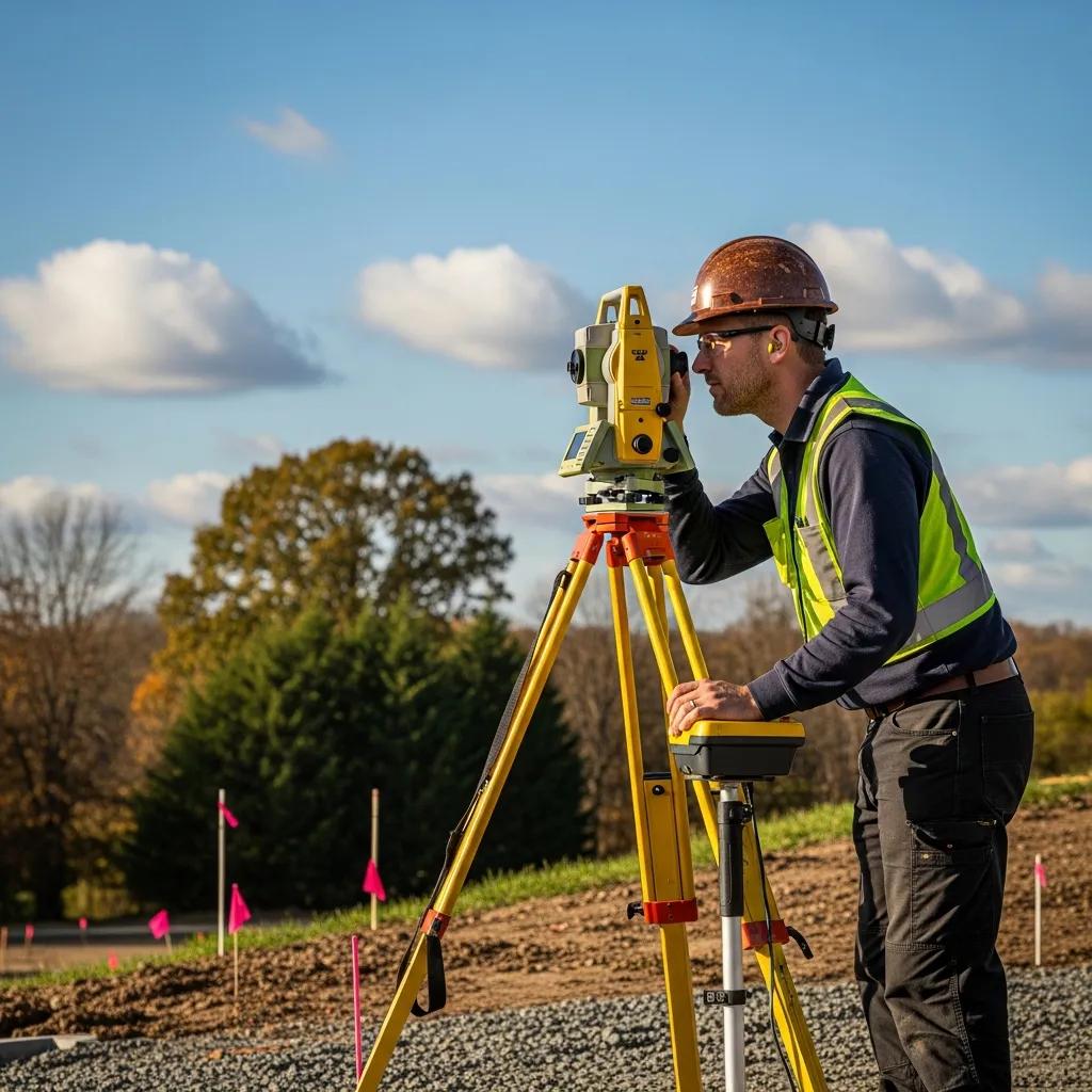
Topo, plats, staking and foundation surveys from one team, from lot purchase to framing.
This page also covers the unincorporated farm communities west of Spanish Fork, including Benjamin, Lake Shore and Palmyra, where many new homes are going up on former farm ground. Neighboring cities have their own pages.
Guides and services that go deeper than this page.
All of our Utah County survey work.
GuideWhat the surveyor does and what you get.
BuildingWhat the inspector checks after the pour.
Flood zonesFor homes near the river and mapped flood zones.
All surveysCompare survey types and starting prices.
Your propertySend the parcel number and your plan.
Questions we hear most from Spanish Fork homeowners and builders.
A boundary survey on a newer subdivision lot typically runs $1,025–$1,800. Older downtown lots and parcels with complicated deed histories usually run $1,800–$3,000 or more, and farm or acreage parcels $2,500–$6,000 or more. Every quote is a fixed fee in writing.
Some Spanish Fork parcels have been split, combined and resold many times, and older deeds may describe lines by a neighbor’s name rather than measurements. Untangling those records can account for half or more of the work on an older parcel, which is why we review records before quoting a firm fee.
Many building departments and lenders want the foundation’s location and elevation confirmed before framing. Send us your permit conditions and we’ll tell you what’s required. We do the same work in Salem, Benjamin, Lake Shore and Palmyra.
Depending on scope: monuments at your property corners, a written description, a stamped map showing lines, fences and buildings, and notes explaining how the boundary was determined.
Spanish Fork is in Utah County, so deeds, plats and prior surveys are held by the Utah County Recorder in Provo. We research them before fieldwork.
Yes. Utah Code Section 17-73-504 requires the surveyor to file a map of a boundary survey with the county within 90 days of establishing or re-establishing a boundary.
Most residential boundary surveys are delivered in 1–3 weeks from approval. Builders’ staking and foundation surveys are scheduled to the construction calendar.
Yes. Along with homeowner surveys, we provide topographic surveys, subdivision design and platting, construction staking and foundation surveys for builders across south Utah County.

Send the address or parcel number and what you’re planning. We’ll check the records, confirm the right survey and send a fixed fee before any fieldwork.