Boundary Surveys
Research the records, recover or set corner monuments and retrace the legal boundary for town lots, farms and acreage.
Boundary Survey Service →
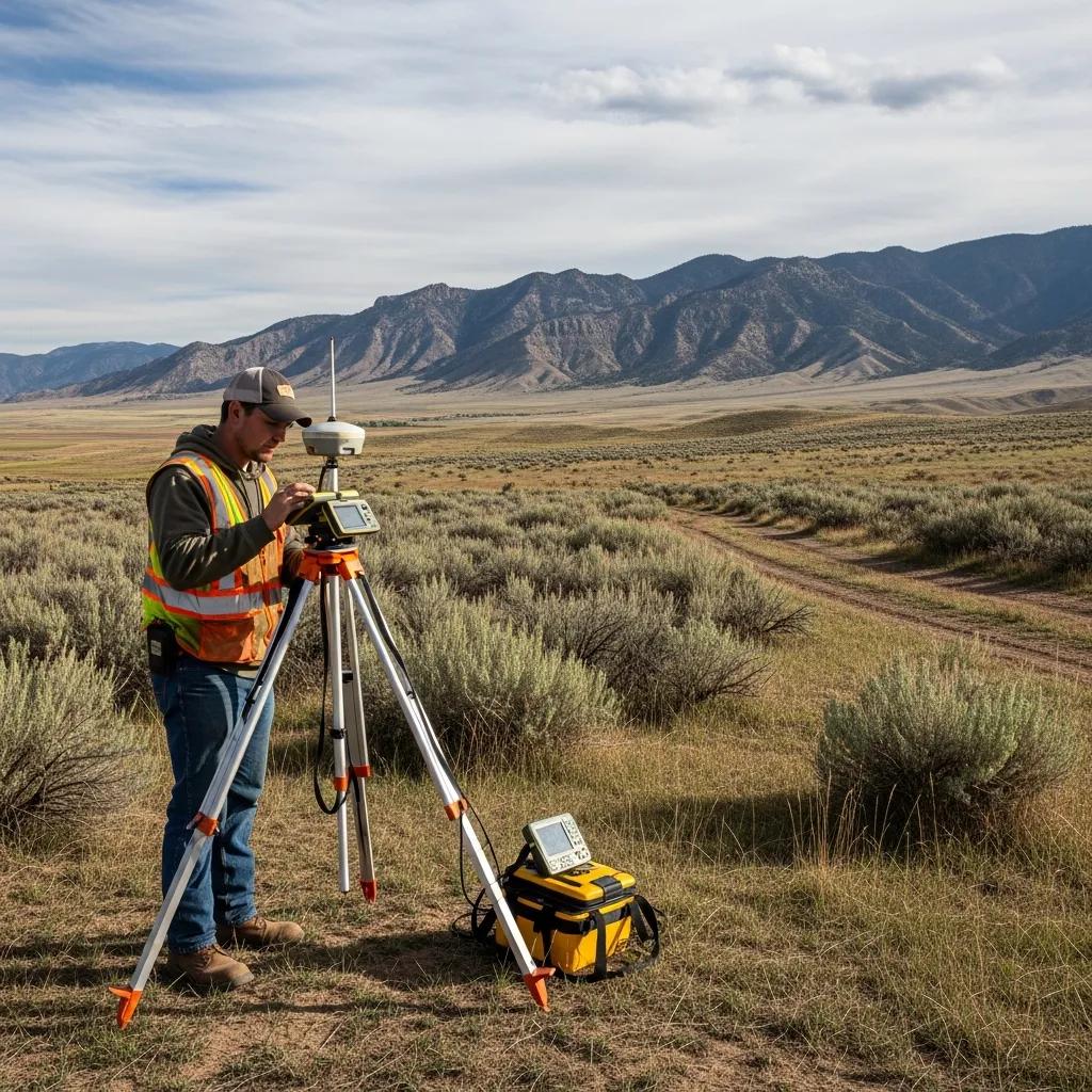
Boundary surveys, foundation and elevation surveys for building permits, topographic mapping, ALTA/NSPS surveys and drone mapping for homes, farms and industrial sites in Delta and across west Millard County.
Building a home, shop or addition? Many permits and lenders want a foundation survey showing where the structure sits on the lot and at what elevation. Putting up a fence, buying land, or settling a line question with a neighbor calls for a boundary survey. Designing a site, driveway or drainage needs a topographic survey. Commercial and industrial deals usually need an ALTA/NSPS survey, and dividing farm ground needs a lot split or subdivision plat.
Every survey is reviewed and stamped by a licensed Utah Professional Land Surveyor. The right service depends on whether the project involves legal lines, a building permit, design elevations or a title transaction.
Research the records, recover or set corner monuments and retrace the legal boundary for town lots, farms and acreage.
Boundary Survey Service →Locate a new foundation against property lines and setbacks, and record its elevation for permit and lender sign-off.
How foundation surveys work →Contours, elevations, ditches, structures and utilities for home design, grading, drainage and irrigation.
Topographic Survey Service →Title-grade surveys for lenders, title companies and buyers on commercial, agricultural and industrial property.
ALTA Survey Service →Aerial mapping and volumes for large farm parcels, pits and industrial sites.
Drone Surveying →Divide farm ground, plat new lots, and document finished construction.
Subdivision Platting →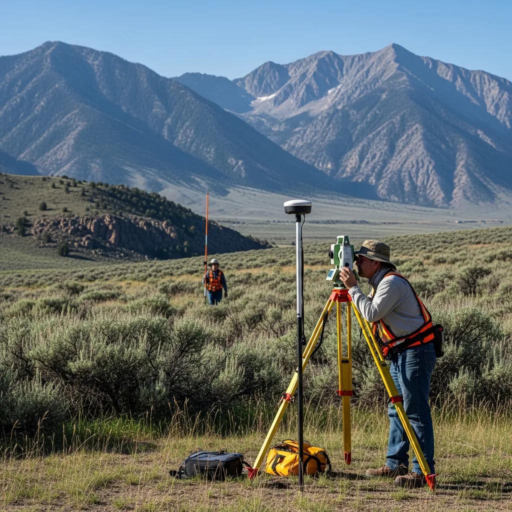
Delta sits in the Sevier Desert, where farms depend on canals fed by the Sevier River. Survey work here ranges from a town lot to a farm boundary running a mile along section lines, and most of it has to account for ditches, canal roads and easements that have been in place for generations.
When you build a new home, shop or addition, the building department or lender may want proof the foundation was placed where the approved plan says, at the right height. A foundation survey provides that proof before framing goes up.
Confirm the lot lines so the footprint and setbacks are measured from the real boundary, not a fence.
Set the building corners and a benchmark for the excavator and form crew. See construction staking.
Measure the foundation’s location and top-of-foundation elevation against the lines and setbacks.
A stamped drawing or letter for your builder, lender or inspector to keep the job moving.
A survey in west Millard County rarely looks like one in a new Wasatch Front subdivision. These conditions most often shape scope, schedule and price here.
Many parcels follow quarter-section and section lines for long distances, so recovering the right section corners is the first job.
Irrigation canals, ditch roads and headgates carry easements that matter for boundaries, topography and building placement.
Older farm and homestead deeds describe land by direction and distance, and often need careful retracement.
In-town lots may rely on early plats and long-standing fences that have to be reconciled with the record.
On very flat land, a few inches of elevation decide where water goes. Topography and foundation elevations matter.
Power, agricultural and industrial operations in the area need as-builts, volumes and title surveys built to tighter specs.
Deeds, recorded plats and prior surveys for Delta-area parcels are held by the Millard County Recorder at 50 South Main in Fillmore. We pull your deed and your neighbors’ deeds, look for earlier surveys, and tie the work to the Public Land Survey System section corners around your land.
Utah law then requires the surveyor to file a map of any boundary survey with the county surveyor or designated office within 90 days of establishing or re-establishing a boundary (Utah Code § 17-73-504), so the next surveyor can build on it.
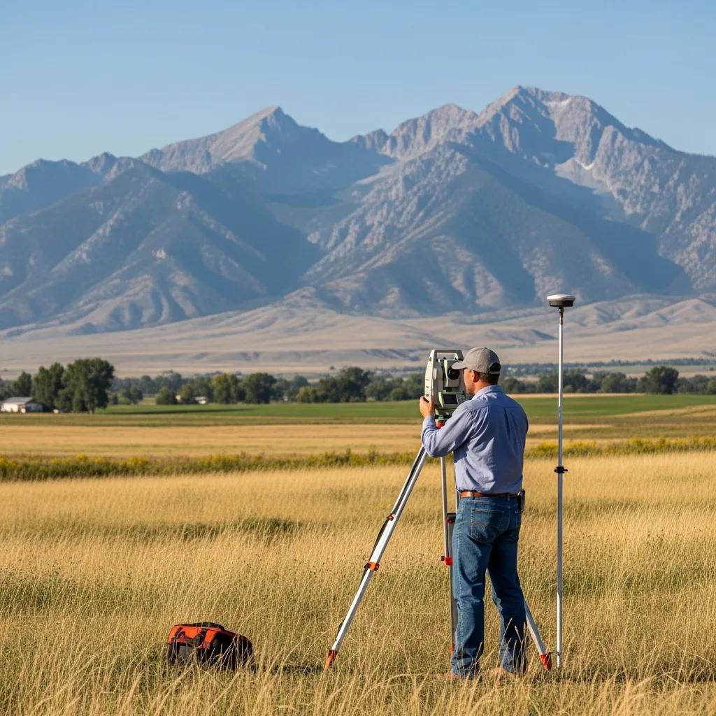
Splits, transfers, fence lines and irrigation planning on west Millard acreage all start with a reliable boundary.
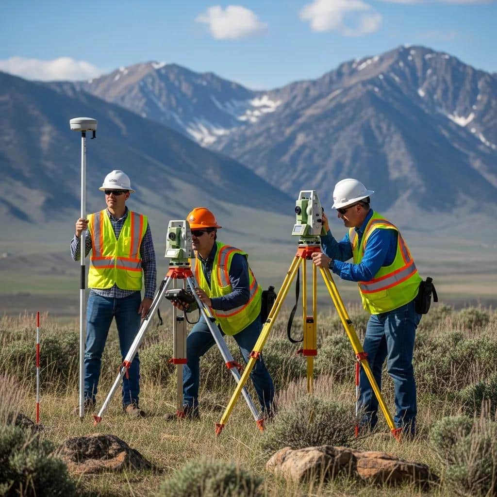
Lenders, title companies and operators often need ALTA surveys, as-builts and volume reports rather than a simple boundary.

A boundary survey retraces your legal property using both the written record and the evidence on the ground. A county parcel map or a phone GPS reading can’t tell you where the legal line is.
These are Utah planning ranges. Delta quotes also include travel from our Nephi office as a separate line item, and older descriptions or large acreage add research and field time. Every job is a fixed fee in writing.
| Survey Type | Typical Planning Range | Common Delta Use |
|---|---|---|
| Platted lot boundary survey | $1,025–$1,800 | In-town lot with a recorded plat: fence, addition, sale or corner question |
| Rural / acreage boundary survey | $2,500–$6,000+ | Farm, ranch or metes-and-bounds parcel with longer lines and more research |
| Boundary + topographic survey | $2,000–$4,500 | New home or shop needing legal lines and design elevations |
| Foundation / elevation survey | Quoted by scope | Permit, lender and inspection sign-off for new construction |
| ALTA / NSPS survey | Quoted by scope | Commercial, agricultural or industrial transactions |
| Drone mapping / volumes | Quoted by scope | Large acreage topography, pits and stockpiles |
The right survey depends on the decision you’re making. These are the combinations we see most often around Delta.
Start with a boundary survey before building a permanent fence on or near the line.
Boundary and topo for design, staking for layout, then a foundation survey for the inspector or lender.
Survey the parent parcel, then prepare the new description or a lot-line adjustment.
Confirm acreage, corners, access and canal easements before closing.
An ALTA/NSPS survey coordinated with the title commitment and lender requirements.
FHA and other lenders often need an engineer’s foundation certification.

Once crops are off and fields are open, corners and section monuments are easier to reach. Spring and summer are the busiest building months, so if you have a permit, closing or construction date, call early.
The field visit is only one step. Most of the professional judgment happens in research and analysis, where the record and the ground evidence are reconciled.
Address or parcel number, your goal and any deadline.
Deeds, plats, prior surveys and corner records from Millard County.
Recover monuments and measure by GPS, total station or drone.
Resolve the lines and prepare the map and legal description.
PLS review, delivery to you and filing with the county.
From our Nephi office we serve Delta and the rest of Millard County, plus neighboring Juab County. Travel is always disclosed in the quote.
This page covers land surveying in Delta. These pages go deeper on survey types, pricing, timelines and design.
Countywide surveying from Delta to Fillmore and Kanosh.
Property linesCorners, monument research and stamped survey maps.
Design surveyContours, elevations and existing conditions for design.
CommercialTitle surveys for lenders, buyers and title companies.
PricingPlanning ranges for every survey type.
ConstructionLay out foundations, roads and utilities before building.
Large sitesAerial mapping and volumes for big acreage and industrial sites.
EngineeringGrading, drainage, utilities and site design.
Your propertySend the address or parcel number, goal and deadline.
Common questions from Delta and Millard County homeowners, farmers, builders and operators.
A platted in-town lot typically runs $1,025–$1,800 and rural or acreage parcels $2,500–$6,000 or more, plus travel from Nephi shown as a line item. Boundary plus topographic usually runs $2,000–$4,500. Foundation, ALTA and drone work are quoted by scope.
Yes. Millard County is part of our regular service area from Nephi, including Delta, Hinckley, Deseret, Oasis, Sutherland, Lynndyl, Leamington, Oak City, Holden, Fillmore, Meadow and Kanosh.
Many building departments and lenders ask for one to confirm the foundation’s location and elevation before framing. Check your permit conditions, or send them to us and we’ll tell you what’s required.
Deeds and recorded plats are held by the Millard County Recorder at 50 South Main in Fillmore. We research those records, plus prior surveys and section corner records, before fieldwork.
Yes. Much of our Millard County work involves section-line parcels, older metes-and-bounds descriptions and irrigated land with canal and ditch easements.
Parcel maps are helpful references, but they’re not a legal boundary determination. For a fence, building, purchase or dispute, you need a field survey by a licensed surveyor.
A straightforward lot can often be done in a couple of weeks. Rural parcels with heavy research take longer. Tell us your deadline and we’ll give you a realistic date.
Yes. Utah Code § 17-73-504 requires the surveyor to file a map of a boundary survey with the county surveyor or designated office within 90 days of establishing or re-establishing a boundary.
Yes. Drone mapping is a fast way to collect topography and volumes on large rural or industrial sites. Legal boundary work is still done on the ground.
The property address or parcel number, what you’re trying to do and your deadline. A deed, prior survey, title report or permit conditions help if you have them.

Send the Delta property address or parcel number, what you’re trying to do and any permit, closing or construction date. We’ll confirm the right survey and a fixed fee before fieldwork begins.