
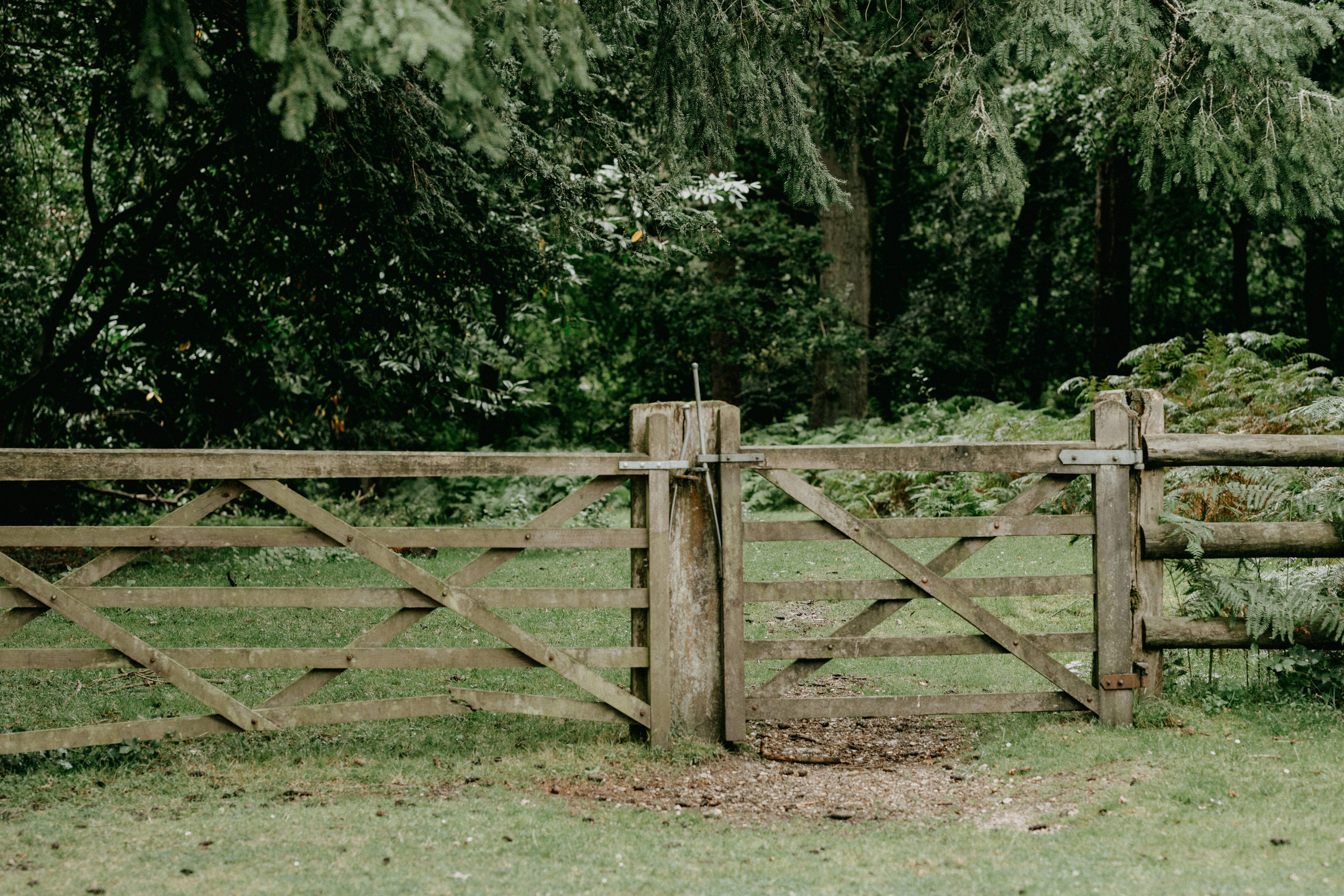
Essential Tips for Boundary Surveys in Utah
Are you having difficulty understanding where your property begins and ends? This post explains essential tips for boundary surveys in Utah and breaks down the process into clear steps. Readers will learn the significance of boundary surveys, the types available, and how to choose the right surveying company. The article also offers guidance on gathering documents and preparing for the survey, helping to reduce stress and uncertainty.
Key Takeaways
- clear property boundaries help guide site planning and prevent neighbor disputes
- precise boundary surveys ensure projects comply with local building regulations
- accurate survey data supports effective land development and risk reduction
- proper documentation facilitates dispute prevention and smoother survey processes
- detailed report reviews identify potential issues and support informed development decisions
Understand the Importance of Boundary Surveys in Utah
This section provides practical insights into boundary surveys in Utah. It examines how clear property lines help in planning future developments, occur without neighbor disputes, and adhere to local code requirements and regulations. These points offer essential guidance for property owners and ludlow surveying and ludlow engineers involved in site development and maintenance. For more information, visit our blog.
Clarify Property Lines for Future Developments
Accurate property boundaries assist project planners and ludlow engineers in establishing secure property limits, ensuring that future developments align with local planning guidelines in Utah. Property owners and engineers benefit from clear ludlow surveying results, reducing the risk of disputes during site preparation and construction phases. For more information, check out our blog.
Timely boundary surveys serve as a key step in preparing for development projects, as precise line determinations help predict future site changes and technical needs. By verifying property edges, ludlow engineers provide actionable information that supports proper project planning and compliance within Utah’s regulatory framework. For more insights, visit our blog.
Prevent Disputes With Neighbors Over Property Boundaries
Proper boundary surveys assist engineers, including ludlow engineers, in clearly establishing property lines, reducing the risk of litigations with neighbors when property adjustments or additions are in planning stages. Ensuring accurate settings of boundaries helps maintain neighbor relations and supports smooth project scheduling. For more insights, visit our blog on ludlow surveying.
Reliable survey data provide stakeholders with dependable verification of lots and are instrumental in resolving any disagreements on property divisions. This professional approach to land surveys in Utah by ludlow engineers offers practical support that property owners value when addressing potential neighbor conflicts. Additionally, our blog provides further insights into the surveying process.
Comply With Local Code Requirements and Regulations
Local code requirements and regulations guide survey procedures by ludlow surveying and area development in Utah. Compliant boundary surveys support property owners and ludlow engineers in meeting legal standards while ensuring projects align with state regulations. Visit our blog for more information.
Utah survey experts such as ludlow engineers provide precise measurements that safeguard property investments and adherence to construction guidelines. These procedures foster a solid understanding of property limits and support the effective planning of development projects. For more insights, visit our blog.
Land surveys define the space and ensure each parcel stands on firm ground. Next, the text shifts to outlining survey types that clearly mark these limits.

Identify the Types of Boundary Surveys Available
Review expert distinctions between ALTA and topographic surveys, evaluate the advantages of residential boundary surveys, and understand the practical uses of land title surveys. These topics offer concise insights that support accurate project planning for boundary surveys in Utah, ensuring property owners and ludlow engineers have reliable data for development and compliance. Visit our blog for more information on ludlow surveying.
Examine the Differences Between ALTA and Topographic Surveys
ALTA surveys provide detailed information on boundary lines, easements, and other property features conducted by ludlow engineers. The survey offers comprehensive data that meets specific title insurance standards, which supports clear property identification and planning for land development in Utah. For more insights, visit our blog.
Topographic surveys, such as ludlow surveying, focus on elevation, terrain, and natural features of the land. This type of survey helps engineers, including ludlow engineers, understand land contours and layout, which is useful for project design and implementation while ensuring compliance with state guidelines. For more information and updates, visit our blog.
Assess the Benefits of a Residential Boundary Survey
Residential boundary surveys by ludlow engineers offer precise property edge measurements that assist engineers and property owners in planning development projects. They provide accurate data that helps clarify land divisions and support compliance with Utah regulations, ensuring smooth project execution. For more information, visit our blog.
This type of survey delivers reliable results that minimize potential disputes over property lines and safeguard investments. The detailed information provided by ludlow engineers residential boundary surveys aids in resolving land ambiguities and promotes efficient site preparation in Utah. For more insights, visit our ludlow surveying blog.
Learn About Land Title Surveys and Their Uses
Land title surveys offer clear, accurate property information that benefits property owners and ludlow engineers alike in Utah. These surveys define legal boundaries and provide essential details for resolving title issues and supporting smooth development planning. For more information, check out our blog on ludlow surveying:
- Defining precise property lines
- Identifying easements and encroachments
- Supporting title verification for financing and insurance
Such surveys conducted by ludlow engineers equip stakeholders with reliable data that aids in effective site development and regulatory compliance. Trusted experts in the field rely on these measurements to safeguard investments and streamline project execution in Utah. For more insights, visit our blog.
The discussion shifts as the focus moves toward the necessary paperwork for a precise survey. The upcoming steps reveal key documents that solidify the survey’s accuracy.
Gather Essential Documents for Your Boundary Survey
Property owners should compile property deeds, previous survey records, local land use plans, zoning maps, and GIS data for accurate boundary surveys. This documentation prepares ludlow engineers to verify land details, streamline dispute prevention, and support regulatory compliance in Utah. For more insights, visit our blog. The following sections detail these topics for effective survey planning.
Compile Property Deeds and Previous Survey Records
Property deeds and previous survey records offer vital information required for ludlow surveying in Utah and help establish a clear record of legal property limits. These documents assist ludlow engineers in verifying property details and aid property owners in resolving disputes. For more information, visit our blog.
Survey professionals, including ludlow engineers, strongly recommend gathering all available documentation, which can be found on their ludlow surveying blog, to support an accurate boundary survey. This careful compilation of records reduces potential delays and helps maintain adherence to Utah’s standards for property development.
Review Local Land Use Plans and Zoning Information
Engineers and property owners benefit from examining local land use plans and zoning information to ensure boundary surveys conducted by ludlow engineers meet Utah standards. This process provides clear guidance for site development while preventing discrepancies in property divisions and regulatory adherence. Practical insights gained from local documents and the ludlow surveying blog bring assurance during planning and execution phases.
Reviewing regulatory maps and zoning data equips professionals, such as ludlow engineers and ludlow surveying, to incorporate precise survey results into project designs. For more information, check out our blog. Such analysis reduces future conflicts and helps identify potential adjustments required, ultimately fostering smoother project progress and accurate boundary verification in Utah.
Collect Maps and GIS Data Relevant to Your Property
Collecting maps and GIS data increases the accuracy of boundary surveys in Utah. Experts at ludlow engineers advise property owners and engineers to review recent maps and digital records to verify property limits and align measurements with local standards. For more information, visit our blog for insights on ludlow surveying.
Accessing updated GIS data can reduce survey discrepancies and streamline project planning. ludlow engineers note that utilizing such resources provides reliable support for decision-making and helps maintain compliance with Utah regulations. Visit our blog for more information on ludlow surveying.
Documents set the groundwork as a skilled surveyor prepares to work. The next step is to find a company that fits your project’s needs in Utah.

Choose the Right Surveying Company in Utah
Research survey qualifications and experience, request client references, and read reviews on our blog to ensure dependable results in Utah boundary surveys. Compare estimates with ludlow engineers to secure the best value and support effective development planning. These focused steps guide property owners and engineers toward reliable ludlow surveying professionals and smooth project execution.
Research Qualifications and Experience of Surveyors
Survey professionals such as ludlow engineers recommend verifying a surveyor’s credentials and years of field experience to ensure reliable boundary survey results. Property owners can benefit from reviewing professional licenses, certifications, and client testimonials to make an informed decision when selecting ludlow surveying survey services in Utah. Additionally, reading our blog can provide further insights.
Engineers and developers at ludlow engineers value surveyors who have a proven track record in handling diverse land projects, as this expertise contributes to precise measurements and efficient project management. A thorough evaluation of previous project outcomes and professional achievements featured on our blog builds confidence in the ludlow surveying’s ability to meet project requirements and local regulatory standards.
Request Client References and Read Reviews
Survey professionals recommend verifying client feedback through the blog to gain insight into a surveying company’s track record and commitment to quality work. Reading reviews and requesting references helps property owners and ludlow engineers confirm that the survey firm, ludlow surveying, meets regulatory standards and has a history of delivering precise boundary survey results in Utah.
Industry experts suggest using client references to validate a company’s expertise before initiating any project. Reviews from past clients of ludlow engineers provide practical examples of successful projects, guiding property owners in making informed decisions that support effective and timely site developments. Additional insights can be found on their blog or through ludlow surveying.
Compare Estimates to Find the Best Value
Survey professionals advise evaluating different estimates to ensure that the survey service from ludlow engineers fits within the budget while meeting local standards for accuracy. This approach helps property owners identify competitive pricing and select a company that can complete the labor on time and with reliable precision. For more insights, visit our blog or check ludlow surveying for detailed information.
Comparing estimates allows ludlow engineers to assess the range of services offered and determine the best overall deal for ludlow surveying boundary survey projects in Utah. By reviewing detailed quotes on their blog, decision makers gain clarity on cost breakdowns and can make informed choices that align with both project requirements and financial goals.
The next step beckons: learn the methods that secure every property’s edge. Prepare to engage with the boundary survey process and gain practical insight into the work at hand.

Prepare for the Boundary Survey Process
Ensure your property is prepared for Utah boundary surveys by marking key features ahead of time, clearly communicating with the surveying team, including ludlow engineers, and being present on survey day for updates and questions. Visit our blog for additional tips. These steps provide practical insights that support efficient, accurate ludlow surveying and help property owners achieve reliable results.
Mark Key Features on Your Property Beforehand
Before initiating a boundary survey, property owners are advised to clearly mark permanent structures, driveways, and any unique landscape features. This preparatory step ensures survey professionals from ludlow engineers receive accurate orientation data for the Utah boundary survey process and helps reduce the risk of miscommunication during the site assessment. For more information, visit our blog.
Clearly identifying these elements on the property allows survey teams from ludlow engineers to work efficiently and obtain precise measurements, thereby minimizing delays. Such organization supports the overall project planning, ensuring that all key features align with established ludlow surveying records and local standards, as outlined in our blog.
Term:
Communicate Clearly With the Surveying Team
Clear communication with the surveying team and ludlow engineers fosters a smooth process and helps property owners understand the details of the boundary survey. Concise discussions about measurement methods, ludlow surveying, project timelines, and potential challenges prove valuable and allow engineers to bring expert perspectives to the planning stage. For more insights, visit our blog.
Effective dialogue with the ludlow engineers survey team ensures that each step of the ludlow surveying boundary survey process is understood and agreed upon by both parties. This professional coordination, as discussed in our blog, assists in preventing miscommunication and delays, thereby supporting a successful project execution that meets Utah standards.
Be Present on Survey Day for Updates and Questions
Being present on survey day allows property owners to receive real-time updates on the boundary survey process conducted by ludlow engineers in Utah. This presence ensures that any questions or concerns are addressed immediately, resulting in a more accurate and reliable ludlow surveying outcome. For more information, visit our blog.
This active involvement assists in clarifying measurement methods and understanding how property limits are verified. Staying engaged on the day of the survey with ludlow surveying builds trust with the ludlow engineers and contributes to the overall success of the project. For more insights, visit our blog.
The survey is nearly finished, and fresh details arise. The new marks invite a closer look at what they reveal.
Understand the Results of Your Boundary Survey
Read and interpret the survey map and report by ludlow engineers to identify key boundary details and any notable issues. Experts advise using these findings from our blog for sound property development decisions. This section outlines how to assess potential survey concerns while applying detailed data from ludlow surveying towards project planning and land improvements in Utah.
Read and Interpret the Survey Map and Report
Understanding a survey map involves examining precise boundary lines, property dimensions, and design features. The report by ludlow engineers offers detailed data on legal property limits and specifications essential for compliance and planning. For more information, visit our blog.
**ludlow engineers** and property owners assess the report for any discrepancies and ensure that all measurements are accurate and current. Detailed data analysis includes review of **ludlow surveying** map symbols, distances, and legal property lines. Visit our blog for more information:
Recognize Any Potential Boundary Issues or Concerns
Professionals at ludlow engineers review survey maps to detect any misalignments or discrepancies that could indicate potential boundary issues, ensuring that all measurements are accurate and adhere to Utah standards. This careful examination allows engineers to identify ambiguities early and plan corrective actions quickly. For more information, visit our blog.
Expert surveyors from ludlow engineers advise thorough analysis of reported measurements and property markers to recognize any concerns that may impact future construction projects. Their insights, often shared on our ludlow surveying blog, help property owners address potential risks and ensure that site developments proceed without legal or regulatory conflicts.
Use the Survey Findings for Property Development Decisions
The survey findings from ludlow engineers equip stakeholders with precise boundary measurements that support sound property development decisions. Skilled professionals use the recorded data to evaluate potential issues and guide project planning, making it easier to adhere to local standards and streamline construction efforts. For more information, visit our blog.
Accurate survey reports by ludlow engineers assist decision makers in identifying site modifications necessary for effective land use, ensuring that project designs align with established regulatory criteria. This practical insight, as discussed in our blog, simplifies the planning process and fosters confidence in the overall development strategy, offering tangible benefits for property advancement in Utah.
Frequently Asked Questions
What is the purpose of a boundary survey in Utah?
A boundary survey in Utah defines property limits, ensuring accurate land records and reducing legal disputes while providing reliable markers for civil project planning and development.
What types of boundary surveys are available in Utah?
Ludlow Engineering offers evidence-based boundary surveys including property corner, lot line, and subdivision surveys, providing Utah clients with clear survey data that precisely delineates property boundaries and supports reliable land ownership records.
Which documents should be gathered for a boundary survey?
A boundary survey typically requires the property’s deed, legal description, existing survey plats, and chain-of-title documents to verify history and boundaries.
How can one choose the right surveying company in Utah?
Selecting a firm with proven expertise, certified professionals, and a strong local record is key. Ludlow Engineering delivers trustworthy land survey and civil engineering services in Utah, ensuring precise project outcomes and client satisfaction.
What details do boundary survey results provide?
Boundary survey results offer property data including lot measurements, corner markers, and any site encroachments, aiding planning and resolving issues.
Conclusion
Boundary surveys offer property owners and engineers a reliable framework for future developments and dispute prevention. Clear surveys support effective project planning by providing precise boundary lines and avoiding legal conflicts. The use of detailed maps and comprehensive documentation enhances compliance with Utah regulations. These practical insights empower stakeholders to secure investments and streamline development processes.