Rebar With a Cap
Steel rebar driven into the ground with a plastic or aluminum cap stamped with the surveyor’s license number or firm.

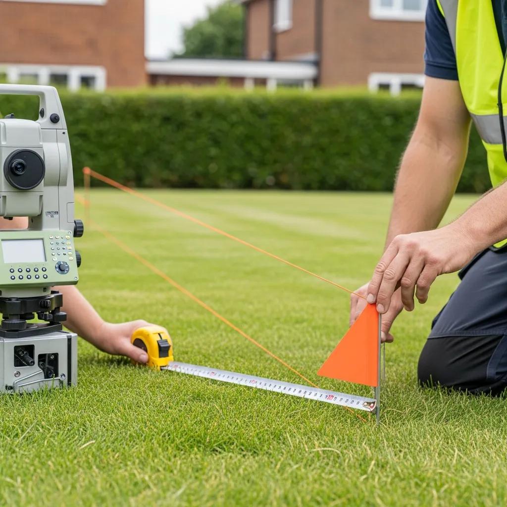
What your property corner markers look like, how to find them, what disturbs them on Alpine’s hillside lots, and how a licensed surveyor re-establishes a corner that’s gone missing.
Your deed and plat describe your property lines on paper. Corner markers, also called monuments or pins, show where those lines are on the ground. They’re the physical evidence a surveyor relies on, and when they’ve been set by a licensed surveyor and shown on a filed survey, they carry real weight if a neighbor ever questions the line. That’s why a missing or moved marker matters more than it might seem.
Markers vary by era and setting. In Alpine’s subdivisions, capped rebar is by far the most common.
Steel rebar driven into the ground with a plastic or aluminum cap stamped with the surveyor’s license number or firm.
Hollow pipe, sometimes capped, common on older lots and rural parcels.
A stamped disk set in concrete, a curb or a sidewalk.
A nail with a stamped washer or tag where a pin can’t be driven.
Set nearby when the true corner falls in a wall, tree or rock, with the offset noted on the survey.
Brass caps and stone monuments marking section corners that subdivision plats tie to.
You can often find your markers before calling anyone. Just remember that finding a pin isn’t the same as confirming your line.
Your subdivision plat or a prior survey from the Utah County Recorder shows lot dimensions.
Start at a street corner or a marker you can see, and measure along the lot line.
Pins are often a few inches below grass, gravel or landscaping. Probe gently.
Mark what you find. A surveyor can confirm whether it’s original and undisturbed.
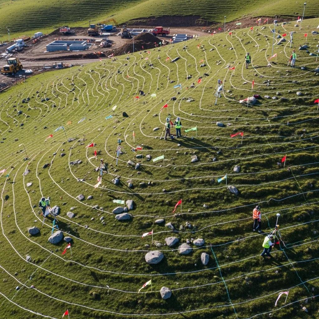
Alpine’s large lots climb into the foothills below Lone Peak. Retaining walls, regrading, rock landscaping and long fence runs are common, and every one of them is a chance for a corner marker to be buried, bent or pulled out.
Most missing corners weren’t stolen or lost. They were disturbed by ordinary work on the lot.
Pins get buried under topsoil, rock beds or new lawn, or hit by equipment.
Walls on sloped lots are often built right where a corner sits.
Post holes and fence lines frequently disturb or replace pins.
Flatwork and curb work can cover or remove markers near the street.
Pins in rocky ground or shallow soil can heave or lean over time.
Older surveys and later lot changes can leave conflicting markers.
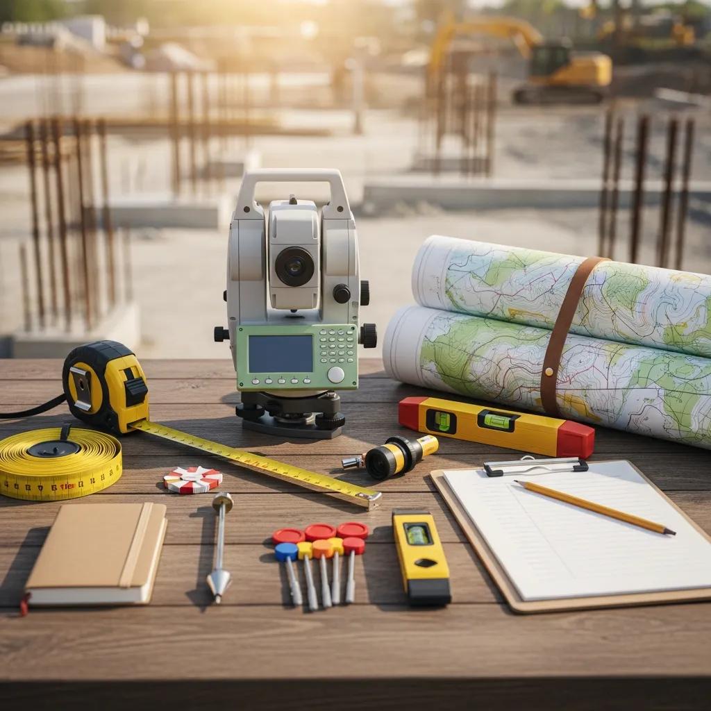
A surveyor doesn’t simply measure from one pin and set another. The goal is to put the corner back where it was originally established, using the best evidence available.
What you find on the ground is a clue, not a verdict. Here’s how a surveyor would read common situations.
| What You Found | What It May Mean | What to Do |
|---|---|---|
| Capped pin where the plat says | Likely an original or prior survey corner | Leave it; photograph the cap number |
| Bare rebar, no cap | Could be a corner, or construction rebar | Don’t rely on it without a survey |
| Two pins close together | Two surveys disagreed, or one was reset | Have a surveyor sort out which controls |
| Leaning or bent pin | Likely disturbed by equipment or frost | Don’t straighten it; call a surveyor |
| Pin inside a fence line | The fence isn’t on the line | Survey before replacing the fence |
| Nothing at all | Buried, removed or never set | Order a boundary survey |
Most Alpine boundary disagreements start with a fence, wall or driveway that one neighbor thinks is over the line. A current, stamped boundary survey replaces guesses with evidence, and is usually enough to settle the question between neighbors.
If two surveys still disagree, the surveyors can compare their evidence. Neighbors can then record a boundary line agreement, or consult an attorney if needed.
From your call to new capped markers and a filed map.
Address or parcel number and which corners you need.
Plat and prior surveys checked before we quote.
Full survey or targeted corner work, priced in writing.
Corners recovered, verified or re-set and flagged.
Stamped map to you, filed with Utah County.
Services and guides that go deeper than this article.
Our survey services for Alpine property owners.
ServiceCorners found or set, lines confirmed and filed.
GuideUtah’s rules and process in more depth.
FencesWhy a fence isn’t always on the line.
CostWhat boundary surveys cost and why.
NearbySurvey services in nearby north Utah County.
Questions Alpine homeowners ask most about pins and property lines.
Most corners set in the last few decades are steel rebar with a plastic or aluminum cap stamped with the surveyor’s license number or company name. You may also find iron pipes, brass or aluminum disks set in concrete or curbs, and nails with washers in pavement.
Start with your subdivision plat or a prior survey from the Utah County Recorder, measure from a known point such as a street corner, and search with a metal detector. Pins are often a few inches below the surface. Finding a pin is a good start, but only a surveyor can confirm it’s undisturbed and in the right place.
No. Never move, remove or reset a survey monument. Only a licensed Professional Land Surveyor can re-establish a corner, and disturbing a monument can create a dispute or legal liability.
A licensed surveyor re-establishes the corners from the deed, recorded plat, prior surveys and surviving monuments nearby, sets new capped monuments and files a map of the survey with the county.
A full boundary survey starts at $1,025. If a recent filed survey exists and only one or two corners were disturbed, resetting them can cost less. We review the records and quote a fixed fee before any fieldwork.
Not necessarily. Fences are often built inside or outside the true line. A boundary survey shows both the legal line and where the fence sits relative to it.
Two surveys can disagree when they rely on different evidence or records. The surveyors can compare their work, and if a true conflict remains, neighbors can record a boundary line agreement or seek legal advice.
Yes. Utah Code Section 17-73-504 requires the surveyor to file a map of the survey with the county within 90 days of establishing or re-establishing a boundary.

Send the Alpine address or parcel number and tell us which corners you need. We’ll check the records and send a fixed fee to locate or reset them.