

Residential Land Surveyors in Mount Pleasant Utah — Clear, Reliable Property Surveys
Accurate residential land surveys protect homeowners in Mount Pleasant, Utah by defining property lines, revealing easements, and clarifying how the land can be used. Below we explain why surveys matter, outline the services provided by Ludlow Engineers and Associates, and show how professional surveying helps avoid disputes and smooth real estate transactions. You’ll also find practical information on what affects cost and how long surveys typically take so you can plan with confidence.
Why Residential Land Surveys Matter for Mount Pleasant Homeowners
A residential land survey gives you legal clarity about where your property begins and ends, reduces the risk of neighbor disputes, and documents existing conditions of the land. For homeowners, a reliable survey protects property rights, supports property transfers, and provides a defensible record if questions arise later. land surveys
What Unique Challenges Does Mount Pleasant’s Topography Present?
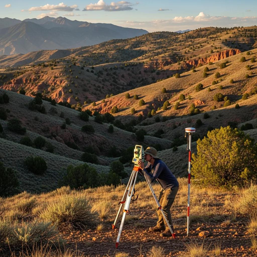
Mount Pleasant’s rolling elevations, rock outcrops, and native vegetation can obscure corners and complicate measurements. Slopes affect line-of-sight and require careful set-up; rock and brush can hide old markers. Our team adapts by combining field reconnaissance, precise instruments, and local knowledge to produce accurate, defensible surveys.
How Do Residential Surveys Prevent Property Disputes?
Surveys reduce conflict by clearly locating corners and documenting boundary lines on an official map. That map and accompanying report serve as evidence if disagreements arise and help neighbors settle questions before costly disputes or legal action become necessary. You can learn more about boundary survey.
What Residential Land Surveying Services Does Ludlow Engineering Provide in Mount Pleasant?
Ludlow Engineers and Associates delivers services tailored to homeowners: boundary and property line surveys, staking, and ALTA/NSPS land title surveys when a comprehensive title report is needed. Each service is prepared to meet local standards and client needs.
How Do Boundary Surveys Define Property Lines Accurately?
Boundary surveys combine historical record research with field measurements using GPS, total stations, and precise leveling. We locate deeds and monuments, measure between control points, and reconcile field data with recorded information to establish accurate, legally sound boundaries.
What Is Included in Property Line Surveys and Staking?
Property line surveys identify exact parcel dimensions, locate existing markers, and produce a certified drawing. Staking places visible markers on the ground at corners or along lines so owners and contractors can clearly see where the legal boundary lies.
How Do ALTA and FHA Foundation Inspections Support Residential Transactions in Mount Pleasant?
ALTA/NSPS surveys and FHA foundation inspections address different lender and title requirements. ALTA surveys give lenders and title companies a detailed picture of the property, while FHA foundation inspections evaluate structural soundness for FHA-backed loans. Together they reduce closing risk and help buyers and sellers move forward with confidence.
When Is an ALTA Survey Required for Residential Properties?
Lenders or title companies often request an ALTA/NSPS survey when financing is involved or when the transaction is complex. These surveys document boundaries, easements, easement improvements, and potential encroachments so buyers and lenders understand any title-related constraints.
What Are FHA Foundation Inspections and Their Importance?
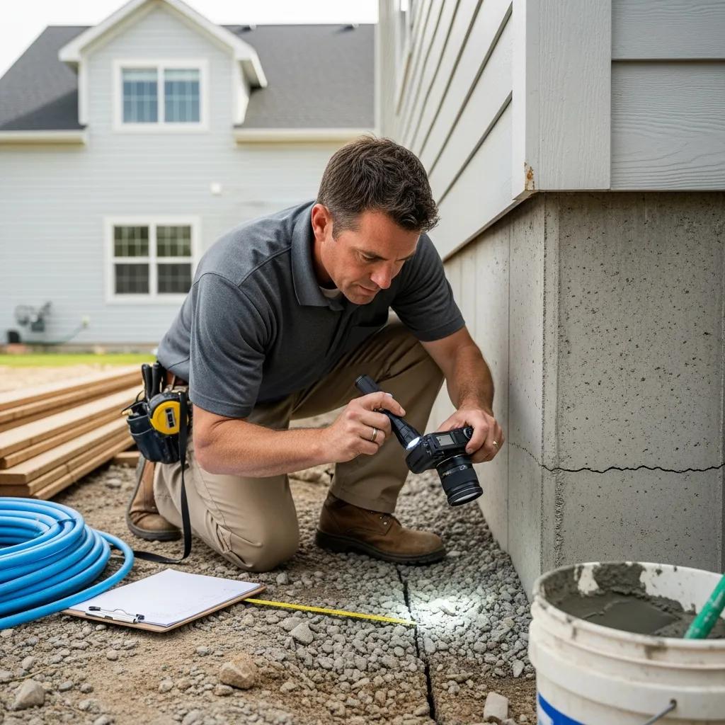
FHA foundation inspections assess whether a home’s foundation meets HUD standards for FHA financing. Inspectors look for structural issues, settlement, or damage that could affect safety or value. Identifying problems early helps buyers negotiate repairs or adjust expectations before closing.
What Factors Influence the Cost and Duration of Residential Land Surveys in Mount Pleasant?
Survey price and timing vary with property size, complexity, access, and record availability. Local permitting and weather can also affect schedules. Knowing these drivers helps homeowners budget and plan the survey process.
How Does Property Size and Complexity Affect Survey Pricing?
Larger parcels, steep terrain, dense vegetation, or properties with many improvements require more time and equipment, which increases cost. Complicated title histories or the need for extensive record research can also add to the fee.
What Is the Typical Timeline for Completing a Residential Survey?
Most residential surveys are completed within a few days to a few weeks. Simple lots with clear access and records come together quickly; complex sites or surveys that need municipal checks may take longer. We’ll give you a realistic timeline when you request a quote.
How Does Ludlow Engineering Ensure Quality and Client Satisfaction in Mount Pleasant?
We prioritize accuracy, clear communication, and compliance with local standards. Our reports are prepared for clarity and defensibility so homeowners, lenders, and title companies can rely on the results.
What Experience and Local Expertise Does Ludlow Bring?
With decades in the field, Ludlow Engineers and Associates knows the region’s survey traditions, record systems, and site challenges. That local experience helps us resolve boundary questions efficiently and produce surveys that stand up to scrutiny.
How Does the Survey Process Provide Peace of Mind?
A certified survey removes uncertainty about property limits and site conditions. When you receive a clear, professionally prepared map and report, you can plan construction, sales, or land use decisions with confidence.
Where Can Mount Pleasant Residents Find More Information and Request Residential Survey Services?
If you’d like detailed information or a quote, Ludlow Engineers and Associates is available to help. We’ll explain requirements, timelines, and what information we need to get started.
How to Request a Quote for Residential Land Surveying?
To request a quote, contact Ludlow Engineers and Associates with the property address, parcel size, and any existing documents you have (deeds, prior surveys, or title reports). We’ll review the details and provide a prompt, written estimate and expected schedule.
Frequently Asked Questions
What qualifications should I look for in a residential land surveyor?
Choose a surveyor who is licensed in your state, has relevant experience with local properties, and can provide references. A professional surveyor will carry liability insurance and deliver a signed, certified survey drawing.
How can I prepare for a residential land survey?
Gather deeds, prior surveys, and title information before the survey. Clear heavy brush or debris near likely boundary areas if possible, and make a note of any fences or markers. Being available to answer questions speeds the process.
What should I do if I disagree with the survey results?
First, discuss your concerns with the surveyor so they can explain methods and findings. If questions remain, you can request a review or a second opinion from another licensed surveyor. Prompt, documented communication helps resolve discrepancies.
Are there any specific regulations for land surveys in Mount Pleasant?
Yes. Local and state regulations set standards for surveys, deliverables, and licensing. Work with a surveyor familiar with Mount Pleasant’s requirements to ensure the survey meets local approvals and recording standards.
How often should I have my property surveyed?
Get a new survey when you buy or sell, before building or placing a fence, or if you suspect an encroachment or boundary change. Otherwise, surveys are typically conducted as needed when ownership or land use changes.
What are the differences between a boundary survey and a topographic survey?
A boundary survey establishes legal property lines and corner locations. A topographic survey maps elevations, contours, and site features—useful for design and drainage planning. Sometimes both are combined when projects require it.
Conclusion
Residential land surveys give Mount Pleasant homeowners the clarity and protection they need when buying, selling, building, or resolving boundary questions. Ludlow Engineers and Associates provides experienced, locally knowledgeable surveying services tailored to each property. Contact Ludlow Engineering to request a quote and take the first step toward a clear, dependable record of your property.