Comprehensive Property Boundary & Land Survey Services in Payson Utah
A property land survey in Payson Utah establishes the precise legal and physical boundaries of a parcel of land, creating definitive data that supports real estate transactions, permits, and construction projects. This article explains what a land survey does, why Payson and Utah County owners need accurate surveys, how surveyors determine and mark property lines, and the common survey types used locally such as boundary surveys, ALTA/NSPS title surveys, and topographic mapping. Many property owners face unclear deed descriptions, development requirements, or title company requests; a professional survey resolves uncertainty by combining deed research, field control, and monumentation to produce a signed plat and field notes. Readers will get actionable guidance on choosing a qualified Payson land surveyor, a clear checklist of deliverables, an EAV table describing what each deliverable shows and the owner benefit, plus cost drivers and sample estimate steps so you can request a site-specific quote. Throughout the guide we reference local processes like Utah County Recorder filings and Payson City planning considerations to make surveys directly applicable to landowners and developers.
What Is a Property Land Survey and Why Is It Important in Payson Utah?
A property land survey is a professional measurement and mapping process that defines property boundaries and records improvements, easements, and encroachments; it combines title research with field measurement to deliver legally defensible results. In Payson Utah this service matters because local plats, deed descriptions, and municipal permit requirements rely on precise surveys to protect ownership, enable transfers, and support construction approvals. Accurate surveys reduce risk in real estate transactions by identifying discrepancies between deeded lines and physical conditions, which helps title companies and lenders evaluate title risk and easements. Understanding this role explains when a survey is required and helps owners see why investing in an accurate ALTA survey prevents disputes.
How Does a Land Surveyor in Payson Utah Define Property Boundaries?

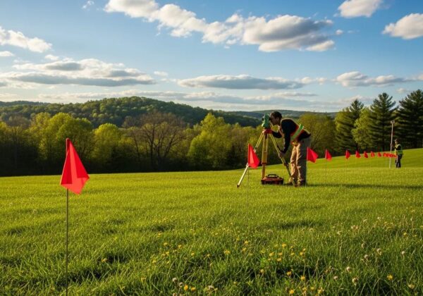
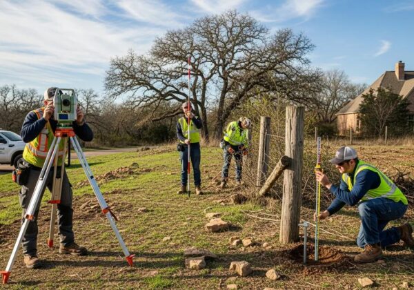
A Payson land surveyor defines property boundaries by first researching deeds, plats, and the Utah County Recorder archives to understand legal descriptions and recorded monuments, then correlating that record evidence with field control points. In the field, surveyors establish horizontal and vertical control using GPS, total stations, or robotic instruments to measure distances and angles relative to known control points, producing accurate coordinate-based locations for corners. The team then attempts to locate existing physical monuments or property pins and, when absent, sets new monuments in accordance with local practice and state standards to create durable reference marks. This combined record-to-field methodology reduces ambiguity and produces a signed land surveys and field notes that title companies and municipalities accept as authoritative.
What Are the Common Types of Land Surveys Used in Payson Utah?
Payson property owners commonly order boundary surveys to verify property lines, ALTA/NSPS land title surveys for commercial transactions and lender requirements, and topographic surveys for site planning and engineering design. Boundary surveys focus on locating deed lines and placing monuments, while ALTA surveys follow national standards and often include certification for title companies and lenders; topographic surveys map elevations, contours, and site improvements to support grading and drainage design. Other hyponyms you’ll encounter locally include construction staking surveys for builders and easement surveys for utility and access rights—each survey type matches a specific project purpose and regulatory trigger in Payson City planning and Utah County permitting.
How to Choose the Right Land Surveyor in Payson Utah?
Choosing a Payson land surveyor means verifying licensure, local experience, clear deliverables, and communication—factors that directly affect survey quality and usefulness for title, permitting, and construction. Look for a professional who understands Utah County Recorder procedures and local plat histories, can produce sealed plats and field notes suitable for recording, and who explains scope, exclusions, and turnaround time in writing. Evaluating these qualifications reduces the chance of rework or rejection by title companies and municipal reviewers, which saves time and cost during transactions and development. The next section provides a short checklist of specific qualifications, certifications, and reputation checks to use when comparing local firms.
- Verify the surveyor holds a current Utah professional land surveyor license and carries professional liability insurance.
- Confirm experience with Utah County Recorder filings, Payson City planning submittals, and local plat research.
- Request sample plats, field notes, and references for similar projects to evaluate technical quality and clarity.
Selecting a surveyor based solely on price risks hidden exclusions or incomplete deliverables; instead, prioritize firms that produce recordable plats and clear data packages that support your intended use.
What Qualifications and Certifications Should Payson Utah Land Surveyors Have?
A qualified Payson surveyor should hold a Utah professional land surveyor license, demonstrate familiarity with ALTA/NSPS standards when required, and be experienced with Utah County Recorder filing practices. Professional licensure ensures the surveyor adheres to state practice acts and ethical standards, while familiarity with ALTA/NSPS indicates competence for commercial title work that lenders and title companies require. Ask prospective firms about their experience with local plats, typical turnaround times, sample deliverables, and whether they coordinate with title companies or Payson City planning staff—these operational details affect how smoothly a survey integrates into your transaction or permit process. Clear answers about these items provide confidence in both technical competency and local procedural knowledge.
How Do Customer Reviews and Local Reputation Impact Surveyor Selection?
Customer reviews and local reputation offer practical evidence of responsiveness, accuracy, and clarity in deliverables, which often correlates with how well a surveyor navigates Payson-specific challenges like older plats or monument relocations. Look for consistent feedback about timely site visits, thorough deed research, and easily understood plats; ask for references from recent projects similar to yours so you can confirm results and post-survey recordation. Reputation matters when projects must pass Payson City review or when title companies demand document clarity—surveyors who regularly interact with these entities tend to anticipate questions and avoid common pitfalls. Use reviews and referrals as one decision factor alongside verified qualifications and sample deliverables.
What Is Included in a Payson Utah Boundary Survey and How Does It Protect Your Property?
A Payson boundary survey typically includes title and deed research, a field survey locating corners and improvements, monumentation or property pins, a signed survey plat suitable for recording, and detailed field notes that document measurements and evidence. These deliverables provide a legal and physical record that protects owners by clarifying boundary lines, identifying encroachments, and establishing monuments for future reference. When disputes arise, a recorded plat and signed field notes serve as authoritative evidence of the surveyor’s findings and methodology; they also facilitate transactions by giving title companies the information needed to underwrite policies. The following table compares common deliverables and their direct benefits to property owners.
This table summarizes typical boundary survey deliverables and why each item matters to owners.
These deliverables work together to both prevent boundary disputes and to provide title companies and municipal reviewers with verifiable data required for closings and permits.
How Are Property Lines Verified and Marked in Payson Utah Boundary Surveys?
Property lines are verified by correlating deed and plat evidence from the Utah County Recorder with precise field measurements taken using GPS, total stations, or robotic total stations, then locating or setting monuments at corner positions. If original monuments exist, the surveyor documents their condition and relationship to recorded evidence; if not, new monuments are set to established standards to create reliable physical markers. The plat documents these monuments and recommends preservation measures such as avoiding disturbance and recording the plat so markers become part of the public record. Following verification and monumentation, owners receive guidance on preserving markers and may be advised to check markers before construction or landscaping to avoid inadvertent encroachment.
When Is a Boundary Survey Required for Property Transactions in Payson Utah?
Boundary surveys are commonly required for property sales, refinances, subdivisions, lot-line adjustments, and building permits; title companies and lenders often request them to resolve ambiguities and ensure clear title. For subdivision or new construction, Payson City planning and Utah County permitting processes may demand a recent survey to verify lot sizes, setbacks, and easements before approvals proceed. Even when not strictly required, ordering a boundary survey before purchase or major improvements protects buyers and owners by exposing encroachments, easements, or deed inconsistencies that could affect use or value. Recognizing these triggers helps owners plan surveys proactively to avoid delays and reduce transaction risk. Boundary survey services are available to assist with these needs.
What Is an ALTA Survey in Payson Utah and When Is It Needed?
An ALTA/NSPS land title survey is a detailed, standardized survey specifically designed for commercial transactions, lender requirements, and title insurance underwriting, incorporating national standards and optional surveyor certifications. In Payson Utah, ALTA surveys are typically requested by title companies, lenders, or buyers engaged in commercial purchases, financing, or complex site development where a comprehensive depiction of rights, easements, and improvements is essential. The ALTA standard requires both specific field checks and coordination with a title commitment to identify recorded exceptions, making ALTA surveys more exhaustive than typical boundary surveys and giving lenders greater confidence in the property’s title and physical condition. This distinction explains when to order an ALTA surveys versus a standard survey.
- ALTA surveys follow national NSPS and ALTA standards and often include additional client-requested items and certification language.
- They require review of a current title commitment and coordination with title companies to list exceptions and endorsements.
- ALTA surveys are generally used for commercial purchases, refinances, and situations where lender or underwriter certainty is required.
Because ALTA surveys include explicit certification and broader scope, they reduce title risk for lenders and buyers and support complex commercial due diligence.
How Does an ALTA Survey Differ from a Standard Land Survey?
ALTA surveys differ from standard boundary surveys by following ALTA/NSPS national standards, requiring coordination with a title commitment, and often including additional items such as utilities, rights-of-way, and surveyor certifications that lenders or title companies require. Standard boundary surveys focus primarily on property lines and monuments for a residential or simple transaction, whereas ALTA surveys document improvements, easements, flood zone information (if requested), and provide specific certification language tied to title underwriting. The expanded meronyms in an ALTA report—such as utility locations, parking areas, and detailed encroachment analysis—create a more complete picture for commercial stakeholders and underwriters, which typically results in higher cost but greater transaction certainty.
What Are the Benefits of an ALTA Survey for Commercial Properties in Payson Utah?
ALTA surveys provide commercial buyers, sellers, and lenders with a comprehensive depiction of property rights, easements, and physical conditions that affect development, financing, and title insurance, reducing legal and underwriting risk. By identifying recorded and visible easements, potential encroachments, and improvements, ALTA surveys help developers and lenders plan around constraints and negotiate terms based on factual site conditions. For Payson commercial projects, this clarity accelerates due diligence, supports lender confidence, and helps avoid costly surprises during closing or construction. Owners and developers use ALTA results to inform site design, coordinate with architects and civil engineers, and to secure the endorsements lenders require for financing.
How Much Does a Land Survey Cost in Payson Utah?
Survey costs in Payson Utah vary by survey type, lot size and geometry, terrain and vegetation, and the complexity of record research; understanding these drivers helps owners budget and request accurate quotes. A clear cost estimate begins with identifying the survey type—boundary, ALTA, topographic, or construction staking—since an ALTA survey typically costs more due to additional scope and certification requirements. Site characteristics such as steep slopes, dense vegetation, long access distances, and the condition of existing monuments increase field time, while extensive historical research in Utah County Recorder archives raises record research time. The following EAV table breaks down typical survey types, their primary cost drivers, and example price ranges to help owners compare options before requesting an on-site estimate.
Below is a compact comparison of common survey types, influential cost drivers, and typical price range examples useful for preliminary budgeting.
This table clarifies how each survey’s scope and site factors affect budget planning; for an accurate quote, a site visit and specific project details are required.
Call For Service
What Factors Influence Land Survey Costs in Payson Utah?
Primary drivers of survey cost include the type of survey ordered, lot area and complexity, terrain and vegetation density, need for deep record research at the Utah County Recorder, and any required coordination with Payson City planning or title companies. Lot geometry with many irregular lines or easements requires more measurement and analysis, while heavily treed or steep parcels increase field time and safety requirements, adding to cost. If original monuments are missing and must be set, materials and staking increase the price; similarly, ALTA surveys demand title commitment review and extra certification steps that raise fees. Understanding these factors allows owners to control costs by providing records and clarifying required deliverables upfront.
How to Get Accurate Land Survey Cost Estimates in Payson Utah?
To obtain an accurate estimate, provide the surveyor with the deed, existing plat, parcel ID, and any title commitment you have, and request a site visit so the surveyor can evaluate access, terrain, and monument conditions before issuing a written quote. A practical checklist for preparing an estimate includes sharing project purpose (sale, refinance, development), desired deliverables (signed plat, digital CAD files), and timeline constraints so the surveyor can scope work and quote appropriately. Requesting a written scope that itemizes tasks, exclusions, and an expected timeline reduces surprises and enables direct comparison between firms. After the on-site assessment and document review, the surveyor will issue a site-specific estimate reflecting the precise drivers for your Payson property.
- Provide deed, plat, parcel ID, and any title documents to the surveyor.
- Schedule a site visit for field assessment of access, terrain, and monument conditions.
- Request a written proposal with scope, exclusions, timeline, and fee breakdown.
Prompt preparation and transparent communication streamline the estimating process and yield reliable quotes for your decision-making.
What Are the Key Features of Commercial Land Surveys in Payson Utah?
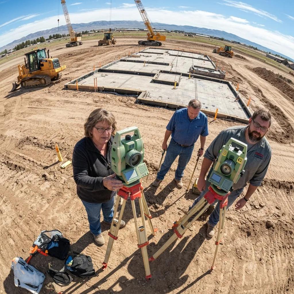
Commercial land surveys in Payson bundle several specialized services—ALTA/NSPS surveys, detailed topographic mapping, utility and easement locates, and construction staking—to support permitting, design, and financing for development projects. These surveys coordinate closely with civil engineers, architects, and Payson City planning to ensure the data meets permitting requirements and design needs, delivering both recordable plats and digital deliverables such as CAD or GIS files for integration into design workflows. By providing precise horizontal and vertical control, utility mapping, and improvement locations, commercial surveys reduce permitting delays and inform cost estimates for site preparation and infrastructure—benefits that translate directly into project feasibility and schedule certainty.
How Do Commercial Land Surveys Support Business Development in Payson Utah?
Commercial surveys supply the factual site data developers need to evaluate feasibility, design options, and permitting timelines by identifying constraints such as easements, floodplains, and setback requirements early in project planning. Accurate survey data enables civil engineers to model grading, drainage, and utility layouts, accelerating Payson City review and minimizing rework during engineering design. For lenders and investors, professional ALTA and topo deliverables increase confidence during due diligence and underwriting, making financing and approvals more predictable. These practical outcomes help projects proceed on schedule and within budget.
What Specific Services Are Included in Commercial Land Surveys?
Commercial survey packages typically include ALTA/NSPS title surveys, topographic mapping with contours and spot elevations, utility and easement mapping, boundary verification and monumentation, and construction staking for building and site work. Additional services may include coordination with title companies for endorsements, flood elevation determinations, and provision of digital deliverables (CAD/GIS) for design teams. These services provide both the legal record and the technical data required for permitting, design, and construction, ensuring that owners, developers, and contractors work from consistent, survey-grade information.
- ALTA/NSPS survey for title and lender requirements.
- Topographic survey for grading, drainage, and site design.
- Construction staking to translate design into field control.
These bundled services ensure commercial projects in Payson proceed from accurate, regulatory-compliant data into design and construction phases inUtah County.