
Professional Land Surveying Company in Fairview Utah: Expert Boundary and Topographic Surveys
Land surveying is a critical service that ensures accurate property boundaries and topographic details, essential for various real estate and construction projects. In Fairview, Utah, professional land surveying companies provide expert services that help clients navigate property lines and land use planning effectively. This article will explore the various services offered by land surveyors in Fairview, the benefits of choosing a local company, and the specific types of surveys available, including boundary and topographic surveys. Additionally, we will discuss how to verify property lines and resolve boundary disputes, ensuring you have the knowledge needed for successful property transactions.
What Services Does a Fairview Utah Land Surveyor Provide?
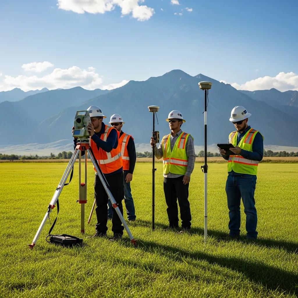
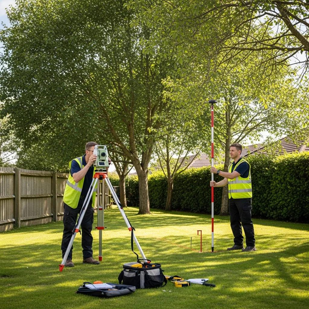
Land surveyors in Fairview, Utah, offer a range of services that are essential for property development and real estate transactions. These services include boundary surveys, topographic surveys, and ALTA/NSPS Land Title Surveys, each serving a unique purpose in the land surveying process. Understanding these services can help property owners make informed decisions regarding their land.
How Are Boundary Surveys Conducted to Define Property Lines?
Boundary surveys are conducted to establish the precise location of property lines. This process involves several steps:
- Research: Surveyors begin by researching public records to gather information about the property and its historical boundaries.
- Fieldwork: Using specialized tools, surveyors measure distances and angles on-site to determine the exact location of property lines.
- Documentation: After completing the fieldwork, surveyors prepare a detailed report that includes maps and legal descriptions of the property.
This meticulous process ensures that property lines are accurately defined, which is crucial for avoiding disputes and ensuring compliance with local regulations.
What Is Included in a Topographic Survey in Fairview Utah?

Topographic surveys provide detailed information about the land’s features, including elevation changes, natural and man-made structures, and vegetation. Key components of a topographic survey include:
- Contour Lines: These lines represent elevation changes and help visualize the terrain‘s slope.
- Land Features: Surveyors map significant features such as trees, buildings, and water bodies.
- Utilities: Information about existing utilities, such as water, sewer, and electrical lines, is also included.
Topographic surveys are essential for planning construction projects, as they provide valuable insights into how the land can be utilized effectively. Topographical survey are essential for planning construction projects, as they provide valuable insights into how the land can be utilized effectively.
Why Choose a Local Land Surveying Company in Fairview Utah?
Choosing a local land surveying company in Fairview, Utah, offers several advantages that can enhance the accuracy and efficiency of surveying projects. Local surveyors possess a deep understanding of the area‘s geography and regulations, which can significantly impact the surveying process.
What Are the Benefits of Hiring a Surveyor Familiar with Fairview’s Terrain?
A surveyor familiar with Fairview’s terrain can provide insights that are crucial for accurate surveying. They understand the local topography, which can affect property boundaries and land use. This local knowledge helps in identifying potential challenges, such as steep slopes or water drainage issues, that may not be apparent to surveyors from outside the area.
How Does Local Expertise Improve Survey Accuracy?
Local expertise improves survey accuracy by ensuring that surveyors are aware of specific regulations and practices unique to Fairview. This familiarity allows them to navigate local zoning laws and land use planning effectively, reducing the risk of errors that could lead to costly delays or disputes.
How Does an ALTA Survey Differ from Other Property Surveys in Fairview Utah?
ALTA/NSPS Land Title Surveys are comprehensive surveys that provide detailed information about a property. They differ from standard boundary surveys in several ways.
What Specific Information Does an ALTA Survey Provide?
ALTA surveys include detailed information such as: ALTA surveys
- Boundary Lines: Precise measurements of property boundaries.
- Easements: Identification of any easements that may affect the property.
- Improvements: Documentation of any structures or improvements on the land.
- Zoning and Flood Zone Information: Often included to assist in due diligence.
This level of detail is essential for lenders and title companies during property transactions, ensuring that all aspects of the property are thoroughly evaluated.
When Is an ALTA Survey Required for Property Transactions?
ALTA surveys are often required for commercial property transactions, especially when financing is involved. Lenders typically request these surveys to ensure that they have a complete understanding of the property and any potential issues that could affect its value or usability.
How Can You Verify Property Lines and Resolve Boundary Disputes in Fairview Utah?
Verifying property lines and resolving boundary disputes is a critical aspect of land ownership. Understanding the steps involved can help property owners navigate these challenges effectively.
What Steps Are Involved in a Boundary Survey to Confirm Property Lines?
To confirm property lines, a boundary survey typically involves: boundary survey.
- Initial Assessment: Surveyors assess the property and review existing documentation.
- Field Measurements: Accurate measurements are taken on-site to establish boundaries.
- Final Report: A comprehensive report is prepared, detailing the findings and providing a legal description of the property.
How Can a Land Surveyor Assist in Legal Boundary Disputes?
Land surveyors play a crucial role in legal boundary disputes by providing expert testimony and documentation. They can help clarify property boundaries and provide evidence in court if necessary. Their expertise is invaluable in resolving conflicts between property owners and ensuring that disputes are settled fairly.
Land surveying is an essential service for anyone involved in real estate or property development in Fairview, Utah. By understanding the various types of surveys available and the benefits of hiring a local land surveying company, property owners can make informed decisions that protect their investments and ensure compliance with local regulations. For more information about land surveys, visit our website.