Buying or Selling Property
Confirm what's actually included before closing. Lenders and title companies often ask for one.

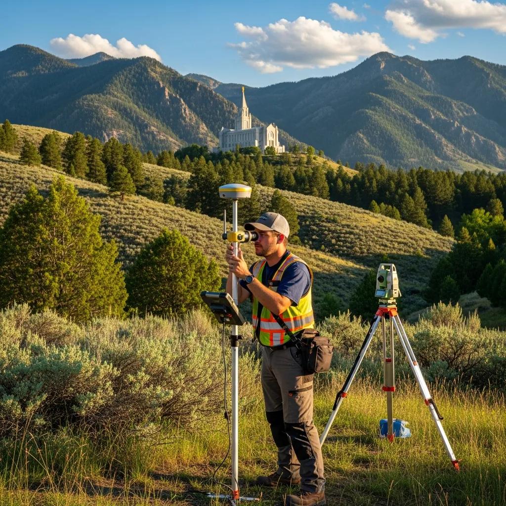
A boundary survey locates the legal lines and corners of your parcel on the ground. We research the record, recover or set the corner monuments, and deliver a stamped survey map and legal description you can build, buy, sell or settle a dispute on. Performed by licensed Utah Professional Land Surveyors from our Nephi office, statewide.
A boundary survey is a licensed surveyor's determination of where a property's legal lines and corners actually sit on the ground.
The surveyor researches your deed, the adjoining deeds, recorded plats and prior surveys; recovers the monuments that mark the corners; measures the parcel; and reconciles what's on paper with what's on the land. Missing corners are set with durable monuments, and the result is a stamped map of your boundaries, not an estimate.
That is different from a parcel map on a county website or a line you judge from an old fence. Neither is a legal boundary determination. In Utah, only a licensed Professional Land Surveyor can locate and certify a property boundary, and the survey map must be filed with the county surveyor.
These are the situations that most often send Utah owners, buyers and builders to a boundary survey. If yours isn't listed, call and describe the project. We'll tell you if a different survey fits better.
Confirm what's actually included before closing. Lenders and title companies often ask for one.
Make sure the improvement sits inside your lines and respects setbacks. See our fence line guide.
Recover corners that were never set, were disturbed, or can't be found. See re-establishing lost corners.
Establish the legal line before a disagreement becomes a lawsuit. See handling line disputes.
The boundary is the starting point for any split, lot-line adjustment or subdivision plat.
Many Utah jurisdictions want a current survey for a permit, and a shed or driveway may already cross a line.
Every boundary survey follows the same core sequence. Most of the professional judgment happens in steps 2 and 4, where the record and the evidence on the ground have to be reconciled.
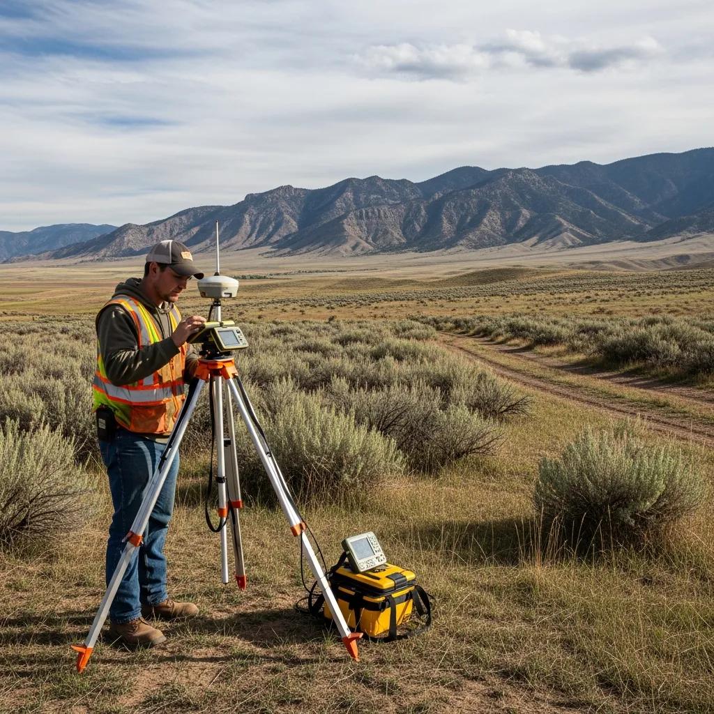
Metes-and-bounds acreage in Juab, Sanpete, Millard and Sevier counties often traces back to old deeds, fence lines and section corners. Resolving those lines takes records research and field evidence, not just a GPS reading, which is why local experience matters.
The value of a boundary survey is that it holds up. Every deliverable below is prepared to Utah standards and backed by a licensed surveyor's stamp.
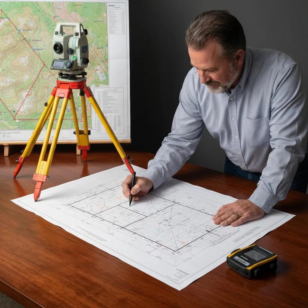
Cost follows the research, fieldwork and drafting the parcel requires. These are current Utah planning ranges; every job is quoted as a fixed fee in writing before work starts.
| Parcel type | Typical Utah cost | What drives it |
|---|---|---|
| Platted subdivision lot | $800 – $2,500 | Recorded plat and nearby monuments usually make research and fieldwork efficient. |
| Rural, metes-and-bounds or acreage | $2,500 – $6,000+ | Older descriptions, more county research, longer lines and more corners to set. |
| Boundary + topographic survey | $2,000 – $4,500 | Adds elevations and site features for design. See topographic surveys. |
| Complex, disputed or lost-corner work | Quote-based | Conflicting records, missing monuments or litigation needs extra analysis. |
Two parcels of the same size can differ a lot in cost. These are the variables we look at when we price your survey.
A deed, plat, title report or prior survey can shorten research. See the checklist below.
You get a defined scope and fee before any fieldwork. Travel outside our core counties is shown as a line item.
If you'll design or build, adding a topographic survey during the same visit is usually cheaper than ordering it later.
Boundary work is the one survey where being slightly wrong is expensive. A faulty line can lead to:

A boundary survey isn't always mandatory, but it's frequently needed, and Utah law is specific about who may perform one and what happens to the map afterward.
Utah requires a land surveyor licensed under the state's Professional Engineers and Professional Land Surveyors Licensing Act. That licensure gives the survey standing for recording, permits and disputes.
When a boundary is established or re-established, the surveyor must file the survey map with the county surveyor within 90 days. It becomes a public record the next surveyor can rely on.
Monuments a licensed surveyor sets must be durably marked with the firm's registered name or "L.S." and the surveyor's registration number, so anyone can trace who set them.
We survey year-round, but Utah's seasons affect how quickly monuments can be found and how busy field crews are. Planning ahead is the easiest way to protect a closing or construction date.
Snow and frozen ground can hide or bury monuments and slow corner searches, especially on rural parcels.
Building season starts and demand rises. Order before your fence, addition or foundation work is scheduled.
Best ground conditions and longest days, but also the busiest months. Give yourself lead time.
Vegetation dies back and conditions are usually good before snow. A strong time for rural acreage.
You don't need all of these. The first two are enough to start; the rest help us confirm scope and can reduce research time.
We're based in Nephi, so Juab, Utah, Sanpete, Millard and Sevier counties are core territory. We also travel to the Wasatch Front, eastern Utah and southern Utah; travel is shown as a line item in your quote.
Ludlow Engineering and Land Surveying was founded in Nephi in 1975 and is now in its second generation, with Professional Land Surveyors and Professional Engineers on staff.
Local survey pages:
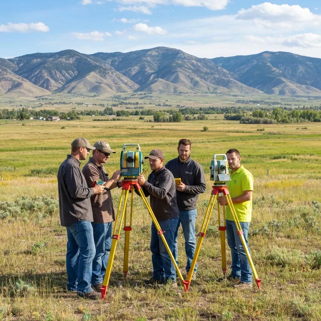
Because our surveyors and engineers work together, the same team that locates your lines can prepare the topographic survey, site plan, lot split or civil design that comes next, without starting over with a new firm.

A boundary survey is only as good as the records and standards behind it. These are the sources we work from, and where you can verify them yourself.
The questions Utah property owners ask us most before ordering a boundary survey.
A platted subdivision lot typically runs $800–$2,500. Rural, metes-and-bounds or large acreage parcels run $2,500–$6,000+ because they take more research and field time. Boundary plus topographic usually runs $2,000–$4,500. Complex or disputed work is quoted individually, and every job is a fixed fee in writing.
A straightforward platted lot can often be turned around in a couple of weeks. Rural parcels with heavy county research or difficult access take longer. Tell us your deadline and we'll give you a realistic date.
A boundary survey locates your property lines and corners. An ALTA/NSPS survey is a commercial boundary-and-title survey prepared to a national standard, with Table A items and certifications that lenders and title insurers require. For most residential needs, a boundary survey is the right choice.
Yes. In Utah, only a licensed Professional Land Surveyor can locate and certify a property boundary, and the survey map must be filed with the county surveyor. A neighbor's fence or a county parcel map is not a legal boundary determination.
Yes. We research the record, tie in to PLSS section corners and prior surveys, measure the evidence on the ground, and re-establish the corner in its correct position with a marked monument.
A boundary survey establishes where the legal line is, which resolves most disagreements before they escalate. If a formal dispute is underway, a stamped survey and legal description is the evidence your position rests on.
Utah law requires the surveyor to file the survey map with the county surveyor within 90 days of establishing or re-establishing a boundary. It becomes a public record. A new legal description may also be recorded with a deed when needed.
We're based in Nephi and work statewide. Utah, Juab, Sanpete, Sevier and Millard counties are core territory, and we regularly travel to the Wasatch Front and southern Utah. Travel is shown as a line item in the quote.
This page covers boundary and property-line surveys. These pages cover the broader survey types, costs and next steps.
Send your address and what you're trying to do. We'll confirm the right scope, a fixed fee and the next available field date.