Land Survey Costs: Real-World Price Ranges and 7 Factors That Can Change Your Quote
Knowing what a land survey will cost matters whether you’re buying, selling, developing, or resolving a boundary issue. This guide lays out the main drivers of survey pricing, explains common survey types, provides typical Utah price ranges for 2024, and walks through seven factors that commonly change a quote. For project-specific guidance, see our land and property survey costs.
What Is a Land Survey and Why Is It Essential for Property Owners?
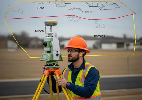
A land survey records precise measurements of a property—its boundaries, dimensions, and key features. It shows exactly where your property begins and ends, identifies easements and improvements, and flags possible encroachments. Reliable surveys matter for clear title, smoother real estate transactions, correct permitting, and preventing costly disputes. In short: a thorough survey protects your property rights and keeps projects moving forward. Learn more about our land surveys.
How Do Different Types of Land Surveys Affect Cost and Purpose?
Surveys are built for specific needs. A Boundary Survey confirms property lines. An ALTA/NSPS Land Title Survey is more detailed for commercial closings, documenting easements, rights-of-way, and title-related items. Topographic surveys map elevations and site features for design and construction. Each type differs in scope and cost, so picking the right survey keeps your quote accurate and your project efficient.
Why Accurate Land Surveys Provide Legal and Financial Peace of Mind
Accurate surveys lower risk. They reduce boundary disputes that can lead to expensive legal action and give buyers and lenders confidence in a property’s limits and restrictions. A clear survey also documents easements and rights-of-way so you know any limits on use. That clarity protects your investment and helps transactions and projects move smoothly.
What Are the Average Land Survey Costs in Utah for 2024?
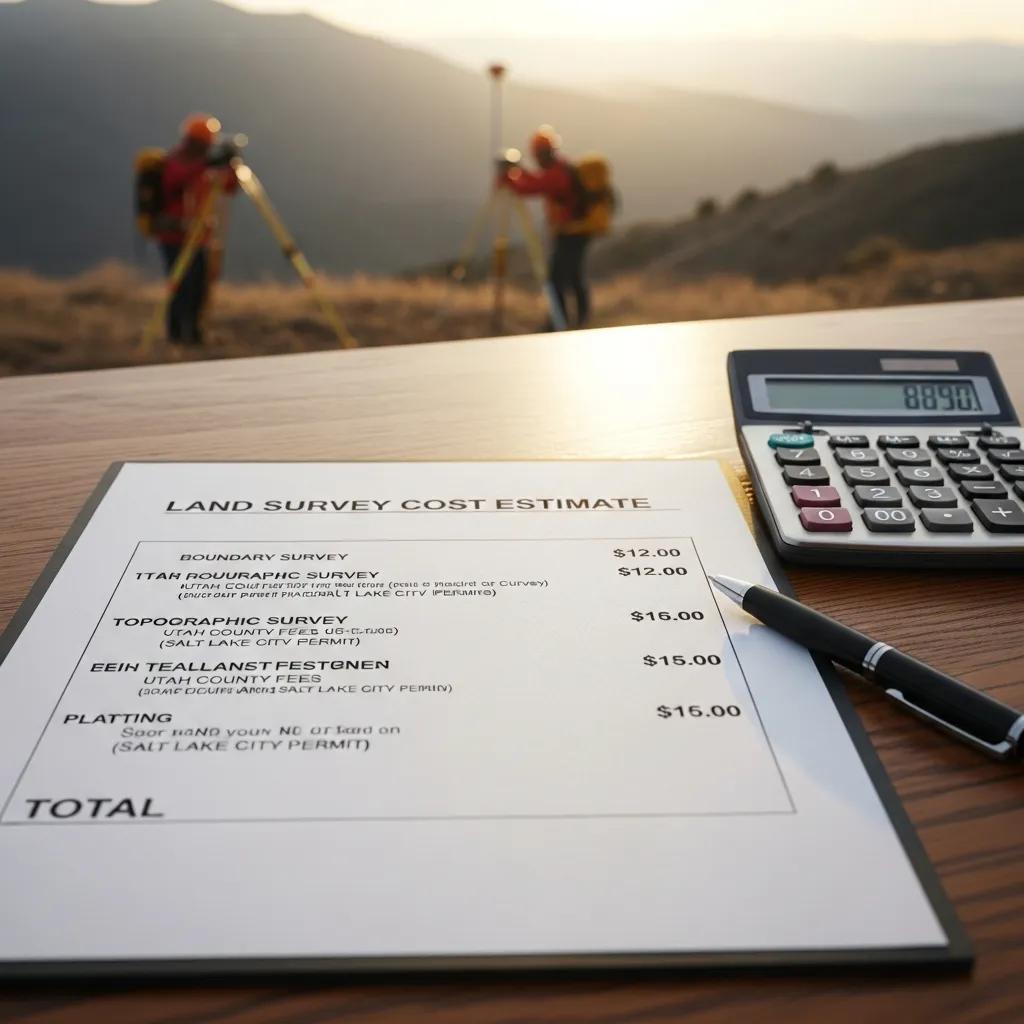
In 2024, typical land survey costs in Utah depend on the survey type and site conditions. Standard residential surveys often fall between $350 and $1,500, while more complex work—especially commercial or ALTA/NSPS surveys—can exceed $2,000. Use these ranges to budget and compare quotes realistically.
How Do Boundary, ALTA, and Topographic Surveys Compare in Price?
Costs scale with complexity. Boundary surveys are generally the most affordable; ALTA/NSPS surveys cost more because they require detailed research and documentation. Topographic surveys typically fall between those ranges and vary with terrain and density of features. The table below summarizes common cost brackets:
What Local Factors Influence Survey Pricing Across Utah Counties?
Local rules and geography affect price. Urban sites often cost more due to tighter regulations and denser development; rural sites can be less expensive but may present access or terrain challenges. Mountains, waterways, and other conditions add time and equipment needs. Knowing county requirements and the site’s ground conditions helps set realistic expectations.
What Are the 7 Key Factors That Change Your Land Survey Quote?
Several predictable variables shape the final survey price. Understanding them helps you plan and compare quotes more intelligently.
How Does Property Size and Acreage Impact Survey Costs?
More acreage means more field time. A small residential lot usually costs less to survey than a large commercial parcel because crews and equipment need more time to cover larger areas. Be clear about total area when you request estimates so your quote matches the work required.
In What Ways Do Terrain Complexity and Accessibility Affect Pricing?
Site conditions matter. Steep slopes, heavy timber, dense brush, or limited access slow crews and may require special equipment. Expect higher costs when the land is difficult to reach or traverse.
Why Does the Type of Survey Required Influence Your Quote?
Different surveys deliver different outputs. A Boundary Survey is focused and usually quicker. An ALTA/NSPS survey requires title research, tighter standards, and more documentation, which increases cost. Choose the survey that matches your legal and project needs to avoid paying for unnecessary work.
How Does Availability of Existing Records Change Survey Expenses?
When plats, deeds, and previous surveys are available, research time drops and costs can be lower. Sparse or conflicting records force surveyors to dig deeper—adding time and expense. Share any existing documents you have to speed the process and reduce surprises.
What Role Do Location and Local Regulations Play in Cost Variations?
Jurisdictions differ in required deliverables and approvals. Zoning, permitting, and environmental rules can require extra detail or reporting and increase cost. Knowing local requirements up front helps you avoid last-minute work and added fees.
How Does Urgency and Project Timeline Affect Survey Pricing?
Need it fast? Expedited work typically comes with a premium. Rush requests, tight closing deadlines, or construction schedules that demand quick turnarounds can raise the quote. Plan ahead when possible to avoid rush fees.
Why Do Surveyor Experience and Technology Used Impact Your Quote?
Experience and equipment matter. Senior surveyors and firms with deep local knowledge often charge more, but they reduce risk and deliver dependable results. Modern tools—drones, GPS, and 3D scanners—can speed fieldwork and improve accuracy; those capabilities are reflected in pricing. Weigh cost against the value of accuracy and fewer surprises down the road.
How Can You Get an Accurate Land Survey Quote from Ludlow Engineers?
Clear details and open communication lead to dependable quotes. The more information you provide, the more accurate the estimate we can give.
What Information Should You Provide for a Detailed Survey Estimate?
When you request a quote, include the following:
- Property Location: Exact address or GPS coordinates.
- Survey Type: Tell us which survey you need (Boundary, ALTA/NSPS Land Title, Topographic, etc.).
- Property Size: Total area and any parcel dimensions you know.
- Existing Records: Any prior surveys, deeds, or plats you can share.
How Does Ludlow Engineers Ensure Transparent and Reliable Pricing?
Ludlow Engineers issues clear, itemized estimates that define the scope, list assumptions, and call out variables that might change cost. We explain what’s included and what could add time or expense so you can budget with confidence.
Why Choose Ludlow Engineers for Your Land Survey Needs in Utah?
Choosing the right firm matters. We combine local knowledge with practical service to deliver surveys that stand up to title searches, permitting, and construction needs.
How Does Over 45 Years of Local Experience Benefit Your Survey Project?
With more than 45 years serving Utah, Ludlow Engineers understands local regulations, common boundary issues, and typical site challenges. That experience helps us spot problems early and keep your project moving—saving time and avoiding costly delays.
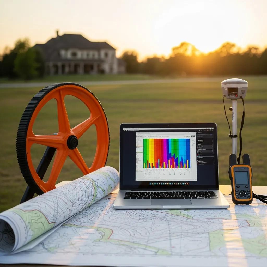
What Technologies and Professional Expertise Does Ludlow Engineers Use?
We pair industry-standard equipment and modern tools—GPS, total stations, and aerial data—with experienced staff and current software. That mix improves accuracy and shortens delivery times while meeting professional standards.
What Are the Most Common Questions About Land Survey Costs?
We often hear the same questions from property owners. Below are concise, practical answers to help you compare quotes and plan your project.
What Is the Average Cost of a Land Survey in Utah?
Typical costs in Utah range from about $350 to $2,500, depending on survey type and project complexity. Use the ranges earlier in this guide as a budgeting starting point.
How Long Does a Typical Land Survey Take?
Timing depends on survey type, property size, and site conditions. Most projects finish within a few days to a couple of weeks; complex jobs that require additional research or approvals may take longer.
What Factors Should I Consider When Comparing Survey Quotes?
When you compare estimates, look beyond price. Compare:
- Survey Type: Confirm the quotes are for the same deliverable.
- Experience of the Surveyor: Check references and local knowledge.
- Included Services: Note what’s in the price—research, maps, certified plats, or follow-up visits.
- Timeline: Confirm expected delivery and any rush fees.
Frequently Asked Questions
What should I do if I disagree with the results of my land survey?
First, review the survey documents and supporting records. Ask the surveyor to walk you through their findings—discrepancies often stem from differing assumptions or outdated records. If the dispute continues, consider a second opinion or consult a property attorney to understand your options.
How can I prepare my property for a land survey?
Provide clear access to boundaries and corners, remove obstacles where practical, and gather deeds or prior surveys you have. Point out gates or restricted areas to the crew so fieldwork proceeds smoothly.
Are there any hidden costs associated with land surveys?
Possible extra costs include extended record research, resolving conflicts with old surveys, re-surveys if disputes arise, or expedited service fees. Ask for an itemized estimate and discuss likely variables up front to avoid surprises.
What happens if my property lines are disputed after a survey?
Use the survey and supporting records as the starting point for discussion. Many disputes resolve through negotiation or mediation. If that fails, legal action may be necessary—consult a property attorney for next steps.
How often should I have my property surveyed?
Survey frequency depends on your needs. Get a new survey when buying or selling, before major construction or subdivision, or if a boundary dispute arises. If your property hasn’t changed and you have a recent certified survey, you may not need a new one.
Can I perform my own land survey?
You can take informal measurements, but only a licensed surveyor provides the legal accuracy and certified documentation required for transactions, permits, or dispute resolution. For official work, hire a qualified professional.
Conclusion
Understanding survey costs helps you avoid surprises and keeps projects on schedule. By considering property size, terrain, required survey type, and local rules, you’ll be better prepared to evaluate quotes. Choose a firm with local experience and transparent pricing—like Ludlow Engineers—to get reliable results. Contact us for a detailed, transparent quote and start your project with confidence.