The Benefits of Drone Topographic Surveys
Topographic Surveyor – Are you looking to hire a land surveyor to provide a topography of your land? If so, then you should consider using drone topographic surveys. This cutting-edge technology is revolutionizing the way land surveyors work and can provide you with accurate, detailed data in a fraction of the time it would take traditional methods. Let’s explore the benefits of drone topographic surveys and how they are used today.
What are Topographical Land Surveys?
A topographical survey is an aerial survey that produces a map or three-dimensional representation of the physical features on a particular piece of land. These features may include buildings, roads, vegetation, rivers, lakes, mountains, and other objects that can be seen from above. Topographical surveys are often used for engineering applications such as road construction and urban planning. In addition, they can also be used to create contour maps which show changes in elevation over a certain area — this is especially useful for those involved in surveying or geology.
How Drones are Used Today For Topo Surveyor

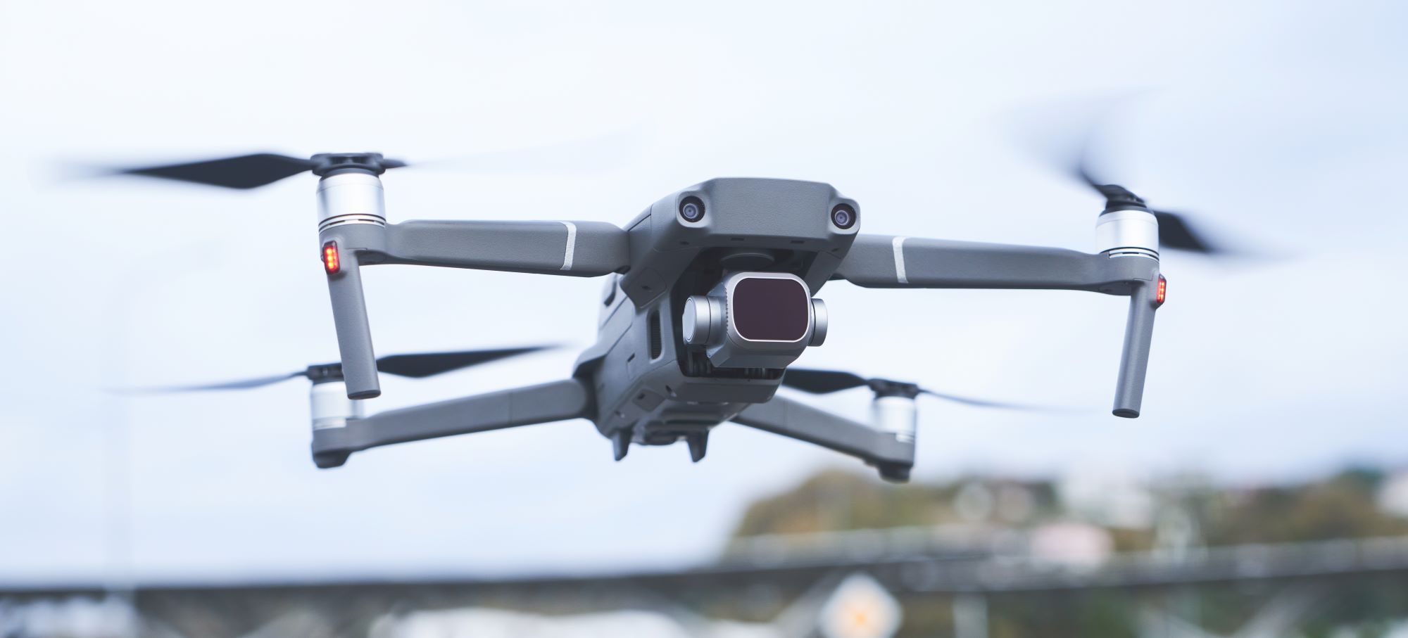
Today’s drones have advanced far beyond their early iterations. Modern drones come equipped with high resolution cameras and sophisticated software that allow them to capture highly detailed images from hundreds of feet in the air. This makes them perfect for capturing accurate aerial images which can then be used to produce digital 3D models and maps with precise measurements down to centimeters or inches depending on the project requirements. This data can then be used by engineers or geologists to get an accurate picture of what lies beneath the surface without having to manually dig up the soil themselves – saving both time and money in the process!
Topographical Survey Near Me?
Apart from its use in engineering and geological applications, drone topographic surveys are also being used by farmers who need an accurate map of their land for crop planning purposes. They can also be used by archaeologists who need an aerial view of potential sites before sending teams out into the field for further exploration. And finally, these surveys can also help property developers find potential sites for new developments more quickly than ever before – all without ever having to step foot on the ground!
Topographic Surveyor Conclusion
Drone topographic surveys offer many advantages over traditional methods when it comes to acquiring detailed aerial imagery and data about a given area of land. They are faster than traditional methods, more cost effective, and much safer – not only for those conducting the survey but also for those living nearby who don’t have to worry about loud noises emanating from helicopters or planes flying overhead! So if you’re looking for an efficient way to gain an accurate understanding of your land quickly and easily – consider investing in drone topographic surveys in Utah today!
Contact us today, Land Surveyors in Utah.
Our land surveying company in Utah has helped clients throughout the state, including these UT communities:
- Juab County
- Utah County
- Millard County
- Sanpete County
- Sevier County
- And More!


