Topographic Surveys in Utah: Costs & Tech
A topographic survey (also called a topographical survey) is a precise mapping of natural and man-made features and elevations on a parcel of land, producing contour maps, spot elevations, digital terrain models (DTMs), and labeled features that support design and permitting. This article explains what topographic surveys do, why they are essential in Utah’s varied terrain, how modern technologies like UAV photogrammetry and LiDAR improve results, and what typical cost drivers look like so you can . Homeowners, developers, and engineers rely on accurate elevation mapping Utah-wide to manage slope stability, drainage, and construction grading; understanding deliverables such as contour mapping Utah and digital terrain models (DTM Utah) reduces surprises during design and permitting. The sections below walk through mapped features, cost factors and example pricing scenarios, survey types for residential and commercial needs, UAV and drone advantages, LiDAR capabilities compared to traditional methods, and how surveys comply with Utah regulations. Read on to learn practical steps to request a custom quote and the information a surveyor will need to produce reliable elevation data for site planning and construction staking.
What Is a Topographic Survey and Why Is It Essential in Utah?
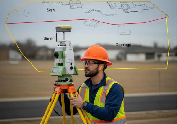
A topographic survey captures the three-dimensional layout of a site by measuring elevations, contour lines, spot elevations, and the location of natural and man-made features, producing maps and digital terrain models used for planning and design. The mechanism is straightforward: field data collection with GPS, total stations, UAVs, or LiDAR creates point measurements that are processed into contours and DTMs, enabling engineers to analyze slopes, drainage patterns, and buildable areas. In Utah, where mountains, valleys, and variable slopes are common, accurate elevation mapping helps mitigate risks from steep-site construction, seasonal runoff, and site grading challenges. The next subsections list the features typically mapped and explain why this mapping is critical for Utah projects, leading directly into considerations for cost and survey type selection.
What Features Do Topographic Surveys Map?
Topographic surveys document both natural and constructed elements on a site so planners and designers can understand site constraints and opportunities. Natural features commonly mapped include contour lines, spot elevations, vegetation, waterways, and drainage channels; these elements are essential for floodplain and erosion assessment. Man-made features captured typically include buildings, fences, utilities, roads, and surface improvements, which inform setback, access, and utility coordination. Deliverables that represent these features include contour maps, labeled feature plans, orthomosaics, point clouds, and CAD files that designers use directly in grading and civil design, and understanding these deliverables helps project teams choose the correct level of detail for their needs.
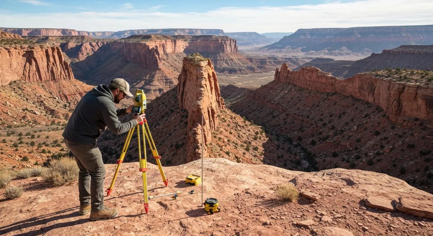
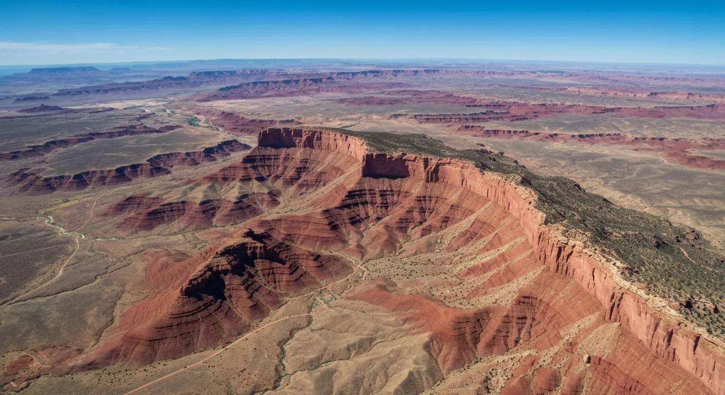
Why Are Topographic Surveys Critical for Utah’s Terrain and Development?
Topographic surveys reduce design risk by providing the elevation and feature data engineers need to design safe grading, drainage, and foundation solutions specific to Utah’s geology and hydrology. For hillside lots, accurate slope and bench elevations determine feasible building pads and retaining structures; for valley sites, mapped washes and flood channels inform stormwater design and permit applications. Accurate DTMs enable volume calculations, cut-and-fill estimates, and automated grading models that save time in the design phase. These functions directly support permitting, construction staking, and long-term site maintenance, so investing in a thorough topographic survey is a practical step toward predictable project outcomes and regulatory compliance.
How Much Does a Topographic Survey Cost in Utah?
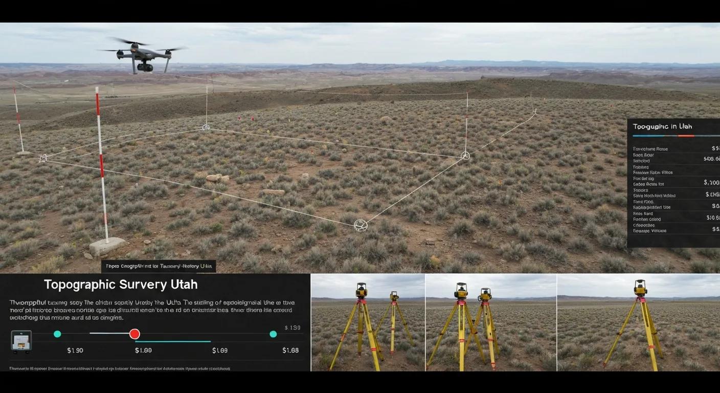
Topographic survey pricing in Utah varies based on property size, terrain complexity, access, deliverables, and required accuracy; typical examples range from modest rates for small residential lots to substantially higher costs for large, steep, or heavily vegetated commercial sites. Costs reflect labor, equipment, travel, post-processing, and quality assurance needed to produce contour mapping or a digital terrain model (DTM) that meets a project’s design standards. Understanding the main cost factors helps clients specify the right deliverables—such as contours at a 1-foot versus 2-foot interval, DTMs with classified point clouds, or basic spot-elevation plans—so the proposal aligns with budget and regulatory needs. The table below breaks down common cost-influencing entities and provides typical value notes to illustrate how each factor affects pricing and scope.
What Factors Influence Topographic Survey Pricing in Utah?
Several specific factors drive price, and understanding mitigation options can reduce cost without sacrificing necessary accuracy. Property size determines field hours; terrain complexity and access affect setup, safety measures, and the need for specialized equipment like total stations or LiDAR; vegetation can dictate whether UAV photogrammetry is sufficient or LiDAR is required for vegetation penetration; deliverable complexity (contours, DTMs, CAD files, orthomosaics) influences post-processing time; and required accuracy or contour interval increases control point density and surveying checks. Below is a practical list that clients can use to drivers when requesting a quote.
- Property size determines the number of control setups and flight or traverse time.
- Terrain difficulty and access increase labor, safety protocols, and equipment needs.
- Vegetation density may require LiDAR or more ground control for reliable surfaces.
- Deliverable detail and format (DTM, contours, CAD) affect processing and QA effort.
- Permitting, special standards, or county filing requirements add administrative time.
Being prepared with site photos, parcel size, and desired deliverables reduces back-and-forth and helps generate a precise estimate, which we outline in the next section where you can request a custom quote.
How Can You Get a Custom Topographic Survey Quote from Ludlow Engineering?
To request a custom topographic survey quote, prepare basic project details: parcel dimensions or acreage, site photos or a sketch showing access points, desired deliverables (contours, DTM, CAD, orthomosaic), target contour interval and required accuracy, and any permitting or special standards the project must meet. The typical process begins with an initial inquiry and sharing of these materials, followed by a site assessment or remote review to confirm access and constraints, then a formal proposal that outlines scope, timeline, and pricing. Ludlow Engineers and Associates (operating as ) provides custom quotes based on this process, leveraging their surveying and civil engineering expertise to recommend the most cost-effective approach for accurate elevation mapping. Expect a clear proposal that states scope, deliverables, schedule, and any assumptions so you can compare options and schedule field work efficiently.
What Are the Key Types of Topographic Surveys in Utah?
Topographic surveys are tailored by project scale and purpose, with residential, commercial, and large-scale/infrastructure surveys each emphasizing different deliverables and workflows. Residential topographic surveys focus on detailed yard-level contours, spot elevations, and utilities for site planning and permit applications; commercial surveys expand to full DTMs, utility coordination, and mass-grading calculations; large-scale or corridor surveys prioritize continuous DTMs, corridor , and integration with GIS for infrastructure planning. The table below maps survey types to typical deliverables and use-cases to clarify which approach fits common Utah projects.
What Are the Benefits of Residential Topographic Surveys in Utah?
Residential topographic surveys give homeowners and small developers the elevation and feature data needed to place structures safely, design grading and drainage, and satisfy local permitting, all of which reduce costly redesign during construction. A typical residential survey will show contours, existing building footprints, utilities, and trees or fences, enabling architects and civil engineers to design foundations and site grading that respect slope stability and runoff patterns. These surveys also streamline permit submissions by providing certified drawings that county or city planning offices accept, reducing approval delays. For homeowners considering additions or new construction, a targeted topographic survey is a relatively small investment that prevents larger construction or site mitigation costs later.
How Do Commercial Topographic Surveys Support Large-Scale Development?
Commercial surveys inform mass grading, stormwater management, utility coordination, and constructible site layout by providing high-quality DTMs, contour maps, and CAD deliverables tailored to engineering workflows. Engineers use these deliverables for cut-and-fill calculations, drainage design, and coordination with contractors for construction staking and sequencing, accelerating procurement and permitting. Commercial surveys often integrate UAV or LiDAR data to accelerate coverage of large areas while maintaining the accuracy needed for civil design. This integration reduces overall project timelines and allows project teams to make informed decisions about earthwork volumes and infrastructure placement before construction begins.
How Do UAV and Drone Technologies Enhance Topographic Mapping in Utah?
UAV aerial surveying and drone topographic mapping deliver high-resolution orthomosaics, dense point clouds, and rapid site coverage that complement traditional ground surveying methods, particularly on large or inaccessible Utah sites. UAV workflows collect overlapping imagery that, when processed with photogrammetry, produces detailed surface models and orthomosaics used to generate DTMs and contour maps. These methods increase efficiency and reduce field time compared with full ground traverses, while still requiring ground control points or GNSS checks to meet required accuracy. The next subsection lists concrete advantages and follows with a description of how for precise elevation data and deliverables.
What Are the Advantages of UAV Topographic Mapping?
UAV topographic mapping offers speed, high-resolution imagery, improved safety, and cost-effective coverage over large or rugged areas when combined with proper ground control and processing. Drones can cover multiple acres per hour, capture sub-centimeter imagery resolution depending on flight altitude, and access steep slopes or unstable terrain without exposing field crews to hazards. When processed into orthomosaics and dense point clouds, UAV data integrates with DTMs and CAD files to support grading, volumetric analysis, and environmental monitoring. This efficiency reduces time-to-deliverable and can lower total project costs for many residential, commercial, or infrastructure projects, although dense vegetation can limit photogrammetric surface accuracy compared with LiDAR.
How Does Ludlow Engineering Use Drone Technology for Precise Elevation Data?
Ludlow Engineers and Associates applies mission planning, calibrated ground control, and rigorous post-processing to convert UAV imagery into reliable elevation products that integrate with DTMs and CAD deliverables. Their workflow begins with pre-flight planning to define flight lines, ground control placement, and safety procedures suited to Utah’s airspace and terrain, followed by image capture and GNSS-referenced control collection; post-processing then creates orthomosaics, dense point clouds, and DEMs with quality checks against surveyed control points. The processed data is classified, checked for vertical accuracy, and delivered as contours, DTMs, or CAD-ready files that support engineering design and construction staking. Clients interested in drone-enabled topographic surveys can request these services as part of a custom quote to determine whether UAV mapping or LiDAR is the most cost-effective approach for their site.
What Is LiDAR Surveying and How Does It Improve Topographic Surveys in Utah?
LiDAR surveying uses laser pulses to measure precise distances to the ground and objects, producing dense three-dimensional point clouds that penetrate vegetation and capture fine-grained terrain detail, which is especially valuable in Utah’s forested canyons and vegetated slopes. LiDAR’s pulse-return principle records multiple returns per pulse, allowing classification of ground versus vegetation and enabling creation of accurate DTMs under tree canopies. This strength makes LiDAR ideal for slope analysis, forestry mapping, infrastructure corridor surveys, and floodplain modeling where photogrammetry may miss ground points. The comparison table below contrasts LiDAR, UAV photogrammetry, and traditional total-station or GPS surveying to help determine the right method for a given project.
How Does LiDAR Work for Accurate 3D Terrain Mapping?
LiDAR systems emit laser pulses toward the ground and measure the time it takes for returns to come back, converting those time-of-flight measurements into distance and therefore 3D coordinates for millions of points across a site. Multiple returns allow classification of vegetation versus ground, creating a classified point cloud that is processed into DTMs and contour products suitable for engineering analysis and slope modeling. Post-processing includes calibration, georeferencing, point-classification, and noise filtering to ensure accuracy before producing deliverables such as contours, cross sections, and volumetric calculations. For Utah projects requiring accurate ground surfaces under tree cover or detailed slope analysis, LiDAR provides a defensible dataset for engineering design and environmental assessment.
What Are the Applications of LiDAR in Utah’s Complex Terrain?
LiDAR excels in Utah-specific scenarios such as mapping forested canyon floors for flood and erosion assessment, corridor mapping for utilities and roads across rugged terrain, vegetation-penetrating surveys for forestry management, and high-accuracy slope and volume calculations for mass grading projects. In infrastructure planning, LiDAR point clouds enable corridor DTMs and cross-section generation that feed directly into design tools and help reduce unforeseen earthwork during construction. For environmental monitoring, LiDAR supports watershed analysis and detailed channel mapping where undergrowth would otherwise obscure ground features. These use-cases show how selecting LiDAR versus UAV photogrammetry depends on vegetation, required ground fidelity, and budget priorities.
How Do Topographic Surveys Comply with Utah Regulations and Standards?
Topographic surveys intended for permitting, recordation, or legal use must meet licensing, accuracy, and filing expectations that vary by county and project type; licensed surveyors prepare surveys that adhere to mapping and documentation standards required for regulatory approval. Compliance includes establishing appropriate control, using accepted accuracy standards, labeling deliverables with surveyor certifications, and preparing recordable drawings where necessary for county offices. Best practices include early coordination with permitting authorities to understand specific deliverable formats and filing requirements and retaining a licensed land surveyor to provide defensible documentation. The following subsection summarizes the types of statutes and standards that commonly affect surveying practice in Utah and then explains why working with licensed professionals is important.
What Are the Key Utah State Laws Governing Topographic Surveys?
Utah surveying practice is governed by licensing and professional standards that require land surveying and map preparation to be performed or supervised by licensed professionals and to meet accepted accuracy and documentation conventions used by county recorders and permitting agencies. These standards influence control networks, acceptable error tolerances, annotation and certification language on maps, and procedures for recordation or filing in county offices, making it important to confirm county-level requirements early in the project. Practitioners should consult official resources from state and county agencies for exact filing procedures and mapping standards to ensure deliverables meet local acceptance criteria. Understanding these administrative expectations reduces delays in permitting and ensures surveys are defensible for design, escrow, and legal needs.
Why Is Working with Licensed Professionals Like Ludlow Engineering Important?
Working with licensed professionals ensures surveys are prepared under the legal and technical standards required for permitting, recordation, and engineering design, minimizing liability and permitting risk for clients; licensed surveyors provide certified deliverables that local authorities and engineering firms accept. and Associates (operating as Ludlow Engineering) combines land surveying and civil engineering expertise with advanced technologies—GPS, total stations, UAVs, and LiDAR—to produce compliant DTMs, contour maps, and CAD deliverables tailored to Utah regulations and terrain. Engaging a licensed firm streamlines coordination with permitting offices and integrates surveying with civil engineering needs, and clients can request a custom scope and proposal that clarifies compliance tasks and deliverables for their specific county and project type.
- Prepare site photos and parcel size: Share these to speed initial scoping and highlight access constraints.
- Specify desired deliverables and accuracy: Define contour interval, DTM needs, and file formats early.
- Coordinate with permitting authority: Confirm any county-specific submission standards before finalizing scope.