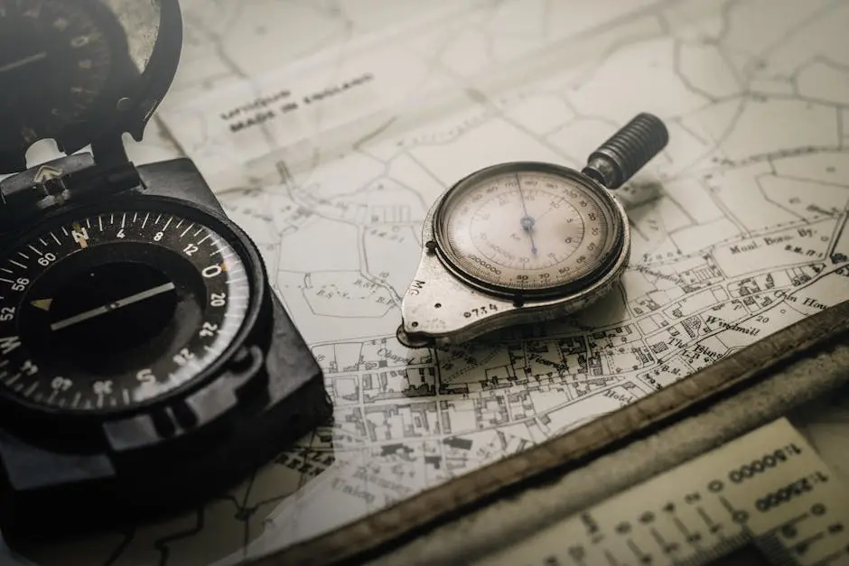
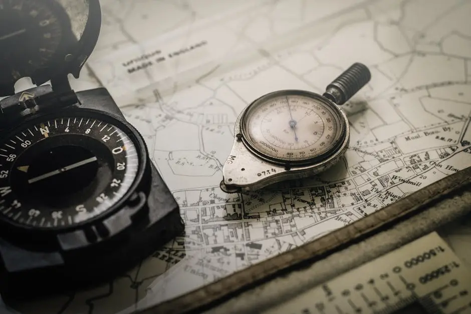
As a land surveyor, having the right tools is crucial for accuracy and efficiency on the job. Whether you’re a seasoned professional or just starting out, this guide is here to help you identify the essential tools you need in your toolkit. Let’s dive into the must-have tools that will make your land surveying tasks easier and more precise.
1. The All-Purpose Total Station
A total station is a versatile instrument that combines an electronic theodolite with an electronic distance measurement device. It is indispensable for measuring angles and distances with high precision. Total stations are highly effective because they integrate multiple functionalities into one tool, making them a staple in any land surveyor’s kit.
With features that allow for both manual and automated measurements, modern total stations can facilitate complex calculations on-site, reducing the need for manual data entry and potential human error. For example, the latest models often come equipped with advanced software that allows you to instantly process and visualize your data. This can be particularly useful when working in challenging terrains or under time constraints.
Moreover, total stations are equipped with prisms and laser technology that enhance measurement accuracy over long distances. This makes them ideal for extensive surveying projects, such as when you need to measure across large tracts of land with varying elevations.
2. Reliable GPS Equipment
GPS equipment is essential for land surveying in large areas where traditional methods might be impractical. It provides accurate location data and is critical for mapping and plotting land. High-quality GPS systems can pinpoint locations with stunning precision, often down to the centimeter level.
The advent of satellite-guided mapping systems has revolutionized land surveying. These systems ensure that even in remote or heavily forested areas, you can obtain accurate measurements without the line-of-sight limitations that other tools might impose. With the integration of GIS capabilities, modern GPS units can store and process vast amounts of spatial data, making your job significantly more efficient and reliable.
3. Robust Surveying Tripod
A stable and durable tripod is the backbone of any surveying setup. It ensures that your instruments are securely mounted and level, providing accurate measurements every time. Given that outdoor conditions can be unpredictable, investing in a high-quality tripod can save you the frustration of dealing with unstable setups.
Modern tripods are designed with lightweight yet sturdy materials like carbon fiber, which makes them easy to transport without sacrificing stability. Some even come with self-leveling legs to adapt quickly to uneven terrains, ensuring that your surveying tasks proceed without a hitch.
4. Precision Leveling Tools
Leveling tools, such as automatic levels and digital levels, are essential for determining elevation differences. These tools are crucial for construction projects and other applications requiring precise level measurements. Being able to measure slight variations in land elevation accurately can make all the difference in ensuring the stability and safety of subsequent construction work.
An automatic level, for example, simplifies the leveling process by offering automatic compensation for small tilts, thus providing consistent accuracy. On the other hand, digital levels facilitate data recording and calculations, allowing you to store measurements electronically for later analysis. These innovations minimize human error and increase the efficiency of your workflow.
5. Reliable Surveying Software
The right surveying software can streamline data collection, processing, and analysis. Look for software that integrates well with your equipment and enhances your workflow efficiency. Surveying software can offer functionalities like automated data logging, advanced calculations, and even 3D modeling, transforming raw data into actionable insights.
By leveraging robust surveying software, you can achieve greater accuracy and reduce the time spent on manual data entry and corrections. More advanced solutions also provide cloud storage options, enhancing data security and facilitating easier sharing between team members and clients.
6. Durable Measuring Tape
A high-quality measuring tape is a must-have for quick and accurate distance measurements of smaller sections. It is a simple yet indispensable tool in any surveyor’s toolkit. Measuring tapes come in handy for preliminary measurements or when you need to verify distances without setting up more complex equipment.
Ensure that the measuring tape you choose is durable and resistant to wear and tear. Look for features like coated blades and robust housing, which can withstand outdoor conditions and frequent use. This goes a long way in ensuring longevity and reliability in your day-to-day tasks.
7. Modern Drone Technology
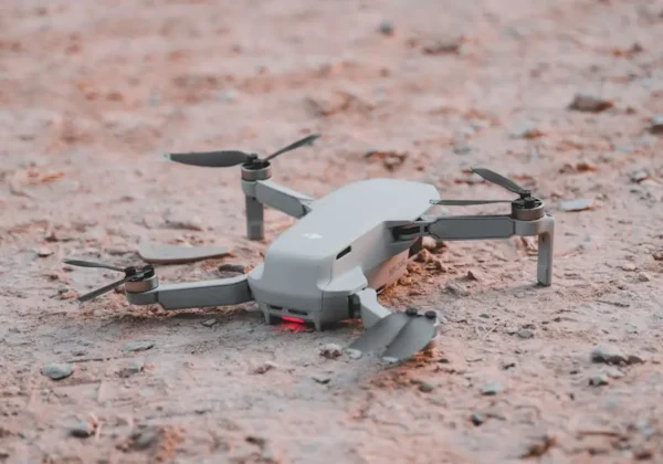
Drones have revolutionized land surveying by providing aerial views and collecting data from hard-to-reach areas. They enhance accuracy and save time, especially in large and complex survey projects. Equipped with high-resolution cameras and advanced GPS systems, drones can capture detailed geographical data and provide a bird’s-eye view of the terrain.
Modern drones often come with software integration that allows for real-time data analysis and mapping. This makes them invaluable for topographic surveys and for creating 3D models of surveyed land. The ability to automate flights and data collection further improves efficiency, allowing you to focus on data analysis and decision-making.
8. Robust Field Book and Pens
Despite all the advanced technology, a durable field book and pens are still essential. They allow you to take notes and sketch diagrams on-site, ensuring that no detail is missed during the survey. Field books are especially useful for making quick observations and documenting measurements, which may later be digitized or compared with electronic data.
Opt for weather-resistant field books that can withstand various environmental conditions. Having a reliable field book ensures that you have all critical information on hand, even when you’re in areas with limited technology access or facing bad weather.


