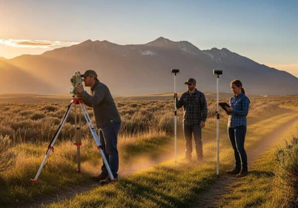
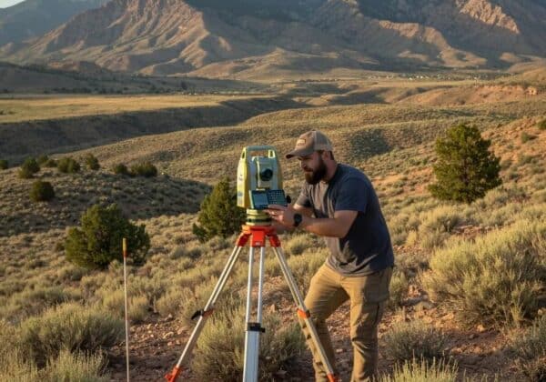
Land surveying is a fairly ancient process first brought on by some of the first humans, and that has adapted to the technological growth of our modern times. Land surveys provide clear and concise information explaining various aspects of your land, such as boundaries, the location of necessary underground utilities and drains, and other critical fixtures. Various land surveys are used in civil engineering as regulations increase, and there becomes a heightened importance on understanding every aspect of the land. We’ll break down the different survey types you may need to invest in for your next land development project.
Understanding Land Surveys
Land surveying is a critical technique that helps identify the position of certain points on the land and highlights distances and angles between them in a way that properly assists engineers and construction contractors. A land survey report will typically be created post-survey, which provides an accurate graphical representation of the land, including boundary lines, encroachments, and land use restrictions. Land surveying is carried out to help you make informed decisions, avoid legal boundary battles, and clarify topographical information to ensure the stability of a new structure, amongst many other things. This makes surveys a crucial part of drafting plans, making measurements, and ensuring the safety of any project.
Understanding ALTA Surveys: Importance in Land DevelopmentALTA Surveys
ALTA surveys, also known as American Land Title Association surveys, are used to gather data regarding a property’s conditions, boundaries, and any impediments that might impact its value. These surveys are typically utilized in commercial real estate transactions, particularly when the land has plenty of zoning restrictions or a complicated legal history. ALTA surveys provide an in-depth look at a property’s features by utilizing boundary, topographic, and title surveys and combining the results into one detailed rapport. This gives property owners and prospective buyers enough information to make informed decisions about its future use and value.
Boundary Surveys
Boundary surveys determine the precise boundaries of a parcel of land, allowing property owners to know exactly where their land ends and their neighbor’s land begins. Surveying technicians use advanced technologies, such as GPS and geographic information systems, to measure and record land boundaries to the tee. Once complete, the survey will be used to create legal descriptions, prepare new land deeds, and clarify what you can and cannot do with future land development projects. In addition, boundary surveys help to avoid legal disputes with neighboring factories, facilities, and homeowners and give you the most precise representation of what you own.
Subdivision Surveys
Subdivision surveys are a vital step in property development, helping landowners or developers decide to divide a larger plot of land into smaller parcels. They serve as a blueprint for the development process as they detail the precise layout of each presumed new lot, including boundaries, easements, street designs, and drainages. Subdivision surveys also identify potential issues that may arise during the development process, such as zoning regulations or environmental concerns. Accurate versions of these surveys can save both time and money during development while providing proof of compliance with regulations, as they must be recorded by state or local government agencies.
Topographic Surveys
Surveyors focused on topographic surveys aim to identify and map a particular piece of land’s contours, features, and elevations. These surveys offer detailed information about natural and man-made features such as trees, buildings, water bodies, and other structures on the land. The data collected through topographic surveys can aid in land planning, development, and construction projects by ensuring land stability and identifying any potential issues with specific buildings or structures. The surveys also help in identifying any potential hazards or obstacles that may exist within the land. They’re performed through a combination of aerial photography and ground methods and aren’t limited to the boundaries of a property.
Get Your Land Surveyed With Ludlow Engineering and Associates LLC
The surveys themselves may vary, but one factor must never change— the quality of your survey. From boundary to topographic mapping surveys, you must have accurate results to ensure the stability of your upcoming project. And with Ludlow Engineering, you’re guaranteed to receive some of the finest survey data possible. Our Utah-based team provides boundary, construction, subdivision, and ALTA surveys performed by some of the finest contractors in the state. So no matter what construction or engineering project you plan on enacting, start the process with a qualified land surveying company.


