Expert Land Surveying & Civil Engineering in Nephi, Utah
Introduction
Accurate land surveying in Nephi, Utah, is the foundation for clear property ownership, successful site development, and fewer permitting or legal surprises. This guide walks through the primary services available locally, explains how boundary and ALTA/NSPS surveys work, outlines the main cost drivers, and offers straightforward steps for addressing property-line disputes. You’ll find practical comparisons of common surveys — boundary, ALTA, topographic, and UAV aerial — learn how civil engineering pairs with surveying for site and subdivision design, and get tips for requesting dependable quotes. The examples and checklists emphasize Nephi and Juab County specifics and show how a local land surveying company in Nephi can deliver accurate, timely results.
What Land Surveying Services Does a Professional Company in Nephi Utah Provide?
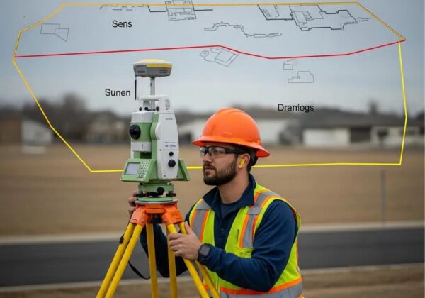
Local land surveying firms in Nephi offer a range of geospatial and civil services that record property lines, elevations, and existing conditions to support sales, construction, and dispute resolution. These services combine field control and monumentation with deed research and final deliverables such as plats, legal descriptions, and digital mapping—documents relied on by owners, title companies, and permitting authorities. Knowing what each service produces helps you choose the right scope and avoid costly rework during development or transfer. Below is a concise list of common survey types, typical uses, and the deliverables you should expect from Nephi surveyors.
Which Types of Land Surveys Are Offered in Nephi?
Surveyors in Nephi typically provide boundary surveys, ALTA/NSPS land title surveys, topographic surveys, construction staking, UAV/drone mapping, and FHA foundation inspections. Boundary surveys locate corners and produce plats for fences, sales, and permits; ALTA/NSPS surveys meet lender and title company requirements for commercial transactions; topographic surveys map elevations and site features for design; construction staking places design points in the field; UAV surveying captures high-resolution imagery for large or steep sites; and FHA inspections document foundation elevation and compliance. Every service includes field notes, a plat or digital files, and recommended next steps such as monument setting or design coordination.
Core surveying services and when they’re typically used:
- Boundary Survey: Needed for property transfers, fence lines, and resolving ownership questions.
- ALTA/NSPS Land Title Survey: Commonly required for commercial closings and lender underwriting.
- Topographic Survey: Used for site design, grading plans, and drainage analysis.
- UAV Aerial Surveying: Efficient for large parcels, rough terrain, or rapid topographic capture.
- Construction Staking: Converts design coordinates into precise field control for contractors.
- FHA Foundation Inspection: Records foundation elevations for FHA loan compliance.
These offerings form a practical menu to support development, transactions, and dispute avoidance. The right combination depends on project goals and local Nephi permitting or lender requirements.
How Do Civil Engineering Services Complement Land Surveying in Nephi?
Civil engineering turns measured site data into buildable plans that meet local codes and address grading and drainage needs. Survey plats and topographic data give engineers the control and context to design subdivision layouts, road alignments, stormwater systems, and site grading. An integrated workflow reduces errors: surveyors set reliable control and monuments, engineers design to those points, and construction staking returns engineered locations to the field. Local factors—soil conditions, slopes, and county recording practices—make early coordination between survey and engineering teams especially important in Nephi, shortening permitting timelines and preventing duplication of work.
How Does a Boundary Survey in Nephi Utah Define Property Lines Accurately?

A boundary survey establishes property lines by combining historical deed research, a search for monuments and witness marks, and precise field measurement. Surveyors start with title documents and prior plats to understand the legal description, then locate physical evidence on site and set survey control using GPS/GNSS or total stations. The final deliverables typically include a signed plat, identified monument locations, and a written legal description you can use for permitting, sale, or dispute resolution. Because boundary work blends archival interpretation with measurement, surveyors also document ambiguities and explain any discrepancies found in the records.
What Is a Boundary Survey and Why Is It Important for Nephi Property Owners?
A boundary survey is a technical, documented determination of where property lines lie in relation to monuments, deeds, and other evidence. It prevents encroachments, protects property transfers, and ensures that permits and improvements sit inside legal boundaries. Skipping a boundary survey risks placing fences, buildings, or improvements over another parcel, which can lead to disputes and expensive corrections. In Nephi—where lot shapes, older monuments, and local recording quirks exist—a boundary survey confirms whether monuments remain valid, whether deed descriptions match the field, and whether easements reduce usable area. Clear survey documentation reduces uncertainty when buying, selling, subdividing, or improving a site. For detailed insight, consider our boundary survey services.
Resolving boundary disputes usually depends on objective, documented evidence—exactly what a professional survey provides.
What Is the Step-by-Step Process for Conducting a Boundary Survey in Nephi?
Boundary surveys follow a repeatable sequence: title and deed research, field reconnaissance, control establishment, monument verification or placement, precise measurement, drafting of plats and legal descriptions, and delivery with clear recommendations. Initial research uncovers prior surveys, deed chains, and recorded easements; fieldwork locates witness marks and establishes position control with GPS or total station; mapping and closure checks ensure measurement accuracy; and final deliverables include a signed plat and a report summarizing findings and implications. Timelines vary based on research complexity and site access, but providing deeds, plats, or prior surveys up front speeds the process and helps coordinate with title companies or permitting officials.
What Are ALTA Surveys and When Are They Required in Nephi Utah?

An ALTA/NSPS land title survey is a detailed, standardized survey primarily used for commercial transactions and lender underwriting. It documents boundaries, easements, improvements, access, and other recorded matters. ALTA surveys follow national minimum standards and often include optional items such as floodplain limits, zoning setbacks, or additional title-related checks requested by lenders or insurers. In Nephi, an ALTA survey reduces transactional risk by identifying encroachments, rights-of-way, and access issues that could affect marketable title. Because the scope is driven by lender and title company requirements, specify required items early so the survey meets underwriting and local recording expectations.
How Do ALTA/NSPS Land Title Surveys Protect Property Interests in Nephi?
ALTA/NSPS surveys protect buyers, lenders, and owners by systematically identifying encroachments, easements, access points, and other title-related matters that affect use and marketability. By combining field observations with the title commitment, an ALTA survey uncovers conflicts—undocumented encroachments or missing access—that might surface after closing. For Nephi commercial deals, this clarity helps lenders underwrite loans, helps buyers negotiate conditions at closing, and helps owners understand constraints on development. The survey’s standardized checklist and certification language reduce ambiguity in commercial transactions and support title insurance endorsements.
Keeping up with current standards is important to ensure the survey meets underwriting and recording requirements.
What Are the Specific ALTA Survey Requirements for Nephi and Utah?
ALTA/NSPS standards set the national baseline, while local recording practices and county conventions in Utah influence how plats and monuments are shown and filed. Typical ALTA items include boundaries, monuments, improvements, easements, rights-of-way, and observed access; optional items can cover floodplain limits, zoning, and surveyor-prepared legal descriptions. In Nephi, surveyors confirm Juab County recording formats and monumentation conventions so plats integrate cleanly with county records and parcel datasets. Early coordination with title companies and lenders helps ensure the final ALTA meets both national standards and local filing practices.
Common situations that trigger an ALTA/NSPS survey:
- Commercial Purchase or Sale: Lenders and buyers often require an ALTA survey for underwriting.
- Refinancing or New Lending: Lenders need documented site conditions and easement status.
- Major Development or Redevelopment: Developers use ALTA surveys to confirm title constraints before design.
Ordering the correct survey early avoids delays during closing or permitting.
How Much Do Professional Land Surveying Services Cost in Nephi Utah?
Survey pricing in Nephi varies with acreage, terrain and vegetation, required accuracy, lender or regulatory add-ons, site access, and the depth of historical research. Rather than flat fees, most estimates are scoped to deliverables—plat, digital files, ALTA options—and the field effort needed to locate monuments and establish control. Knowing the main cost drivers helps clients prioritize scope items and avoid surprises. The table below summarizes common survey types, typical scope, and the primary cost factors you should expect when requesting estimates from Nephi surveyors.
What Factors Affect the Cost of Land Surveys in Nephi?
Major cost factors include acreage, terrain complexity (steep slopes or dense vegetation), the amount of archival research needed to reconcile deeds, site access and logistics, and the precision and format of deliverables required by clients or lenders. Steep terrain or heavy brush increases field time and can require UAV support; missing or ambiguous monuments add research hours; and ALTA surveys with multiple lender options expand scope. Utility locating, short timelines, or special certification needs also raise costs. Understanding these drivers helps clients request realistic estimates rather than expecting one-size-fits-all pricing.
How Can Clients Get Accurate Quotes for Land Surveying Services in Nephi?
To get accurate quotes, provide a concise packet: the deed or legal description, any prior plats or surveys, a clear statement of project goals (sale, refinance, development), and known site access limitations. Surveyors typically follow a quote workflow: document review, initial site or aerial assessment, scope confirmation with the client, and a written estimate. Initial responses often arrive within a few business days after key documents are reviewed; full scheduling and fieldwork depend on access and season. Supplying complete information up front reduces scope changes and yields better price accuracy.
Information to include when requesting a quote:
Short Business Note on Obtaining a Ludlow Quote
If you prefer a local point of contact, Ludlow Engineers and Associates accepts quote requests starting with a short project summary and any existing deeds or plats. The team reviews site information, outlines scope options, and follows a standard estimate workflow that includes an on-site assessment when needed. Contact and scheduling details are available through the firm’s published channels.
How Can Ludlow Engineers and Associates Ensure Reliable Land Surveying in Nephi Utah?
Ludlow Engineers and Associates combines local presence, experienced surveyors, and in-house civil engineers to deliver surveys and plans that support transactions, design, and dispute resolution. Their service list—land surveying, boundary and ALTA/NSPS surveys, topographic mapping, UAV aerial surveys, FHA foundation inspections, and civil engineering—matches the needs of residential and commercial clients across Juab County and nearby areas. Close coordination between survey and engineering teams reduces rework, clarifies control points for design, and streamlines permitting and construction.
Surveying expertise rests on a solid understanding of property descriptions and practical application of measurement and mapping techniques.
Why Choose Ludlow Engineers for Land Surveying and Civil Engineering in Nephi?
Ludlow is a local firm serving Nephi, Juab County, and surrounding Utah communities with a full suite of civil engineering services. Having both disciplines under one roof improves communication between field-measured data and permitting or design deliverables, which helps avoid misinterpretation of control points and reduces project delays. Ludlow maintains an office in Nephi for client meetings and document delivery and offers coordinated workflows that move smoothly from survey control to design and construction staking without cross-vendor handoffs.
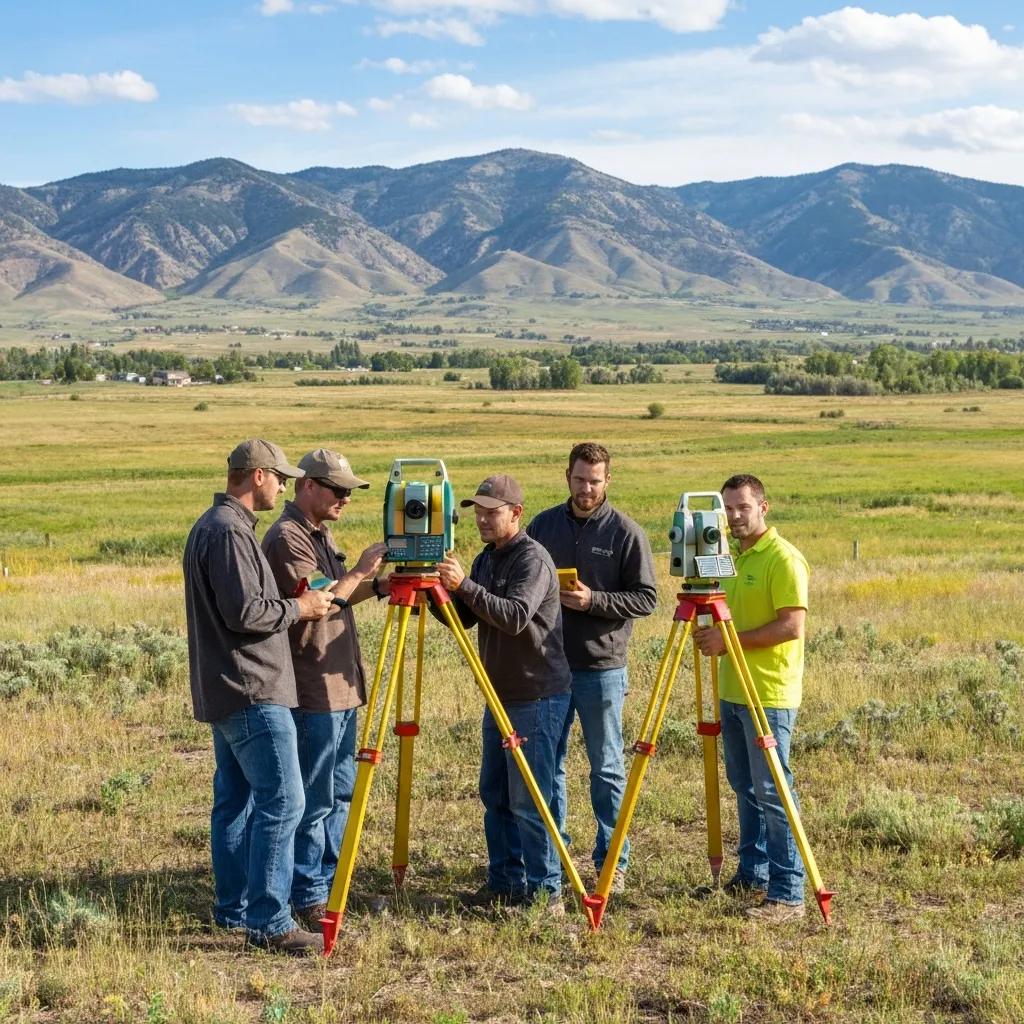
What Technologies and Methods Does Ludlow Use for Precision in Nephi’s Unique Topography?
Technology choices affect speed and precision: GNSS/GPS is efficient for establishing regional control, total stations provide high-accuracy measurements for boundary control, and UAV photogrammetry quickly captures topography on large or steep sites. Ludlow matches methods to field conditions so clients get the right tool for the job. The table below links common technologies to their benefits and expected precision for Nephi’s mixed terrain.
How Are Property Line Disputes Resolved with Professional Surveying in Nephi Utah?
Property line disputes commonly stem from encroachments, vague deed language, missing or moved monuments, or long-standing informal boundaries. Professional surveys provide impartial, documented evidence that clarifies limits and supports negotiation or legal action. Surveyors record physical and recorded evidence, prepare a clear plat and written findings, and point out where records and field evidence match or conflict. If a dispute escalates, certified plats and legal descriptions are essential exhibits in mediation or court. A methodical, documented approach—from research through monumentation—reduces uncertainty and helps parties reach a resolution.
What Causes Property Line Disputes in Nephi and How Can Surveys Help?
Disputes often arise from assumed fence lines, relocated or missing monuments, imprecise deed language, or changes in how parcels are used. Surveys help by locating original monuments when possible, reconstructing legal descriptions from records, and mapping existing improvements against reconstructed lines. Surveys do not decide legal title, but they provide the technical evidence attorneys and mediators use to negotiate agreements or present cases in court. Knowing the limits of survey evidence helps property owners set realistic expectations.
What Is the Process for Survey-Based Property Dispute Resolution in Nephi?
Typical dispute-resolution steps include engagement and scope agreement, title and historical research, field reconnaissance and monumentation, preparation of a plat and report, and support for negotiation or legal steps if needed. Surveyors recommend actions—monument replacement, boundary line agreements, or referral to title counsel—and document unresolved ambiguities for legal review. Simple disputes can resolve in a few weeks; matters requiring extensive archival research or litigation may take months. Clear, certified survey documentation remains the key deliverable throughout the process.
Diagram of Property Boundary Survey Process in Nephi
A clear workflow diagram shows the sequence from research to fieldwork to plat delivery and dispute resolution, helping clients understand timelines and responsibilities. Visualizing the process highlights where client inputs—deeds, prior plats, or access permissions—speed work and where external factors—missing monuments or title gaps—require extra time. For disputes, the diagram emphasizes the documentation and certification steps that produce evidence suitable for negotiation or court.
Case Study: Successful ALTA Survey for Commercial Development in Nephi
This Nephi-focused case study shows how a thorough ALTA/NSPS survey uncovered an undocumented easement that would have impacted a proposed building footprint. Early discovery allowed the design team to adjust the plan before closing, avoiding costly redesign and title issues. The example demonstrates the value of combining title research with field observations and how ALTA deliverables inform lender underwriting and design decisions. Local case studies like this illustrate why ordering the right survey type early matters.
Frequently Asked Questions
What Should I Expect During a Land Survey Process in Nephi?
A typical survey includes document review, field reconnaissance, precise measurements, and delivery of a plat and report. We start by reviewing title documents and previous surveys, then locate monuments and set control points in the field. After measurements are checked and mapped, you receive a signed plat and a summary of findings that explain any issues or recommended next steps.
How Can I Resolve a Property Line Dispute in Nephi?
Engage a professional surveyor to gather objective evidence: historical research, field measurements, and a certified plat. Use the survey findings to negotiate with the neighbor, pursue a boundary line agreement, or present the documentation in mediation or court if necessary. Clear survey documentation reduces uncertainty and supports a fair resolution.
What Are the Benefits of Using UAV Aerial Surveying in Nephi?
UAV aerial surveys are fast and cost-effective for large or difficult sites. They deliver high-resolution imagery and detailed topographic data, capture features on steep slopes or rough terrain, and shorten field time compared with ground-only methods. For planning and design on larger parcels, drone mapping produces comprehensive data quickly.
What Is the Importance of Accurate Boundary Surveys for Property Owners?
Accurate boundary surveys define legal limits, prevent encroachments, and ensure improvements comply with setbacks and local rules. They protect property value during sale or financing and give owners certainty about usable land. Investing in a reliable boundary survey reduces the risk of future disputes and costly corrections.
How Do Local Regulations Affect Land Surveying in Nephi?
Local rules and county recording practices affect how surveys are performed and how plats must be formatted for filing. Surveyors working in Nephi must follow Juab County conventions and local zoning or easement requirements. Working with a surveyor familiar with local regulations ensures deliverables meet recording and permitting standards.
What Should I Provide to a Surveyor When Requesting a Quote?
Provide the deed or legal description, any prior surveys or plats, and a clear statement of the project purpose (sale, refinance, ALTA, or construction). Note access limitations and any timing constraints. The more complete the information, the more accurate the quote and schedule will be.
FAQ: How to Prepare for a Land Survey in Nephi Utah
Preparing ahead reduces cost and shortens the schedule. Gather deeds, prior surveys, plats, and recent title commitments; provide clear site access to gates or fenced areas; and mark features of concern such as prior improvements or known monuments. Tell the surveyor your project purpose and timeline so they can recommend the most efficient scope—boundary plat, ALTA checklist, topographic mapping, or construction staking. Good preparation aligns expectations and helps deliver accurate, usable results. Located in Juab County for ease.
Final Call to Action with Ludlow Contact Details
Ready to request an estimate or discuss your project? Contact Ludlow Engineers and Associates for land surveying and civil engineering services in Nephi and neighboring Utah counties. Office: 1451 S. Main, Nephi, UT. Phone: 435-623-0897 to start the quote and scheduling process. Ludlow’s services include land surveying, boundary and ALTA/NSPS land title surveys, topographic mapping, UAV aerial surveying, FHA foundation inspections, and civil engineering to support site development. (ludlowengineers.com)