In recent years, UAVs, or unmanned aerial vehicles, have transformed the landscape of surveying by integrating advanced technology with traditional methods. But how exactly do UAVs enhance these age-old techniques? This FAQ blog will guide you through the benefits and advancements UAVs bring to the field of aerial surveying.
What are UAVs and Their Role in Surveying?
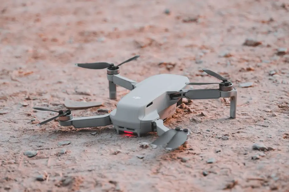
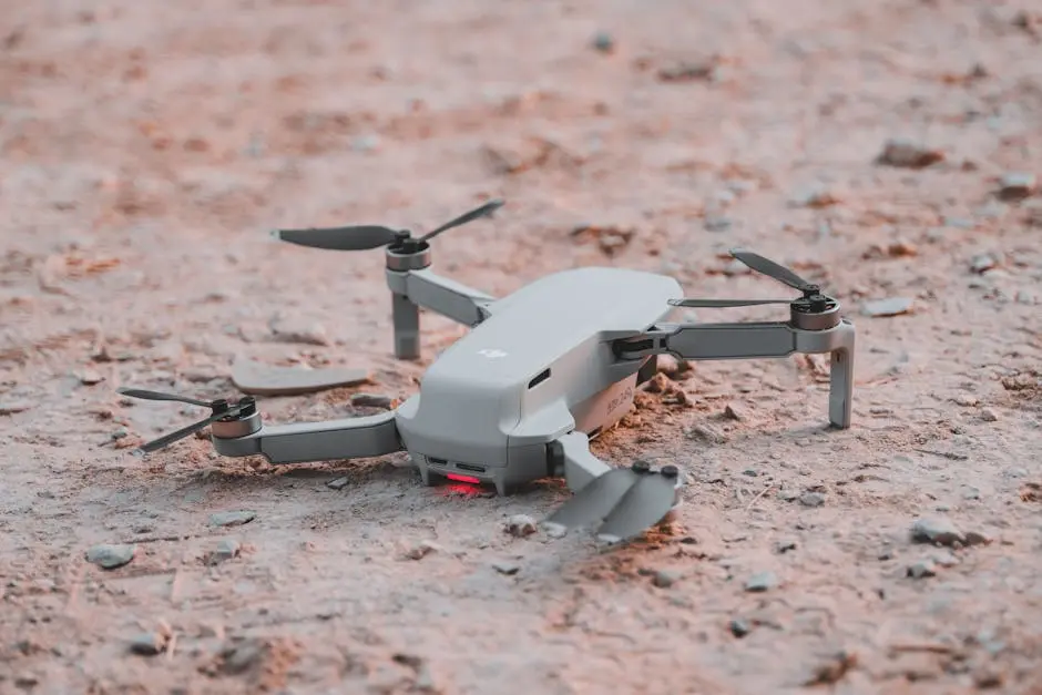
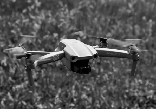
UAVs, commonly known as drones, are revolutionizing the surveying industry by providing a new perspective and capabilities that were not possible with traditional methods. These remotely operated vehicles offer a range of applications suitable for various surveying tasks, such as capturing high-resolution images and creating detailed terrain maps. With their increasing availability and affordability, drones are a game-changer for surveyors and land developers looking to optimize their work processes. As the industry continues to evolve, embracing innovations like drone mapping becomes crucial for staying ahead. By providing accurate, cost-effective, and timely data, UAV surveys enhance decision-making, project management, and marketing efforts Yellowscan explains more about drones for surveying.
Surveying has always been a pivotal aspect of land use and development, but integrating UAV technology adds a new layer of precision and accessibility. As outlined in our latest post, the advantages of UAVs extend beyond traditional surveying, offering high efficiency, reduced costs, and the ability to tackle complex terrains with ease. This transition from manual techniques to UAV-enabled surveying caters to the ever-growing need for detailed and actionable geographic data in today’s fast-paced environment.
Understanding the basic functionalities of UAVs helps in recognizing their potential. Essentially, a UAV is a flight-capable machine that can be remotely piloted or autonomously fly pre-defined paths to collect data. Equipped with advanced sensors and cameras, drones conduct surveys by capturing high-quality aerial data; they create both 2D and 3D representations of the earth’s surface, which can be used across multiple disciplines such as urban planning, agriculture, and environmental monitoring.
How Do UAVs Improve Efficiency in Surveying?
UAVs significantly speed up data collection, transforming it from a time-intensive process to a swift operation. Instead of spending days or weeks covering a vast area, drones can collect substantial data within hours. For instance, UAVs with fixed-wing configurations are particularly effective in covering large tracts of land in a single flight, making them well-suited for surveying projects that involve linear features like pipelines or road networks.
Apart from speeding up the process, drones minimize human intervention, thereby reducing associated costs. With traditional surveying, a lot of manpower is dedicated to measuring and collecting data on foot. This labor-intensive process not only takes time but also increases the risk of errors and inconsistencies. UAVs will autonomously fly pre-determined paths and use specialized equipment to gather precise information, enabling surveyors to focus more on data analysis than data acquisition.
The efficiency of drones also extends into post-processing. High-resolution aerial imagery collected by UAVs can be converted into detailed maps and models using advanced software, significantly reducing the time from field data collection to actionable insights. This accelerated workflow can greatly improve project timelines and provide quicker updates needed for informed decision-making. If you’re considering incorporating drone topographic surveys, you might find our drone topographic survey services useful.
Furthermore, UAVs offer predictability in surveying tasks. Since drones can follow customized routes, surveyors can reliably reproduce survey paths for regular data collection. This ensures consistent oversight, essential for monitoring changes over time, such as in large-scale construction projects or environmental assessments.
In What Ways Do UAVs Enhance Accuracy?
With the ability to fly at lower altitudes and utilize high-resolution cameras, UAVs provide more accurate and detailed data. This results in high-precision maps and models, reducing the margin of error inherent in traditional methods. Drones equipped with tools like LiDAR and photogrammetric cameras can collect centimeter-level accuracy data, proving invaluable in both urban and rural settings where precision is key.
LiDAR technology, often paired with UAV systems, further enhances measurement accuracy. It uses laser scanning to create detailed 3D terrain maps, crucial for applications requiring exact topographical details, such as construction site planning and land management. By delivering precise 3D models, surveyors can ensure that every aspect of a land parcel is considered, thus facilitating informed planning and design YellowScan elaborates on LiDAR technology in drones.
The complete view provided by UAVs, coupled with GPS technology, ensures that the data sets are both complete and highly accurate. Utilizing these unmanned systems means having the capability to collect spatial data in any condition—terrain steepness or inaccessibility does not compromise the quality of data. This robustness gives UAVs an edge over more traditional survey equipment, which could be hampered by such environmental factors.
Why Are UAVs More Cost-Effective?
Deploying UAVs can be considerably cheaper than traditional surveying methods. They greatly reduce the need for large teams and prolonged fieldwork, saving time and cutting down on labor costs. The initial investment in drone technology is often offset within a few projects due to the savings incurred from reduced manpower and operational expenses.
Additionally, UAVs can operate in conditions or locations that would require costly equipment or risk to personnel if undertaken via conventional means. This includes surveying hazardous sites, distant lands, or even residential areas where noise pollution from heavy survey machinery might be an issue. For more insights on cost considerations, check out Ludlow Engineers’ insights about drone-based surveying.
What Challenges Do UAVs Face in Surveying?
Despite the advantages, UAVs still face challenges such as regulatory restrictions, weather limitations, and the need for skilled operators. Understanding these challenges is vital for integrating UAVs with traditional surveying. For instance, inclement weather can affect flight paths and data accuracy, requiring careful planning and backup strategies.
Regulations surrounding drone operations continue to evolve, often differing by region. Navigating these legal frameworks is crucial in surveying, especially when working in populated or politically sensitive areas. Compliance with safety and data protection laws is paramount to ensure secure operation across various sectors.
Final Thoughts
Conclusively, UAVs have redefined the boundaries of traditional surveying techniques, making the process more efficient, accurate, and versatile. As technology continues to progress, UAVs will undoubtedly play an even more pivotal role in reshaping the world of surveying. Learn more about how Ludlow Engineers can assist you with your surveying needs today by visiting our homepage.


