In recent years, UAV aerial surveying has gained popularity as an efficient and cost-effective method for data collection. But when it comes to accuracy, how does it compare to traditional surveying methods? Let’s explore the ins and outs of UAV aerial surveying and its accuracy compared to conventional techniques.
Understanding UAV Aerial Surveying
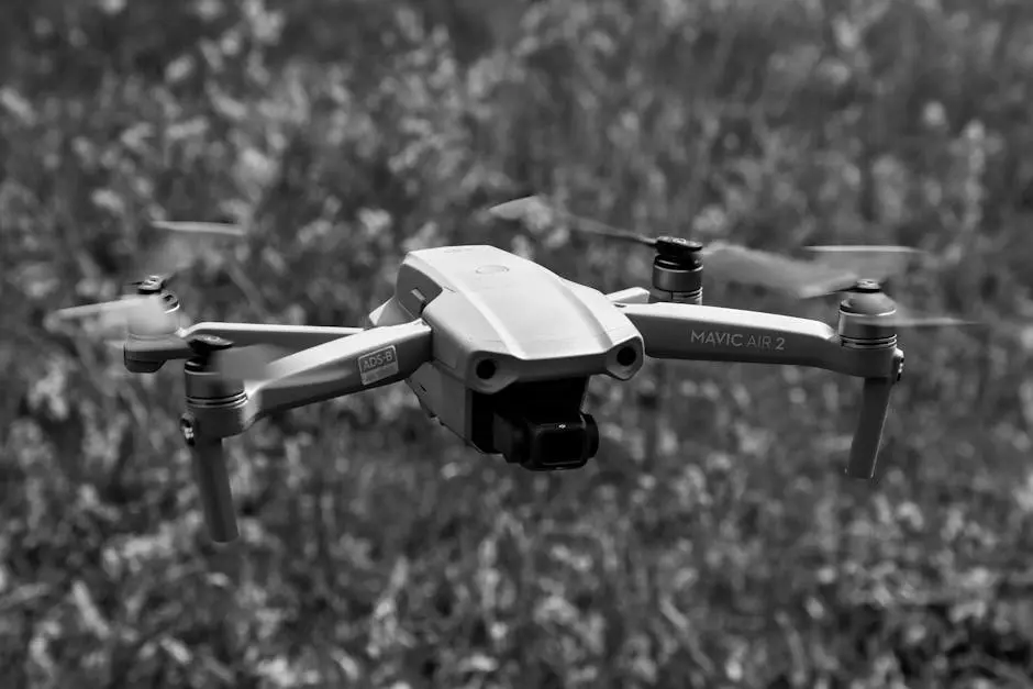
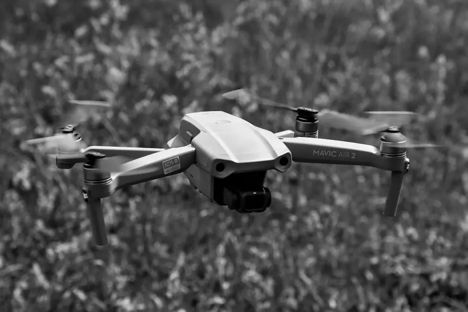
Before diving into the accuracy debate, it’s important to understand what UAV aerial surveying entails. UAVs, or drones, are equipped with cameras and sensors that capture detailed images and data from the air, making them a powerful tool for various surveying applications.
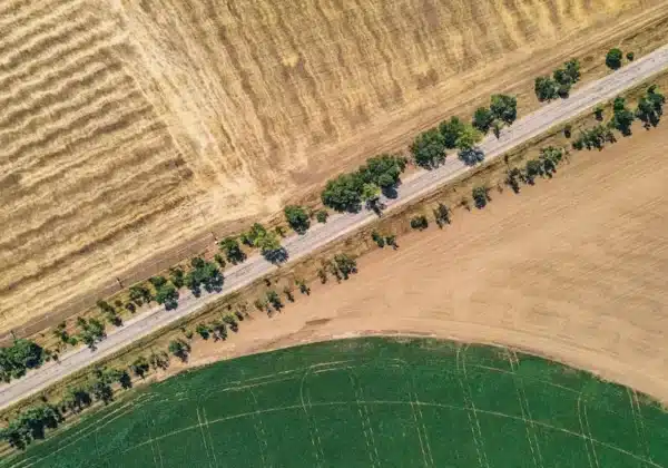
UAVs are transforming surveying by offering a bird’s-eye view of sites. They fly over areas collecting data that can be processed into digital maps and 3D models. This high-level observation is particularly useful for large-scale projects and inaccessible terrains.
One of the key components of UAV aerial surveying is the integration of advanced sensors, which can range from high-resolution cameras to LiDAR systems. These enhancements allow for the precise capture of topographical details and the creation of rich visual datasets.
Understanding the full functionality of drones in surveying can significantly enhance data collection strategies. As their capabilities expand, the potential areas of application also grow, leading to wider adoption across sectors like construction, agriculture, and environmental management.
UAV technology is known for its flexibility and adaptability, handling various tasks from mapping to inspection efficiently. This adaptability ensures that UAVs can be tailored to meet specific surveying needs, making them indispensable in modern surveying.
Benefits of UAV Aerial Surveying
UAVs offer several benefits, including speed, flexibility, and the ability to access hard-to-reach areas. These advantages often result in more efficient data collection processes compared to traditional methods.
Drones operate autonomously or via remote control, reducing the need for extensive on-site human intervention. This not only speeds up the surveying process but also lowers safety risks associated with traditional ground-based methods.
One of the standout benefits of utilizing drones in surveying is the significant reduction in time required to gather survey data. Drones can complete site-wide data collection in mere hours, whereas traditional methods might take days or weeks.
The cost-effectiveness of UAV surveys stems from their ability to cover large areas quickly with minimal manpower. This efficiency in data collection is a major reason why they are gaining favor in industries aiming to reduce expenses.
Additionally, UAVs can effortlessly navigate challenging environments—be it dense forests, rugged terrains, or urban landscapes—capturing invaluable data without the hindrances encountered by traditional surveying methods.
Accuracy Considerations in UAV Surveying
While UAVs can provide high-resolution images and precise data, factors such as flight altitude, equipment quality, and environmental conditions can influence the accuracy of the results. Understanding these factors is crucial for achieving reliable outcomes.
The accuracy of UAV-derived data is often contingent on the quality of onboard sensors and the precision of the UAV’s navigation systems. Enhanced models are equipped with GPS and RTK technology, which further refine data accuracy and geolocation capabilities.
Environmental variables, including weather conditions and lighting, can also impact data quality. Surveyors must plan UAV flights meticulously, ensuring that these factors are ideal to capture the best possible data.
UAV technology continues to advance, with developments aiming to reduce inaccuracies caused by external factors. Innovations such as improved sensor resolutions and AI-based processing algorithms are making UAV-derived data increasingly reliable.
It’s noteworthy that while UAVs can achieve remarkable accuracy levels, they might still need to corroborate with traditional methods to ensure complete precision for certain critical tasks. This cross-validation helps in maintaining high standards of data integrity.
Comparing Traditional Surveying Accuracy
Traditional surveying methods, like land-based surveying and photogrammetry, have been trusted for their accuracy for many years. They offer a high degree of precision, especially in controlled environments, but can be more time-consuming and costly.
Traditional methods entail an extensive amount of on-the-ground work, often requiring multiple surveyors and days of measurement taking. Techniques such as using total stations or handheld GPS remain indispensable for their accuracy levels.
Comparatively, while UAVs offer time-saving benefits, traditional methods boast an accuracy that is hard to surpass, particularly for small-scale, detail-intensive projects requiring meticulous spatial measurements.
The linear movement and direct contact of traditional methods with survey sites allow for precise measurements, albeit at the cost of being resource-intensive and lacking the flexibility and scope UAVs provide.
Each method has its strengths; UAVs excel in speed and covering complex terrains, while traditional methods often provide unmatched precision in refined surveying tasks. The complementary nature of these approaches often dictates their combined use in various projects.
When to Choose UAV Over Traditional Methods
Selecting between UAV and traditional surveying methods often depends on the project’s needs. UAVs are ideal for large-scale, less accessible areas, while traditional methods may be more suitable for small, highly detailed tasks.
Projects requiring speedy data collection and frequent site updates significantly benefit from UAV surveys due to their rapid deployment and data processing capabilities.
When surveying in remote areas or environments that pose safety risks to human surveyors, UAVs serve as a prudent choice, mitigating potential hazards while delivering accurate data outputs.
For high-stakes projects, where granular detail is critical, the robust techniques of traditional surveying can act as a reliable verification complement to enhance UAV data.
Ultimately, the decision to employ UAVs over traditional methods should align with the specific surveying requirements and priorities of the project, ensuring optimal resource use and data accuracy.
Final Thoughts on UAV Aerial Surveying Accuracy
UAV aerial surveying presents a significant advancement in the field of surveying with its ability to capture high-quality data quickly and efficiently. While traditional methods still hold valuable roles in certain situations, UAV technology continues to evolve, offering increasingly precise and reliable results. Deciding on the best method often depends on the project’s specific requirements and goals.


