In recent years, UAV aerial surveying has revolutionized the field of land surveying, offering a modern solution that enhances precision and efficiency. In this FAQ, we’ll explore how this technology contributes to improved accuracy in land surveys and what makes it a preferred choice in the industry.
What is UAV Aerial Surveying?
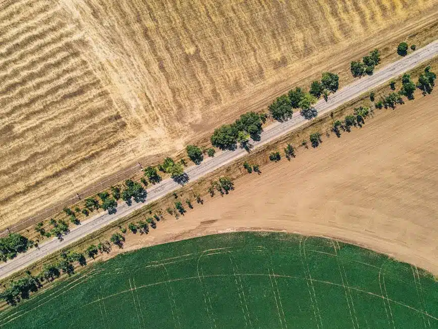
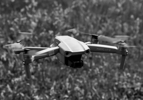
UAV aerial surveying involves the use of unmanned aerial vehicles, commonly known as drones, equipped with cameras and sensors to capture aerial data and images. This method has become increasingly popular due to its ability to cover large areas quickly and with precision.
The growing adoption of drone technology in land surveys can be attributed to its versatility. Drones are equipped with high-resolution cameras and advanced sensors, including LiDAR, to gather detailed spatial data. This technology allows for comprehensive data collection that captures every nuance of the landscape, from elevation changes to distinguishing features.
The UAVs for Surveying & Mapping by Ludlow Engineers are at the forefront of this technological shift, enhancing the way surveyors map territories. UAVs can access challenging terrains, providing an aerial perspective that is both detailed and accurate.
Why is Precision Important in Land Surveys?
Precision is critical in land surveys to ensure accurate mapping and assessment of land features. This accuracy is essential for a variety of applications, including construction, agriculture, and environmental monitoring, where slight discrepancies can lead to significant issues.
Imagine building a complex structure on the wrong land plot due to inaccuracies in survey data. This scenario highlights why precision matters so much in land surveys. Accurate land surveys prevent costly legal disputes, construction errors, and wasted resource allocation.
Accuracy is not just about getting numbers right; it’s about ensuring safe and compliant project execution. For example, zoning laws impose strict boundaries for developments and maintaining adherence to such regulations is paramount in structuring cities and communities.
How Does UAV Technology Enhance Survey Accuracy?
Equipped with GPS and high-resolution cameras, UAVs can capture detailed images and data points from various altitudes and angles. This capability allows for the creation of highly accurate 3D maps and models that are far more precise than traditional survey methods.
Drones equipped with LiDAR and photogrammetric technology can capture incredibly detailed topographical data. These technologies send thousands of pulses to measure topological variations, resulting in a high degree of relative accuracy Understanding Drone Survey Accuracy is crucial for ensuring precise project planning.
Through GPS integration, UAVs provide longitude and latitude coordinates with astounding precision. This advanced positioning technology is crucial for large-scale projects demanding absolute geographical accuracy.
What are the Advantages Over Traditional Survey Methods?
Compared to traditional methods, UAV aerial surveying is faster, safer, and often more cost-effective. Drones can access hard-to-reach areas, reducing the need for human exposure to potentially dangerous environments while also cutting down on time and labor costs.
Traditional surveying often requires significant manpower and manual measurements which can be both time-consuming and prone to human error. In contrast, UAVs automatically collect comprehensive data, vastly enhancing both speed and efficiency.
The ability to conduct surveys without entering hazardous terrains is an added advantage. This aspect not only enhances safety for personnel but minimizes the ecological footprint through reduced physical disturbances on sensitive environments.
Are there Limitations to UAV Aerial Surveying?
While UAVs provide numerous benefits, they do have limitations such as flight duration and sensitivity to weather conditions. However, ongoing advancements in technology are continuously working to minimize these challenges.
Despite advancements, drones are still at the mercy of weather conditions which can impede flight capabilities and data quality. Rain, high winds, and fog can obstruct camera views and affect sensor accuracy.
Another limitation comes in the form of necessary expertise and regulatory compliance. Operators must possess the required skills to manage drone operations effectively and adhere to the regulations governing drone usage in various regions.
Moreover, flight durations are limited by battery life. However, hybrid UAVs are progressively mitigating this limitation by combining different flight modalities to extend operational times.
Embracing the Future of Accurate Land Surveys
UAV aerial surveying has dramatically transformed the landscape of land surveys, offering unmatched accuracy, efficiency, and safety. As technology continues to evolve, the use of UAVs in surveying is expected to grow, further solidifying their importance in achieving precise land assessments. For your next project, consider exploring our comprehensive services at Ludlow Engineers.


