
Elevation Certificate: How to Obtain, Costs, and Impact on Flood Insurance
An Elevation Certificate is a crucial document for property owners in flood-prone areas, providing essential information about a building’s elevation in relation to flood zones. This article will guide you through the definition, importance, and process of obtaining an Elevation Certificate, as well as its costs and implications for flood insurance. Many homeowners face challenges in understanding how elevation affects their flood insurance premiums and compliance with FEMA regulations. By the end of this article, you will have a comprehensive understanding of Elevation Certificates, including how to obtain one, the associated costs, and how it impacts flood insurance requirements. We will also explore how to interpret FEMA flood maps and address frequently asked questions regarding Elevation Certificates.
What is an Elevation Certificate and Why is it Important?
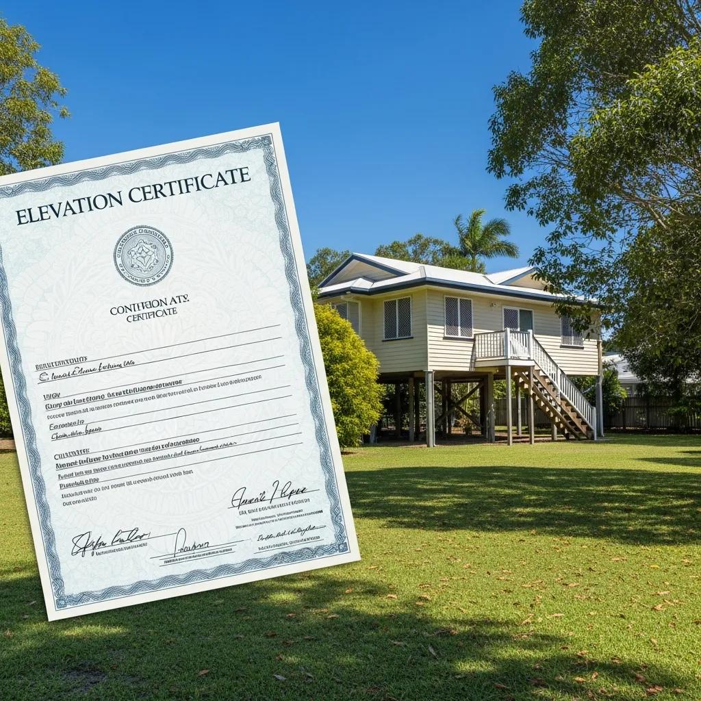
An Elevation Certificate is an official document that verifies the elevation of a building in relation to the base flood elevation (BFE). This certificate is essential for determining flood insurance rates and ensuring compliance with local floodplain management regulations. It serves as a critical tool for property owners, insurance agents, and local governments to assess flood risk and make informed decisions regarding flood insurance and mitigation measures.
Definition and Purpose of an Elevation Certificate
The Elevation Certificate includes detailed information about the building’s location, the elevation of the lowest floor, and the BFE. It is primarily used to determine the flood insurance premium rates for properties located in flood zones. Homeowners and businesses in flood-prone areas are often required to obtain this certificate to secure flood insurance and comply with FEMA requirements.
Role in Floodplain Management and FEMA Compliance
Elevation Certificates play a vital role in floodplain management by providing data necessary for local governments to enforce zoning laws and building codes. Compliance with FEMA regulations is crucial for communities to remain eligible for federal flood insurance programs. Failure to obtain an Elevation Certificate can result in higher insurance premiums and may affect eligibility for certain types of flood insurance coverage for property owners.
How to Get an Elevation Certificate: Step-by-Step Guide
Obtaining an Elevation Certificate involves several steps, primarily focused on hiring a qualified professional to conduct the necessary measurements and complete the certificate.
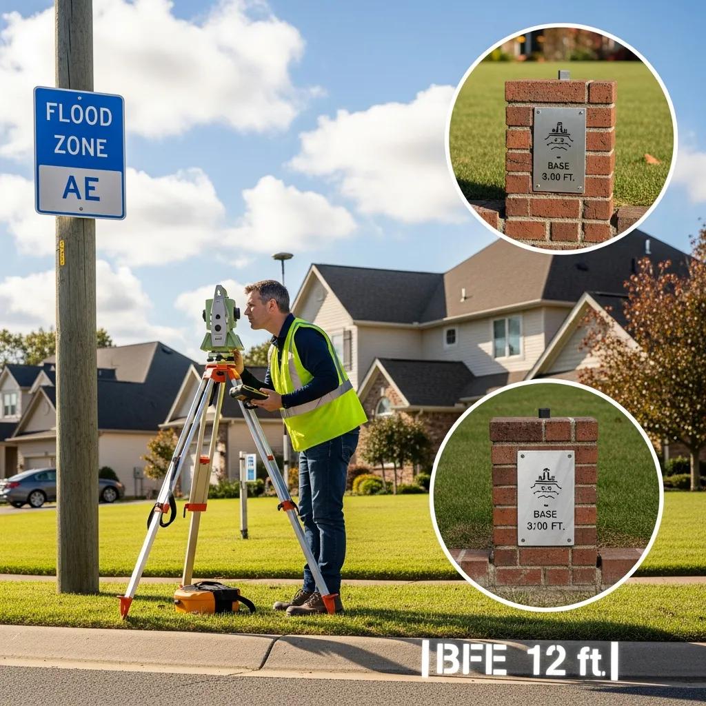
Finding a Licensed Surveyor for Accurate Measurements
To obtain an Elevation Certificate, you must first find a licensed surveyor experienced in floodplain management. Look for surveyors who are familiar with FEMA requirements and have a good reputation in your area. Ask for references and check their credentials to ensure they are qualified to perform the necessary measurements.
Understanding the FEMA Elevation Certificate Requirements
FEMA has specific requirements for Elevation Certificates, including the need for accurate measurements of the building’s elevation and documentation of the flood zone designation. Ensure that your surveyor is aware of these requirements and can provide the necessary documentation to complete the certificate accurately.
What Does an Elevation Certificate Cost and What Factors Affect Pricing?
The cost of obtaining an Elevation Certificate can vary significantly based on several factors, including the complexity of the property and the location of the surveyor.
Typical Cost Range for Flood Elevation Certificates
On average, the cost of an Elevation Certificate ranges from $300 to $700, depending on the property’s location and the surveyor’s fees. In some cases, additional costs may arise if the property is in a particularly challenging location or requires extensive measurements.
Variables Influencing Elevation Certificate Pricing
Several factors can influence the pricing of an Elevation Certificate, including:
- Property Complexity: More complex properties may require additional time and resources to measure accurately.
- Location: Surveyors in urban areas may charge higher fees compared to those in rural locations.
- Surveyor Fees: Different surveyors have varying rates based on their experience and expertise.
Understanding these factors can help you budget effectively for obtaining an Elevation Certificate.
How Does an Elevation Certificate Affect Flood Insurance Requirements and Premiums?
Elevation Certificates are instrumental in determining flood insurance requirements and premiums for property owners. They provide essential data that insurers use to assess risk and set rates. Land surveys can also be vital in this process.
Using Elevation Certificates to Determine Flood Zones
Elevation Certificates help determine whether a property is located in a high-risk flood zone. Properties in these zones are subject to stricter insurance requirements and higher premiums. By accurately assessing the elevation of a property, insurers can classify it correctly and offer appropriate coverage options.
Impact on Flood Insurance Premiums and Potential Savings
Having an Elevation Certificate can lead to significant savings on flood insurance premiums. Properties that are elevated above the BFE may qualify for lower rates, while those below may face higher premiums. Homeowners can potentially save hundreds of dollars annually by obtaining an Elevation Certificate and demonstrating compliance with floodplain management regulations.
How to Interpret FEMA Flood Maps and Flood Zone Determination
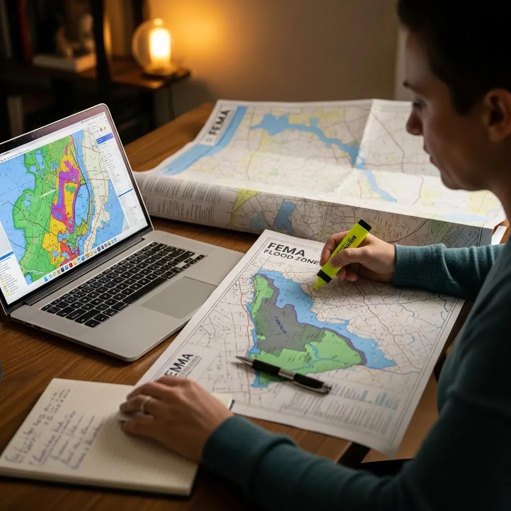
Understanding FEMA flood maps is crucial for property owners to assess their flood risk accurately. These maps provide valuable information about flood zones and the potential for flooding in specific areas.
Reading FEMA Flood Maps for Property Assessment
FEMA flood maps display various flood zones, including high-risk areas (such as Zone A, AE, or VE) and moderate-to-low risk areas (such as Zone X). Property owners should familiarize themselves with these maps to understand their flood risk and insurance requirements. Key features to look for include the base flood elevation and the flood zone designation.
Understanding Flood Zone Classifications and Their Implications
Flood zone classifications have significant implications for property owners, particularly regarding insurance requirements and building regulations. Properties in high-risk zones may be required to carry flood insurance, while those in moderate-to-low risk zones may not be required to carry it but may still choose to obtain coverage. Understanding these classifications can help homeowners make informed decisions about their insurance needs and property improvements.
Frequently Asked Questions
What information is included in an Elevation Certificate?
An Elevation Certificate includes critical details such as the property’s location, the elevation of the lowest floor, and the Base Flood Elevation (BFE). It also documents the flood zone designation and any other relevant measurements that help assess the flood risk. This information is vital for insurance companies to determine flood insurance premiums and for local governments to enforce floodplain management regulations. Accurate data ensures compliance with FEMA requirements and aids in risk assessment for property owners.
How long does it take to obtain an Elevation Certificate?
The time required to obtain an Elevation Certificate can vary based on several factors, including the availability of the licensed surveyor and the complexity of the property. Typically, the process can take anywhere from a few days to a couple of weeks. After hiring a surveyor, they will need time to conduct the necessary measurements and complete the documentation. It’s advisable to plan ahead, especially if you need the certificate for insurance purposes or compliance with local regulations.
Can I use an Elevation Certificate from a previous owner?
Using an Elevation Certificate from a previous owner is generally not recommended. Elevation Certificates are specific to the property and its current condition, and changes to the property or surrounding area can affect its flood risk. Additionally, FEMA requires that the certificate be accurate and up-to-date to ensure compliance with flood insurance requirements. If significant modifications have been made to the property, it is best to obtain a new Elevation Certificate from a licensed surveyor to reflect the current status.
What happens if I don’t obtain an Elevation Certificate?
Failing to obtain an Elevation Certificate can lead to higher flood insurance premiums and may affect your eligibility for certain types of flood insurance coverage. Insurance companies rely on this document to assess risk accurately, and without it, you may be placed in a higher risk category. Additionally, local governments may impose penalties or restrictions on properties that do not comply with floodplain management regulations, potentially impacting your ability to sell or improve the property.
Are there any exemptions for obtaining an Elevation Certificate?
Exemptions for obtaining an Elevation Certificate can vary by locality and specific circumstances. In some cases, properties located in low-risk flood zones may not require a certificate for flood insurance. However, even if not mandated, having an Elevation Certificate can still be beneficial for understanding flood risk and potentially lowering insurance premiums. It’s essential to check with local floodplain management authorities or your insurance provider to determine if any exemptions apply to your situation.
How can I appeal a flood zone designation based on my Elevation Certificate?
If you believe your property has been incorrectly designated in a high-risk flood zone, you can appeal the designation using your Elevation Certificate. The process typically involves submitting a Letter of Map Change (LOMC) request to FEMA, along with supporting documentation, including your Elevation Certificate. This can help demonstrate that your property is at a lower risk than indicated. It’s advisable to consult with a professional familiar with FEMA regulations to ensure your appeal is properly prepared and submitted.
Who Can Prepare an Elevation Certificate?
Only licensed surveyors, engineers, or architects who have been trained and are authorized by FEMA can prepare an Elevation Certificate. It is essential to hire a qualified professional to ensure the accuracy and compliance of the certificate with FEMA requirements.
Why is an Elevation Certificate Needed for Flood Insurance?
An Elevation Certificate is often required for flood insurance policies, particularly for properties located in high-risk flood zones. It provides the necessary data for insurers to assess risk and determine appropriate coverage levels.
Conclusion
Obtaining an Elevation Certificate is essential for property owners in flood-prone areas, as it directly impacts flood insurance premiums and compliance with FEMA regulations. By understanding the costs and processes involved, homeowners can make informed decisions that may lead to significant savings on insurance. Taking the necessary steps to secure this document not only protects your investment but also enhances your ability to navigate flood risks effectively. Start your journey towards obtaining an Elevation Certificate today and safeguard your property against potential flood-related challenges.