Land Surveyor Near You — 9 Questions to Ask Before Hiring and What Surveys Typically Cost
Hiring a land surveyor is a vital step for property owners, developers, and real estate professionals. A licensed surveyor defines property lines, verifies compliance with local rules, and helps keep projects on schedule. This guide walks you through the nine questions you should ask before hiring, explains common survey types, and lays out typical cost ranges so you can budget with confidence. We cover licensed qualifications in Utah, common survey types, cost drivers, and what to expect during the process.
What Qualifications Should a Licensed Land Surveyor Have in Utah?
In Utah, a land surveyor should hold the proper education, state licensure, and professional experience required to practice. Look for a licensed Professional Land Surveyor (PLS) or equivalent designation, evidence of continuing education, and familiarity with state rules and local ordinances. These qualifications help ensure accurate, defensible work and reduce the risk of costly mistakes.
Put simply: proper training and licensing are the baseline for professional, reliable surveying services.
Land Surveyor Qualifications & Professional Standards
With modern tools it’s easier than ever to take measurements, but true surveying requires the right education, adherence to state regulations, and professional standards—skills that licensing and experience verify.
Surveying: Profession And Professionalism, NR Subedi, 2007
How to Verify a Land Surveyor‘s License and Credentials in Utah
To confirm a surveyor‘s credentials in Utah, take these practical steps:
- Check the State Licensing Board: Look up the surveyor on the Utah Division of Occupational and Professional Licensing (DOPL) website to confirm active status and any disciplinary history.
- Look for Professional Affiliations: Membership in groups like the Utah Association of Land Surveyors indicates ongoing engagement with industry standards and training.
- Request Proof of Insurance: Ask for current liability and professional errors & omissions insurance to protect your project against mistakes.
These checks reduce risk and help you choose a qualified professional who follows industry best practices.
Why Experience with Local Utah Projects Matters When Hiring a Surveyor
Local experience matters. Surveyors who work regularly in Utah understand regional terrain, municipal rules, and county-level permitting processes. That familiarity speeds work, avoids surprises at the planning desk, and improves the accuracy of zoning or boundary assessments. A surveyor with local project experience will be more efficient and better prepared to manage site-specific challenges. For more information, visit land surveys.
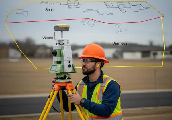
What Types of Land Surveys Are Available and Which One Do You Need?
Surveys serve different purposes. Knowing the common types helps you choose the right one for your transaction or project.
What Is a Boundary Survey and When Is It Required?
A boundary survey locates and maps the legal property lines. You’ll want one for property purchases, to settle disputes with neighbors, or before building to confirm where structures may go. Boundary surveys will show encroachments or easements that affect how you can use the land and provide the legal descriptions often required by title companies and permitting offices.
Understanding ALTA Surveys: Purpose and Pricing Factors
ALTA (American Land Title Association) surveys are the most comprehensive type used in commercial transactions. They follow strict ALTA/NSPS standards and document boundaries, improvements, easements, and title-related matters. ALTA surveys are typically more detailed — and more expensive — than a standard boundary survey. Costs depend on property size, complexity, and the amount of title research required.
How Much Does a Land Survey Cost in Utah and What Factors Influence Pricing?
Survey costs in Utah vary widely. Expect pricing to be influenced by the survey type, property size, site access, record research, and terrain. Knowing the main cost drivers will help you compare quotes and avoid surprises.
What Are the Typical Price Ranges for Property and Boundary Surveys?
Typical boundary survey costs in Utah commonly fall between $600 and $1,800 for standard residential lots, depending on size and complexity. Larger parcels or sites with difficult access, heavy brush, or complex deed histories can push costs above $2,500. Always get multiple estimates and make sure each quote lists what’s included.
Which Factors Affect Land Survey Costs: Property Size, Terrain, and Survey Type?

- Property Size: Larger areas take more time and logistical planning.
- Terrain: Steep slopes, dense vegetation, or remote locations add labor and equipment needs.
- Survey Type: Standard boundary surveys cost less than ALTA or topographic surveys, which require more detail and research.
Understanding these factors helps you plan and choose the right level of survey for your goals.
What Are the Key Questions to Ask a Land Surveyor Before Hiring?
Asking the right questions helps you evaluate competence, costs, and communication. Here are the essentials to cover during your initial conversation.
- What Are Your Licensing and Credentials?: Verify the surveyor’s Utah license and any professional registrations or certifications relevant to your project.
- What Is Your Experience with Similar Projects?: Ask for examples of comparable work — local experience and similar project types matter.
- What Is Your Insurance Coverage?: Confirm liability and professional insurance limits and request proof.
How Do Surveyors Handle Property Line Disputes and Accuracy Issues?
Qualified surveyors follow a clear process for disputes and accuracy concerns, typically including:
- Thorough research of deeds, plats, and historical records to establish context.
- Field verification using calibrated instruments and established control points.
- Clear, documented reports and maps that explain findings and support resolution or legal action if needed.
Knowing their dispute-resolution approach gives you confidence in how issues will be handled.
What Deliverables and Reports Should You Expect from Your Surveyor?
Your survey should come with clear, professional deliverables such as:
- Survey Maps: Accurate plan sheets showing boundaries, easements, and improvements.
- Legal Descriptions: Written property descriptions suitable for deeds and title records.
- Final Reports: A summary of methods, findings, and any issues uncovered during the survey.
Confirm these deliverables and formats (paper, PDF, CAD) before work begins.
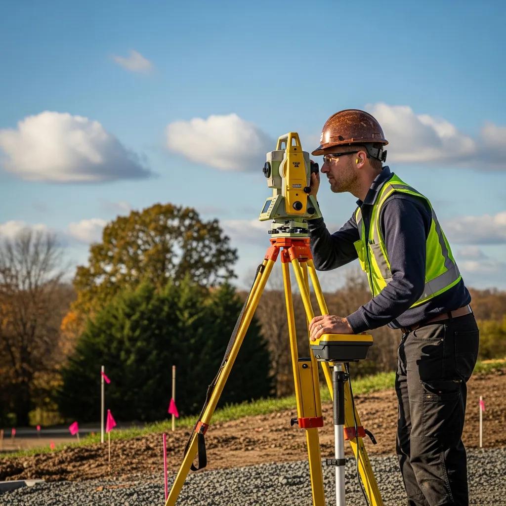
How Long Does a Land Survey Take and What Is the Typical Process?
Turnaround depends on the survey type and site complexity. Simple residential boundary surveys can often be completed in days to a couple of weeks; larger or research-heavy projects take longer. Clear communication up front helps set realistic timelines.
What Are the Step-by-Step Phases of a Land Survey?
- Initial Consultation: Define the project scope, schedule, and deliverables with the surveyor.
- Fieldwork and Data Collection: On-site measurements, monument searches, and control set-up.
- Analysis and Reporting: Record research, drafting maps, and producing final documents for delivery.
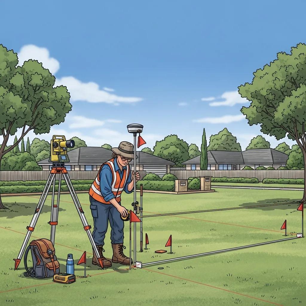
How to Prepare Your Property for a Survey to Ensure Efficiency
Preparing the site helps the surveyor work faster and keeps costs down. Helpful steps include:
- Clear the Survey Area: Remove debris, trim heavy vegetation, and mark any hazards if possible.
- Provide Access: Unlock gates or arrange access so crews can move across the site without delay.
- Gather Documentation: Share prior surveys, deeds, or title reports to speed record research.
Why Choose Ludlow Engineers and Associates for Your Land Surveying Needs in Utah?
When accuracy, local knowledge, and dependable service matter, Ludlow Engineers and Associates offers proven capability across surveying and civil engineering. With over 45 years serving Utah, our team combines technical skill with practical field experience to deliver reliable results for residential, commercial, and public projects.
What Makes Ludlow Engineers Utah’s Most Trusted Land Surveying Firm?
Our reputation is built on precise work, clear communication, and a deep understanding of local permitting and land-use rules. We prioritize timely deliverables, defensible documentation, and solutions that move projects forward. For detailed articles, project highlights, and best practices, visit our blog.
How to Request a Quote and Start Your Land Survey Project with Ludlow Engineers
Getting a quote is straightforward. Contact our office with your property address and project goals, and we’ll provide a tailored estimate and timeline. Our team will guide you through options, required deliverables, and any site-specific considerations to get your project started right.
Frequently Asked Questions
What Should I Look for in a Land Surveyor‘s Experience?
Look for experience with local codes, similar project types, and a track record of accurate deliverables. Ask how long they’ve worked in the region, request sample surveys, and check references for projects like yours.
How Can I Ensure My Land Surveyor Uses Accurate Equipment?
Ask about the tools and technology they use — modern GPS, total stations, and drone mapping are common. Also ask about calibration and maintenance practices, and request examples of recent work that demonstrate measurement precision.
What Are the Common Mistakes to Avoid When Hiring a Land Surveyor?
Avoid hiring without verifying credentials, skipping insurance checks, or accepting the lowest bid without confirming scope. Get multiple quotes, compare deliverables, and confirm timelines to prevent surprises.
What Is the Importance of a Surveyor‘s Liability Insurance?
Liability and professional errors insurance protect you if mistakes occur. If a survey error leads to a dispute or rework, insurance helps cover corrective costs. Always ask for proof of coverage before work begins.
How Can I Prepare for a Land Survey to Minimize Delays?
Clear access, unlock gates, remove obvious obstacles, and provide any existing surveys or deeds. Clear communication about site conditions and access restrictions also helps crews work efficiently.
What Are the Legal Implications of Not Conducting a Land Survey?
Without a survey you risk boundary disputes, zoning violations, and title complications. Unidentified easements or encroachments can disrupt development plans and lead to costly legal issues. A survey protects your investment and clarifies allowable uses.
Conclusion
Investing in a qualified land surveyor protects your property, supports confident decision-making, and keeps development on track. Ask the right questions, understand cost drivers, and choose a firm with proven local experience. If you’re ready to move forward, request a quote from an experienced survey team and get your project started on solid ground.