
Trusted Land Surveyors in Rocky Ridge, Utah — Accurate, Local Property Solutions
When you need reliable land surveying in Rocky Ridge, Utah, experience and local knowledge matter. Ludlow Engineers and Associates is a locally rooted firm offering a full suite of surveyingservices designed for homeowners, developers, and businesses in our community. Below we walk through the main services we provide, how our process works, typical costs you can expect, and how to request a custom quote — so you can move forward with confidence and clarity.
Why choose Ludlow Engineers for land surveying in Rocky Ridge, Utah?
Picking the right surveying partner protects your property and your timeline. With more than 40 years of practice in the region, Ludlow Engineers and Associates combines technical accuracy with a customer-first approach. Our local experience and steady focus on clear communication are what our clients tell us sets us apart.
What experience and certifications do our Rocky Ridge surveyors have?
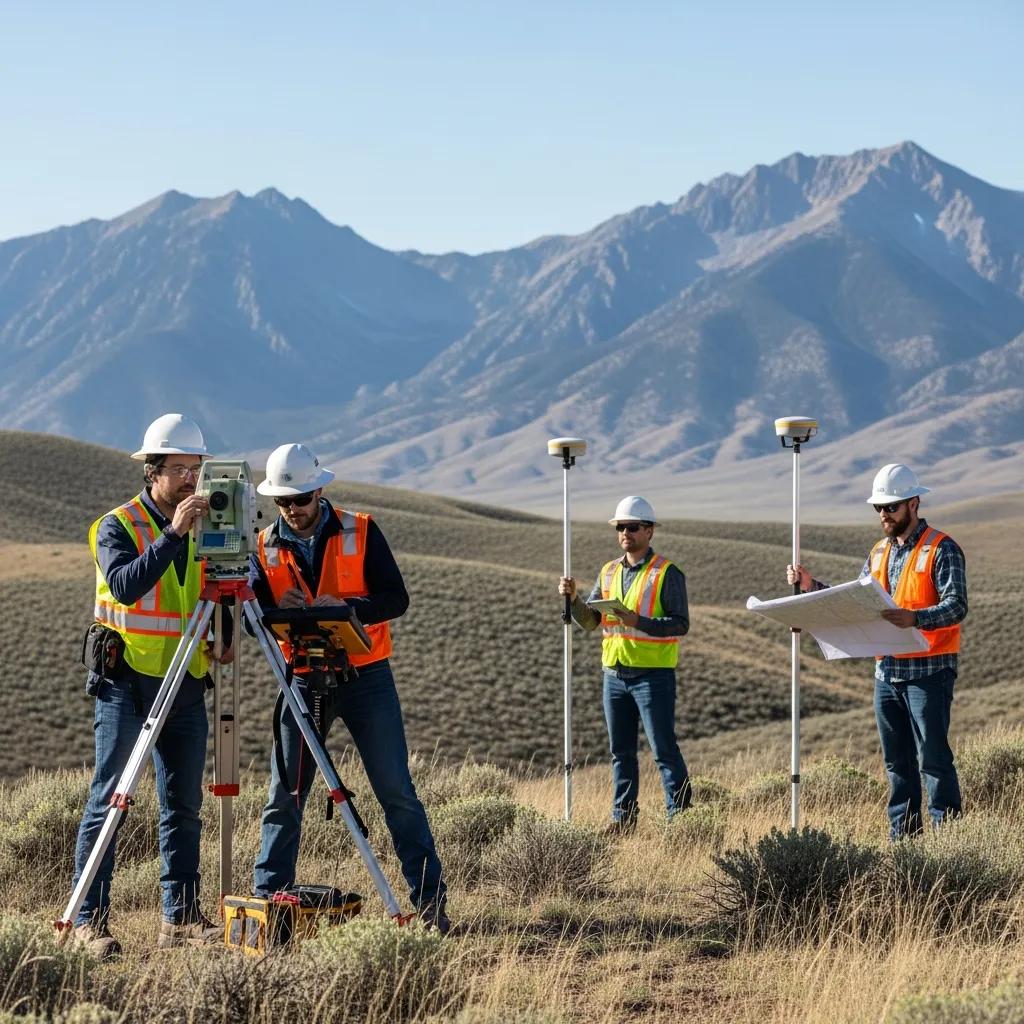
Our team includes licensed surveyors and experienced field technicians with certifications relevant to boundary work, ALTA/NSPS surveys, topographic mapping, and construction staking. Together, their decades of practice allow us to handle complex projects while meeting state standards and industry best practices.
How does our local expertise benefit Rocky Ridge property owners?
Working locally means we know the terrain, municipal rules, and typical property challenges here. That familiarity speeds fieldwork, reduces surprises, and helps us deliver survey products that are accurate, code-compliant, and tailored to the realities of Rocky Ridge neighborhoods and developments.
What land surveyingservices are available in Rocky Ridge, Utah?
Ludlow Engineers provides a range of surveyingservices to fit different needs: boundary and lot surveys, ALTA/NSPS land title surveys for commercial transactions, commercial site plans, topographic mapping, and civil engineering support when projects require it.
How do boundary surveys define property lines in Rocky Ridge?
Boundary surveys locate and document the legal corners and lines of a parcel. They resolve questions about ownership limits, help prevent neighbor disputes, and provide the certified evidence you need for permits, sales, or construction.
What are ALTA surveys and why are they important for commercial properties?
ALTA/NSPS land title surveys are detailed, standardized surveys that map property boundaries, easements, improvements, and recorded exceptions. Lenders and title companies typically require them for commercial transactions because they reduce risk and clarify any title or site issues before closing.
How does the land surveying process work for Rocky Ridge clients?
We follow a clear, step-by-step process so clients know what to expect from start to finish. That transparency helps us deliver accurate results on schedule.
What are the key steps from consultation to survey completion?
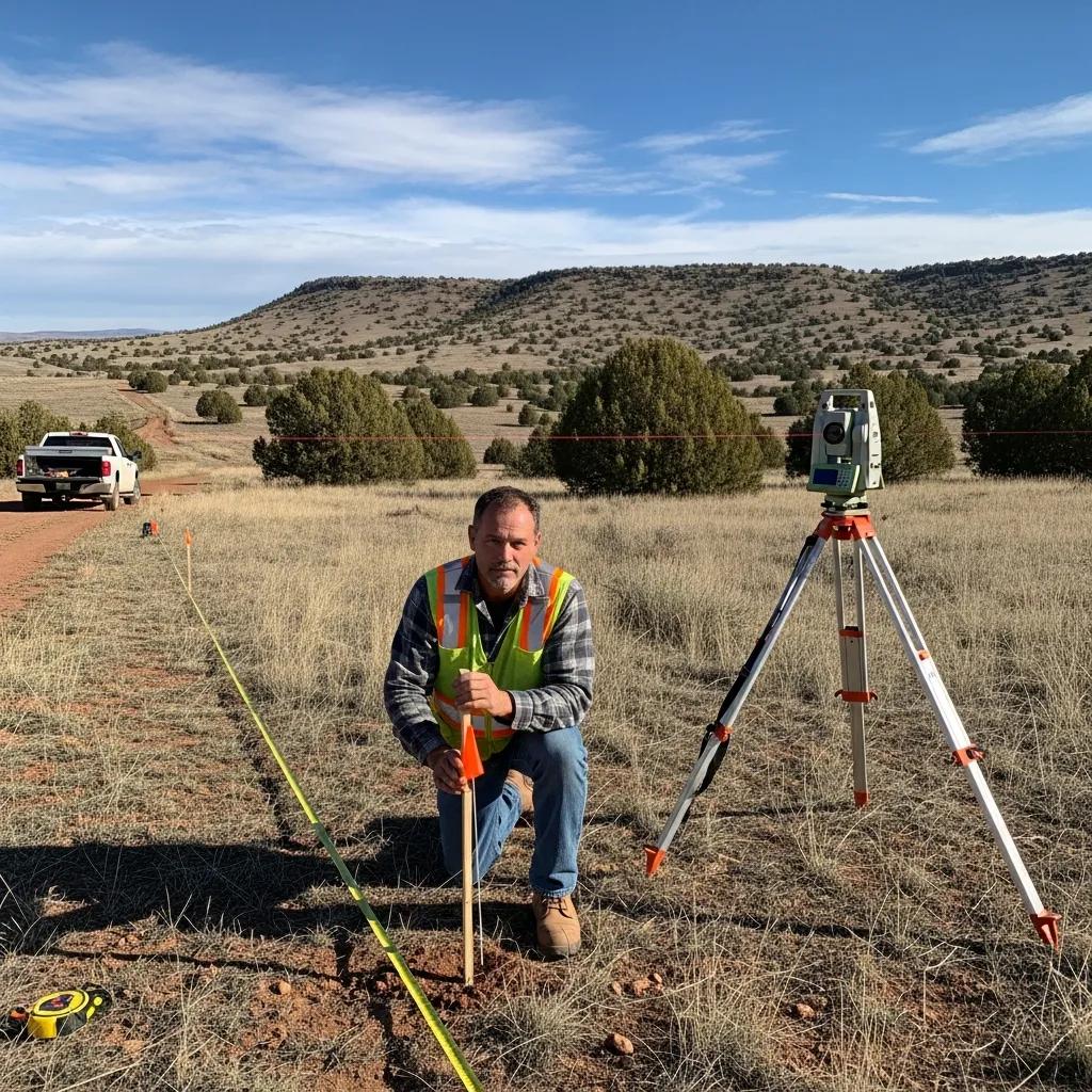
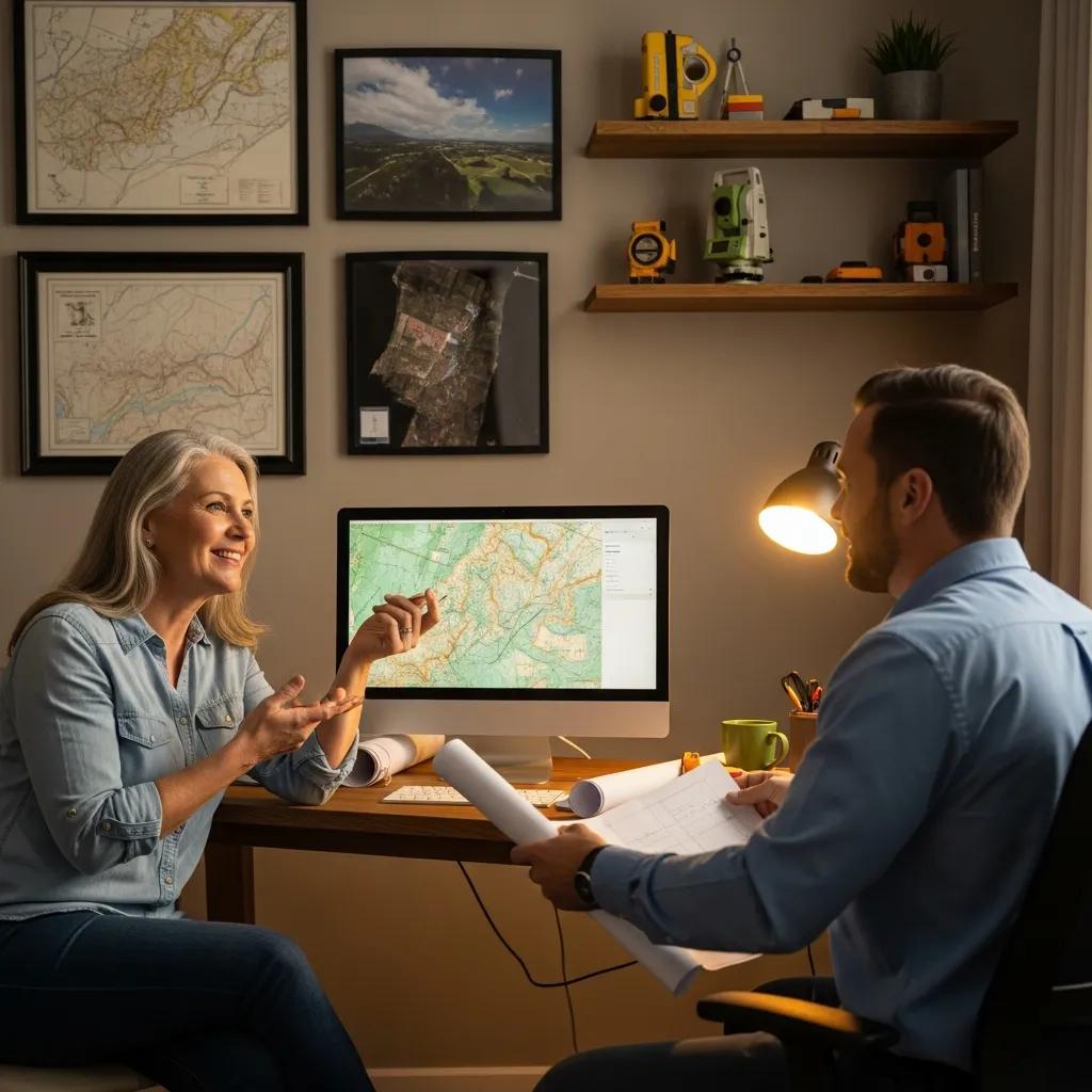
We start with a consultation to define the scope and review any existing documents. Next comes fieldwork to collect measurements, followed by office processing and quality control. Finally we deliver certified maps and reports and answer any follow-up questions you have.
How do we ensure accuracy and compliance in Rocky Ridge surveys?
Our surveyors use modern instruments and proven methods, cross-check records, and apply state and local standards at every stage. This combination of technology and experience ensures our surveys meet regulatory requirements and stand up where accuracy matters most.
What are the typical costs of land surveyingservices in Rocky Ridge, Utah?
Survey costs depend on the service type, the property’s size and condition, and any special research or deliverables required. Below are typical ranges to help you budget; a detailed quote reflects your site’s specifics.
How do property size and survey type affect pricing?
Larger parcels, rugged terrain, and surveys that require legal research or higher detail (such as ALTA/NSPS) increase field time and office work, which raises the price. Simpler boundary surveys on small, accessible lots tend to be at the lower end of the range.
Are there local factors influencing survey costs in Rocky Ridge?
Local permitting rules, zoning complexity, and access constraints can add time or documentation to a job. Market demand and seasonal field conditions may also affect scheduling and cost — we’ll explain any local factors when we prepare your estimate.
The table above shows common price ranges and the main drivers that influence final cost.
How can Rocky Ridge property owners request a land survey quote?
Getting a quote is straightforward — provide a few key details and we’ll respond with a clear, written estimate and timeline.
What information is needed to get an accurate quote?
Tell us the property address, the type of survey you need, any deadlines, and any known site issues or existing documents (deeds, prior surveys, or plats). The more info you share up front, the more accurate and timely your quote will be.
What are the contact options for Ludlow Engineers in Rocky Ridge?
You can reach Ludlow Engineers by phone or email, or submit a request through our website for a fast response. We’ll confirm details, outline the next steps, and schedule fieldwork once you approve the quote.
What do clients say about Ludlow Engineers’ land surveying in Rocky Ridge?
Client feedback consistently highlights our accuracy, responsiveness, and professionalism. Homeowners and commercial clients alike appreciate clear deliverables and practical guidance through the permitting or closing process.
Which testimonials highlight our reliability and precision?
Clients often call out our attention to detail, timely turnaround, and the way we explain results in plain language. Those qualities are what help projects stay on schedule and avoid costly surprises.
How have we helped resolve property disputes in Rocky Ridge?
Clear, well-documented boundary surveys from Ludlow Engineers have settled many ownership questions and prevented escalation. Our certified maps and objective field evidence give property owners and neighbors a reliable basis for resolution.
Frequently asked questions
What types of properties require land surveyingservices?
Surveys are useful for residential lots, commercial parcels, industrial sites, and undeveloped land. Typical reasons include boundary resolution, subdivisions, financing or title work, construction staking, and site planning for development.
How long does the land surveying process typically take?
Timelines vary: a simple boundary survey can take a few days to complete, while complex ALTA/NSPS surveys or work requiring extensive research may take several weeks. Weather, site access, and permitting needs can also affect schedules.
What should property owners do to prepare for a land survey?
Gather any deeds, plats, or prior surveys you have and mark any obvious access points. Clearing brush from corners if possible helps field crews. Be available to discuss property history or concerns — that information speeds up the process.
Can land surveys be used for future property development?
Yes — surveys provide the boundary, easement, and topographic details needed for site design, permitting, and construction. Accurate survey data is essential for avoiding conflicts and complying with zoning and building regulations.
What are the common challenges faced during land surveys?
Surveyors commonly deal with steep or heavily vegetated terrain, limited access, weather delays, and discrepancies in older records. Neighbor disputes or unclear historical descriptions can also require additional research.
How can property owners verify the credentials of a surveying company?
Check for state licensing, professional certifications, and membership in professional organizations. Ask for references, review past project examples, and confirm insurance coverage. We’re happy to share our credentials and client references on request.
Conclusion
Partnering with Ludlow Engineers for land surveying in Rocky Ridge means experienced, local professionals delivering accurate, compliant surveys and clear answers. With decades of hands-on experience, we help property owners protect their investments and move projects forward. Contact us today for a personalized quote and straightforward guidance on your next survey.