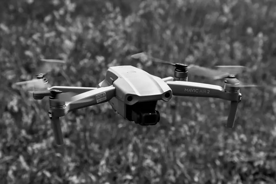
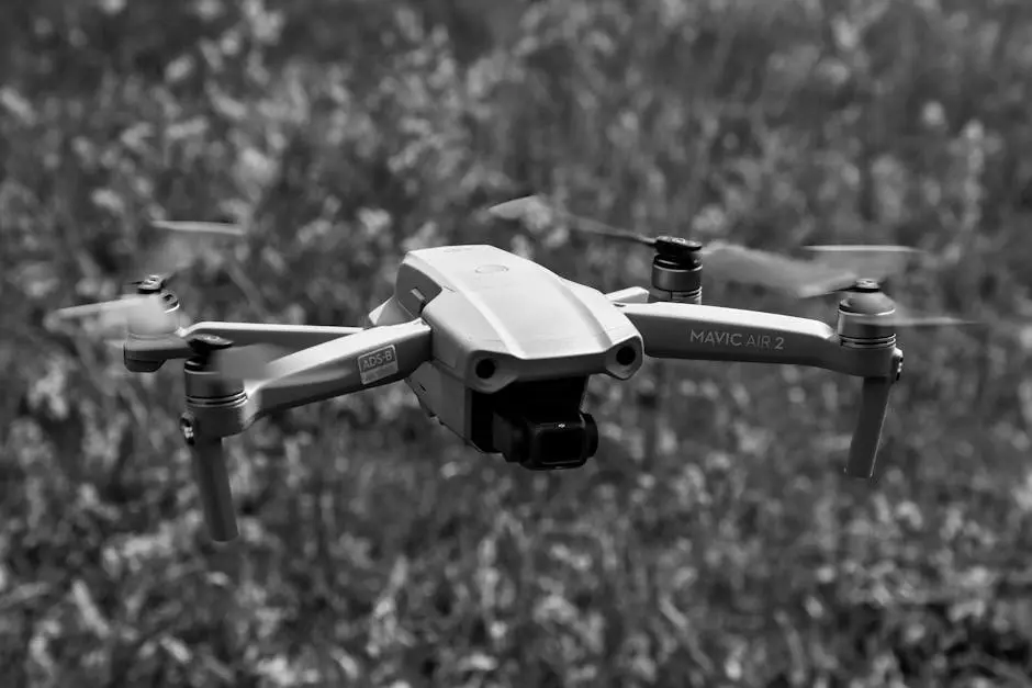
Unmanned Aerial Vehicles (UAVs), commonly known as drones, have revolutionized the way aerial surveys are conducted. They offer a cost-effective, safe, and efficient method of capturing detailed geographical data. In this guide, we’ll explore how UAV aerial surveys work, their benefits, and what the process entails.
What is UAV Aerial Surveying?
UAV aerial surveying involves using drones equipped with cameras and sensors to capture images and data of the earth’s surface. This technology is used for mapping, monitoring, and evaluating geographical areas. It essentially replaces human-operated survey methods by offering a bird’s-eye view of large land areas with greater precision and less human intervention.
The method uses drones equipped with state-of-the-art technology to not only capture excellent aerial images but also to gather various types of spatial data. Depending on the equipment used, these drones can measure everything from terrain elevation to detailed infrastructural layouts. The precision with which UAVs operate often surpasses traditional surveying methods, highlighting their efficiency and versatility. As explored further on Ludlow Engineers’ site, these advancements are paving the way for more comprehensive and swift data collection.
A critical aspect of UAV aerial surveying is its adaptability. Different models of UAVs are suited to various tasks. For instance, Fixed-wing UAVs are beneficial for surveying large parcels of land efficiently, while multi-rotor drones excel in more confined and complex areas. These variations allow for tailored survey approaches depending on the specific requirements of a project.
Key Benefits of UAV Aerial Surveys
UAV aerial surveys offer key benefits that make them an attractive option for many industries. First, they significantly reduce the cost associated with traditional surveying methods by minimizing the need for manpower and time spent on-site. The automation provided by drones means that vast areas can be surveyed quickly and efficiently.
In addition to cost savings, UAV surveys provide enhanced safety. By using drones, surveyors do not have to traverse hazardous terrains or climb dangerous structures, thus reducing the risk of injury. This aspect makes UAVs particularly valuable in sectors such as mining and construction.
Moreover, drones equipped with LIDAR and photogrammetry cameras offer high precision and comprehensive data output. The integration of these technologies allows for the gathering of highly detailed information necessary for accurate mapping, as demonstrated in Drones for Surveying: How They Work and Their Applications.
Beyond precision and safety, UAVs are also versatile. They can operate in varied environments and accomplish a wide range of tasks from simple photography to complex data collection processes like volumetric analysis, photogrammetry, and more.
The UAV Survey Process
The UAV survey process starts with meticulous planning. This step involves identifying the areas to be surveyed, assessing the potential legal and environmental constraints, and selecting the appropriate equipment and UAV type for the task. This crucial stage sets the foundation for successful data collection and project outcomes.
During the flight, UAVs traverse the predefined path autonomously, capturing data through integrated sensors. The onboard GNSS systems and georeferencing are employed to ensure the accurate location of collected data points. The process involves complex interaction between the drone’s IMU and positioning systems to maintain the precision of data capture.
Once the flight completes, the gathered data undergoes a processing phase where it is refined, analyzed, and converted into usable forms such as 3D models, digital terrain maps, or orthomosaic images. This processing can highlight details that might not be visible to the naked eye, offering qualitative insights essential for project planning and development.
Finally, the results from the UAV survey are delivered to clients, who can then leverage this rich trove of data for purposes ranging from planning and design to construction and development. This closing step underscores the value of UAV surveys in enabling better decision-making and project execution.
Applications of UAV Aerial Surveys
The applications of UAV aerial surveys are expansive. In the field of construction and urban planning, these surveys provide critical data needed for designing infrastructure projects such as buildings, roads, and bridges. This helps architects and engineers visualize and account for all aspects of the land upon which they are building.
In agriculture, UAVs play a pivotal role by assisting in crop monitoring and health assessment. They enable the precise evaluation of plant health and soil conditions over large agricultural expanses, thereby optimizing yields and minimizing waste. The same technology is instrumental in forestry for assessing tree health and biomass estimation.
The mining industry also benefits from UAVs by employing aerial surveys for site evaluation and monitoring. With the ability to swiftly gather detailed topographic data, mining operations can enhance precision and safety in their processes, ensuring compliance with environmental regulations and operational efficiency.
Challenges and Considerations
Despite the numerous advantages of UAV aerial surveys, there are challenges that must be navigated. One of the main concerns is regulatory restrictions, as the use of drones involves navigating complex legal frameworks. Compliance with aviation laws and obtaining necessary permissions are critical steps in planning autonomous flights.
Privacy issues are another concern, as the use of aerial imagery can potentially infringe on privacy rights. Drones must be operated responsibly and ethically, ensuring that data collection respects the privacy of individuals and adheres to established guidelines.
Lastly, though UAVs automate many aspects of surveying, skilled operators are necessary to set up, monitor, and troubleshoot technical aspects of the surveys. Training becomes essential in maximizing the effectiveness of UAV systems and ensuring the accuracy of the resulting data.
Summary of UAV Aerial Surveys
In conclusion, UAV aerial surveys offer a modern and efficient solution to traditional surveying methods. By providing accurate and timely data, they are transforming industries and aiding in better decision-making. Understanding the process and benefits of these surveys can greatly enhance various projects and operations. To learn more about how UAVs can help your projects, visit Ludlow Engineers.


